
Source: USGS Landsat
All 8 million Landsat scenes are available to download from EarthExplorer, GloVis, and the LandsatLook Viewer.
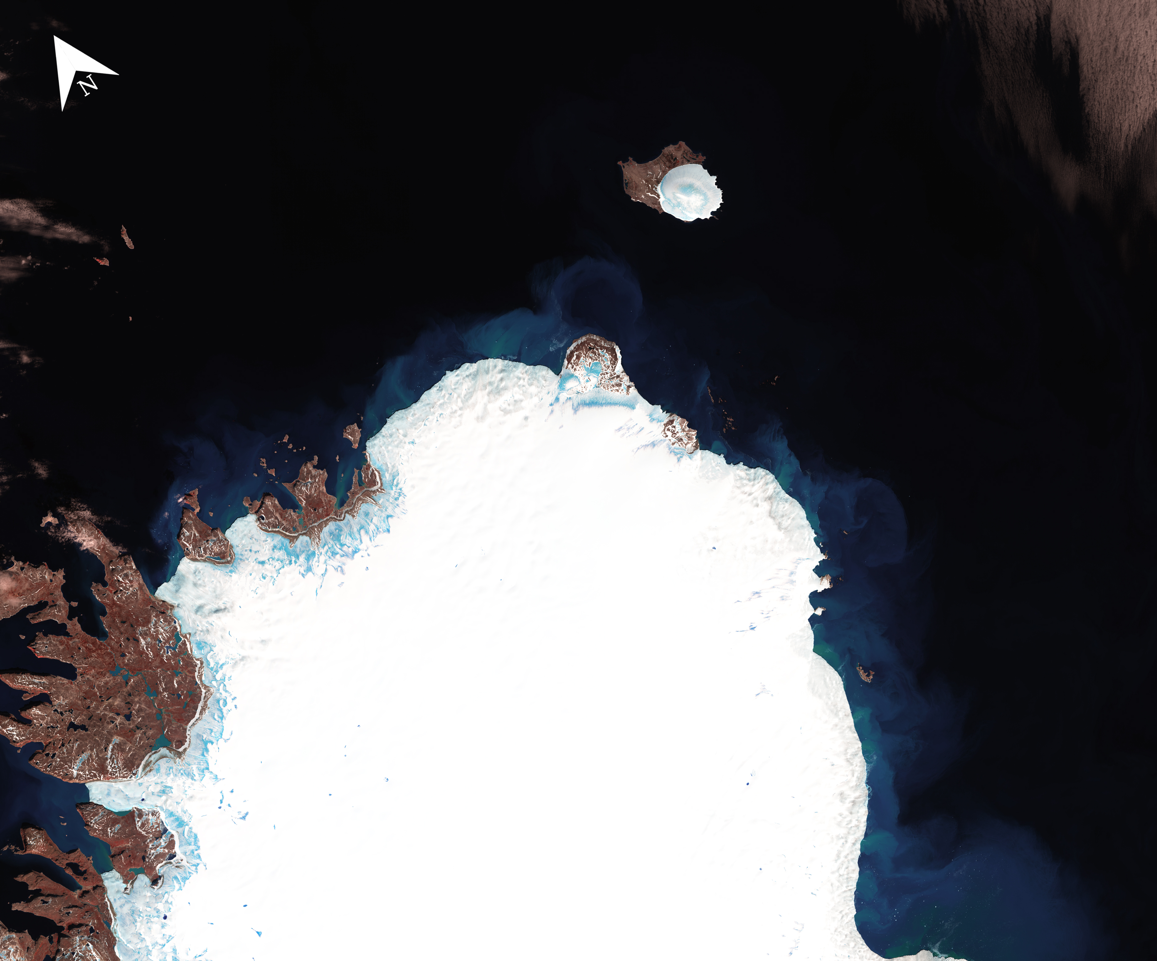
As the world’s longest continuously acquired collection of space-based, moderate-resolution land remote sensing data, the USGS Landsat archive adds over 1,100 scenes each day.

Be Part of What’s Next: Emerging Applications of Landsat at AGU24
Anyone making innovative use of Landsat data to meet societal needs today and during coming decades is encouraged to submit and abstract for the upcoming “Emerging Science Applications of Landsat” session at AGU24.


