
By Laura E.P. Rocchio
Amy Hudson Pickens is a remote sensing scientist at the University of Maryland College Park. On Thursday evening at #AGU16, she gave a talk on her Landsat-based surface water research. Here is what she shared with us:
Presentation Title
Mapping the Dynamics of Surface Water Extent 1999-2015 with Landsat 5, 7, and 8 Archives
What are the major findings of this research?
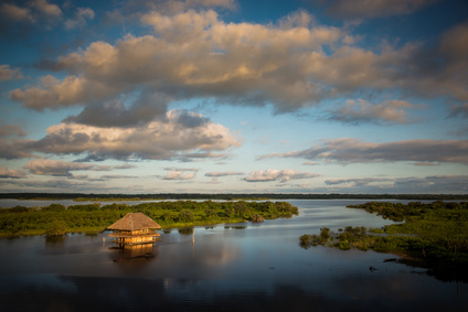
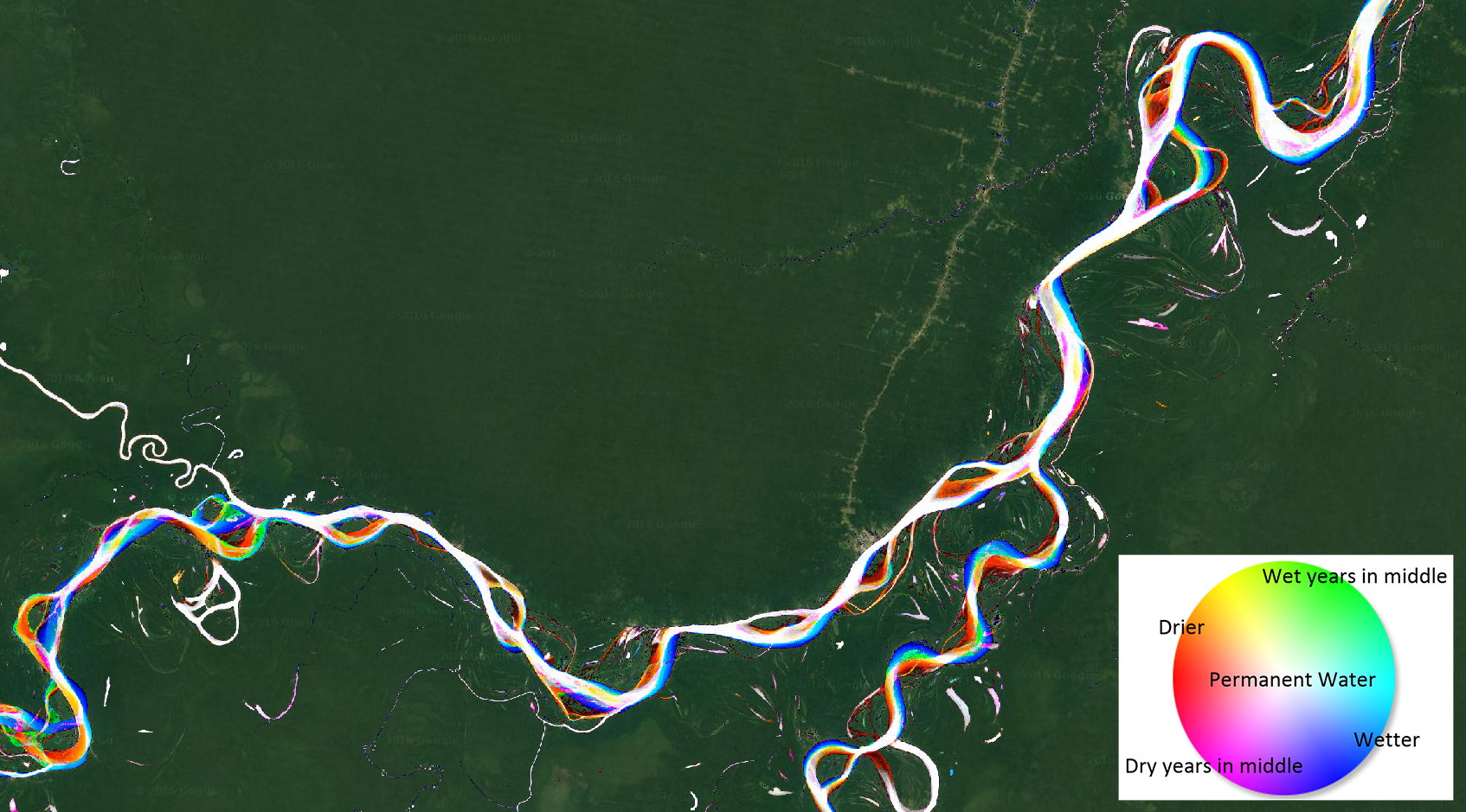
This study shows how much surface water extent varies in space and time through the past 17 years. Based on the entire Landsat record 1999 – 2015, the developed maps highlight the interannual dynamics, how those dynamics differ depending on the season tracked, and seasonal dynamics. We can clearly see the surface water area increase in the Tibetan Plateau, the new islands formed in the Bay of Bengal, and the seasonal inundation of paddy fields in the Mekong Delta.
What are the implications of your findings?
We need to address changing water landscapes to protect human and ecological health. Landscapes dependent on water are facing unreliable access. Additionally, it is clear that in order to get an accurate understanding of water dynamics across a landscape we need to we need to take into account multiple transitions.
There are many landscapes that become wetter for a few years and then return to a drier state for the duration of the period or vice versa and many with much more frequent oscillations back and forth, which can have very different impacts, e.g. on human water withdrawals or wetland ecosystems. If we force these dynamics into one-way transitions or flatten them to percent occurrence, we weaken our ability to meet these needs.
What insight did you gain from Landsat that would have been impossible to glean otherwise?
The Landsat program provides the longest global satellite record and has frequent revisit rate. This allows us to track surface water presence both seasonally and through the years, and give an accurate picture of where surface water is present for a given time period. It’s 30m resolution allows us to map the dynamics of small rivers and lakes.
What are some of the key potential future applications of this work?
With a temporal data density of every month since January 1999 and a spatial resolution of 30m this data set will allow in-depth hydrologic, geographic, and ecologic studies at global and local scales. All of the developed maps could be used to assess the impact on a watershed of irrigation diversion or paddy land expansion, or the effects of temperature and precipitation shifts on local and global scales.
Co-authors:
Matthew Hansen
University of Maryland
Matthew Hancher
Google
Peter Potapov
University of Maryland College Park
Anyone can freely download Landsat data from the USGS EarthExplorer or LandsatLook.
Further Reading:
+ Tracking Global Surface Water Dynamics with Landsat, Amy’s #AGU15 Q&A
+ Landsat Abounds at #AGU16


