
Dr. Gabriel Senay is a Research Physical Scientist with USGS EROS, North Central Climate Science Center. Today at #AGU16, Dr. Senay is presenting a poster on observed water use trends in the Southwestern U.S over the past three decades. Here’s what Dr. Senay shared with us about his research:
Presentation Title
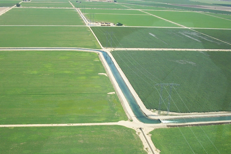
Landsat based historical (1984-2014) crop water use estimates and trends in the Southwestern United States
What are the major findings of this research?
- The impact of water management decisions were more visible than climate drivers on crop water use (evapotranspiration) changes over time.
- While air temperature increased consistently over the years by as much as 1.2 K, atmospheric water demand and crop water use were largely neutral on most basins.
- The SSEBop ET modeling approach was found to be stable in processing 3,396 Landsat images and generating reliable estimates for trend analysis and quantifying the association between crop fallowing programs and water savings and the link between water transfer from agriculture to municipality uses.
What are the implications of your findings?
- Historical remote sensing data from Landsat can be used to discern the relative impacts of climate vs management decisions on water use and availability in a basin.
- Consistent datasets from Landsat can be used to update existing water use reports so that future water allocation decisions maybe revised accordingly.
- Historical field scale ET maps can be used to evaluate and monitor the effectiveness of management decisions such as crop fallowing at a farm scale and assess its impact on downstream water uses and users.
What insight did you gain from Landsat that would have been impossible to glean otherwise?
The relatively high spatial detail from Landsat allows differentiation of water use by crop type and individual farm field. At the moment, only Landsat can provide a consistent historical data going back to the 1980s that is long enough for trend analysis and investigate the relationships between management decisions and climatic drivers.
Do you foresee the ET estimation method used in your study being used for water resource allocation decisions or other applications?
As a landscape response variable, ET provides a direct assessment of water use and loss with implications on water availability and crop production. There will be an increasing application and demand for remote sensing based ET products, from water budget studies to drought monitoring. A consistent dataset and methodology is essential for quantifying and understanding seasonality, and more importantly trends. Methods that use physically based parameters that are simple and robust are useful for water management decisions such as water allocation and curtailment. SSEBop is one such model that has been implemented using global datasets to provide locally relevant information on crop water use and drought conditions. However, continued evaluation and improvement is required by specific users, depending on the level of accuracy required for potential bias removal that could come from any of the input datases and/or model parameters.

Co-authors:
Matthew Schauer
Innovate! Inc., Contractor to the USGS EROS Center
MacKenzie Friedrichs
SGT Inc., Contractor to the USGS EROS Center
Naga Manohar Velpuri
ARTS Contractor
Ramesh K Singh
ARTS Contractor
This research was made possible by the USGS Land Change Science and USGS WaterSMART programs.
Anyone can freely download Landsat data from the USGS EarthExplorer or LandsatLook.
Further Reading:
+ Landsat Abounds at #AGU16


