
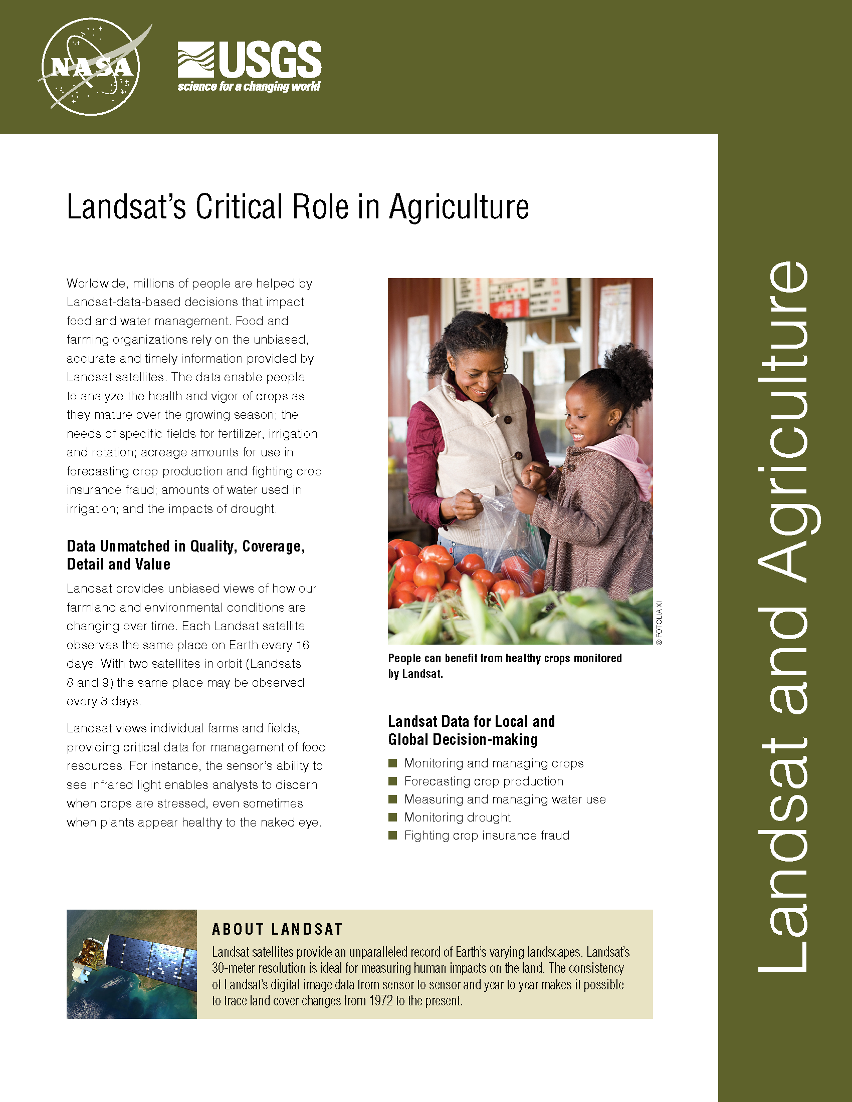
Landsat Thermal Data Provides Insight to Vintners
Landsat thermal bands allow for the measurement of water use and moisture status at the management scale.
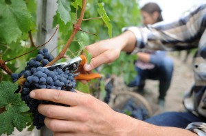
The Shifting Irrigation Patterns of the U.S. High Plains Aquifer
A new method to use the full Landsat archive to produce annual maps of irrigated area over the High Plains Aquifer in the central United States.
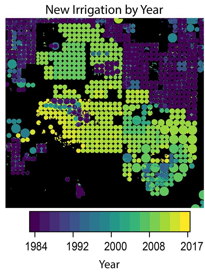
Improving Water Resource Management in the Great Plains
Making annual high-resolution agricultural subsurface drainage maps for the Northern Great Plains regions using multiple satellite and model datasets with Google Earth Engine.
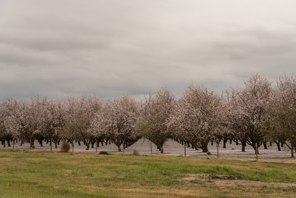
Towards Agricultural Sustainability of Fruit and Nut Trees in California’s Central Valley
A robust detection method to track crop cover dynamics and identify the planting year through Landsat time series data.

Earth Images Enable Near-Perfect Crop Predictions
Boston-based startup TellusLabs uses Landsat and MODIS images to predict corn and soy yields with remarkable accuracy.
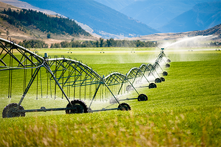
Landsat Imagery Sheds Light on Agricultural Water Use
Researchers armed with data from the Landsat Earth-observing satellites recently teamed up with Google to track water used for irrigation.