
Landsat's Role in Agriculture and Food Security
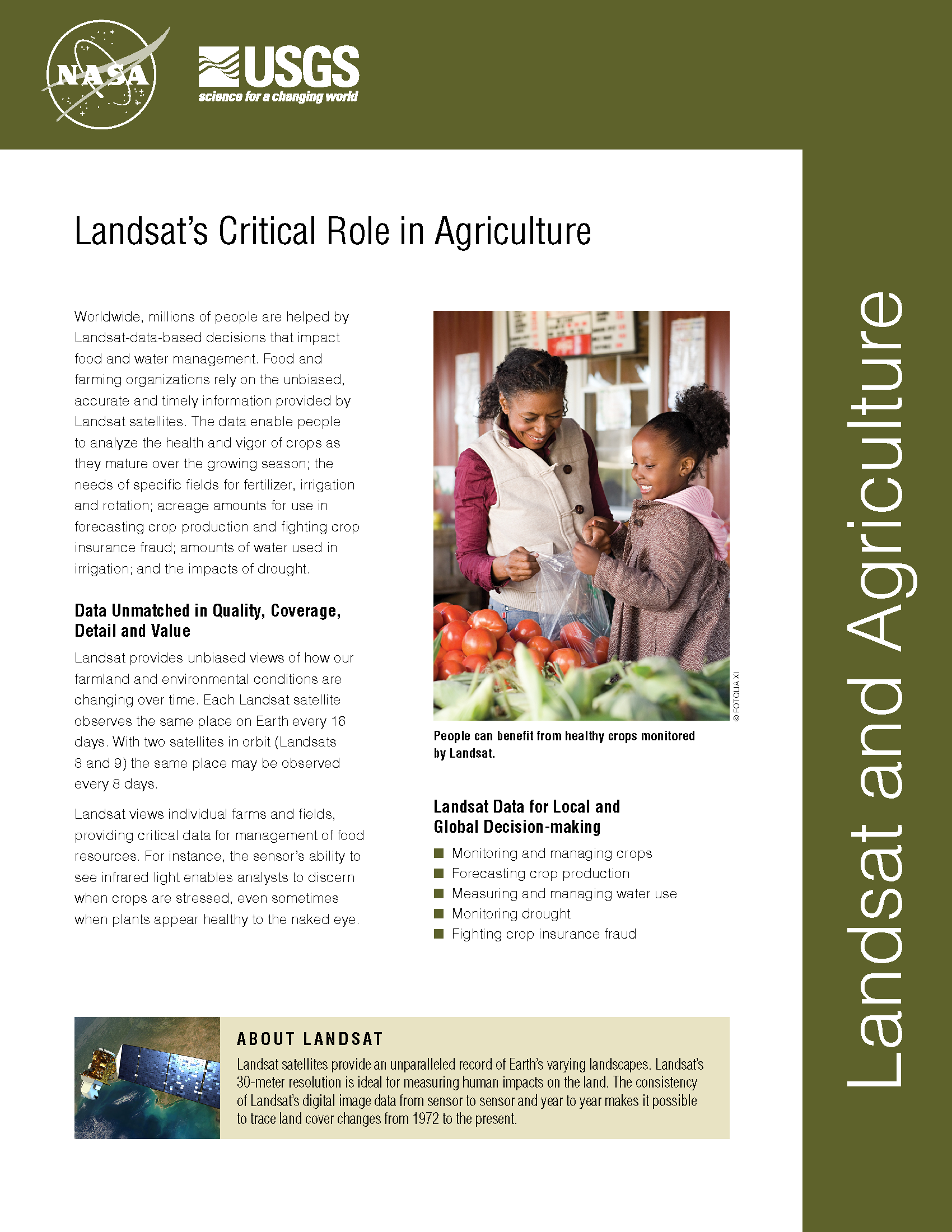
Worldwide, millions of people are helped by Landsat-data-based decisions that impact food and water management. Food and farming organizations rely on the unbiased, accurate and timely information provided by Landsat satellites. The data enable people to analyze the health and vigor of crops as they mature over the growing season; the needs of specific fields for fertilizer, irrigation and rotation; planted acreage to forecast crop production and fight crop insurance fraud; how much water is used in irrigation; and the impacts of drought.
Most New Farmland Comes from Cutting Tropical Forest
Source: Louis Bergeron, Stanford Report A new study led by a Stanford researcher shows that more than 80 percent of the new farmland created in the tropics between 1980 and 2000
Landsat Helps Assess Crop Water Productivity
Xueliang Cai and Landsat Science Team member, Prasad Thenkabail, have used satellite data, including Landsat, to calculate crop water productivity, i.e. how much water is used for crop production—the so
Water Watchers
Dean Stevenson has farmed the plains of south-central Idaho most of his forty-seven years. Like all farmers, he worries about things like the price of sugar beets and malt barley
How Wetlands and Rice Paddies Affect the Spread of Bird Flu
In the mid-1990s, highly pathogenic avian influenza (bird flu) emerged in southern China. Severe outbreaks in the winter of 2005-2006 spread the virus, designated H5N1, across Asia, Europe, and Africa,
Landsat Cultivates Fans Among Midwest Farmers
Contributor: Gretchen Cook-Anderson, NASA Earth Science News Team Noreen Thomas’ farm looks like a patchwork quilt. Fields change hue with the season and with the alternating plots of organic wheat, soybeans,
Landsat-Based Water-Use Mapping Method Hailed as an Important American Government Innovation
Contributor: Laura E.P. Rocchio Last night, Harvard University’s prestigious Ash Institute selected a Landsat-based water-use mapping method as a 2009 Innovations in American Government Award winner. “The 2009 Innovations finalists
