
Landsat's Role in Agriculture and Food Security
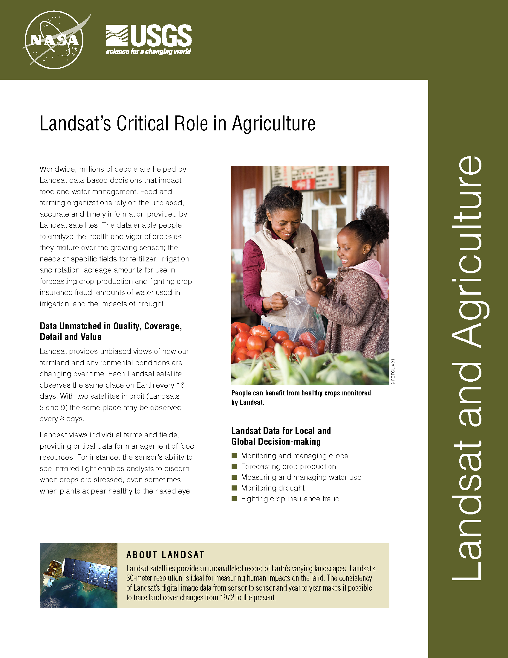
Worldwide, millions of people are helped by Landsat-data-based decisions that impact food and water management. Food and farming organizations rely on the unbiased, accurate and timely information provided by Landsat satellites. The data enable people to analyze the health and vigor of crops as they mature over the growing season; the needs of specific fields for fertilizer, irrigation and rotation; planted acreage to forecast crop production and fight crop insurance fraud; how much water is used in irrigation; and the impacts of drought.
Landsat Helps Stave Off Crop Insurance Fraud
This February with the help of Landsat a California farmer was found guilty of committing crop insurance fraud in San Joaquin, Contra Costa, and Lassen counties. The farmer was fined $10,000 dollars, ordered to pay $211,516 in restitution, and sentenced to serve two and a half years in prison.
Landsat Part of USDA's CropScape Geospatial Data Service
To provide easier access to geospatial satellite products, the U.S. Department of Agriculture’s National Agricultural Statistics Service (NASS) today announced the launch of CropScape, a new cropland exploring service. CropScape provides data users access to a variety of new resources and information, including the 2010 cropland data layer (CDL) just released in conjunction with CropScape.
Landsat Data Addresses Needs of California Growers
With the capability to provide valuable information about individual farm fields, vineyards, and orchards, NASA satellites soon will provide California growers in the San Joaquin Valley with important information about
Most New Farmland Comes from Cutting Tropical Forest
Source: Louis Bergeron, Stanford Report A new study led by a Stanford researcher shows that more than 80 percent of the new farmland created in the tropics between 1980 and 2000
Landsat Helps Assess Crop Water Productivity
Xueliang Cai and Landsat Science Team member, Prasad Thenkabail, have used satellite data, including Landsat, to calculate crop water productivity, i.e. how much water is used for crop production—the so
Water Watchers
Dean Stevenson has farmed the plains of south-central Idaho most of his forty-seven years. Like all farmers, he worries about things like the price of sugar beets and malt barley
