
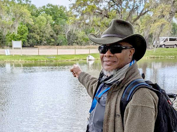
Robert Washington-Allen and the Next Frontier of Dryland Research
Washington-Allen is a longtime Landsat data user working towards drylands restoration and sustainability solutions.
NASA Harvest Video Celebrates 50 Years of Landsat
NASA Harvest gathered agricultural remote sensing experts to discuss how Landsat fundamentally transformed agricultural monitoring over the last half century.
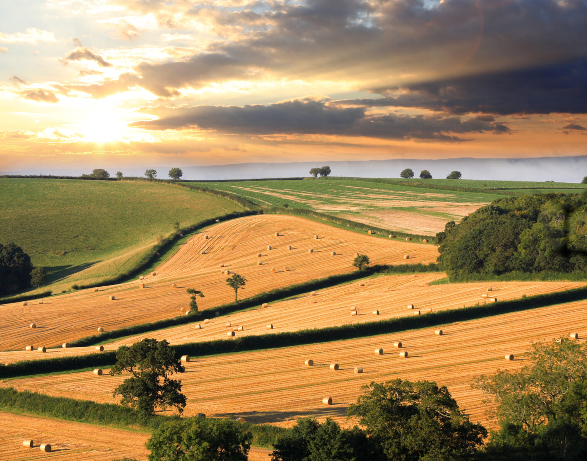
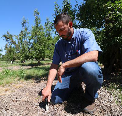
Space for Ag: How Satellites Aid Water and Food Security
Satellites offer a wealth of information pertinent for water and food security. Landsat has long been a foundational piece of the “Space for Ag” initiative.
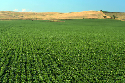
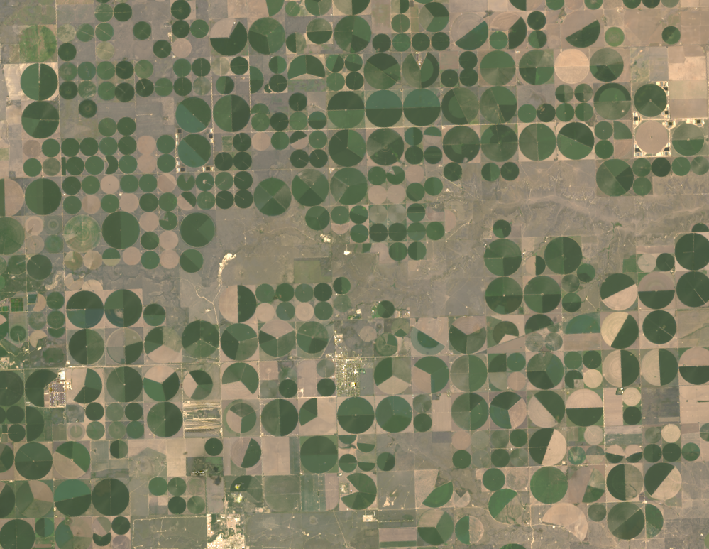
The View from Space Keeps Getting Better
After 50 years of Landsat, discovery of new commercial and scientific uses is only accelerating.
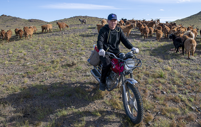
NASA “Steppes” onto the Runway to Make Mongolian Cashmere Sustainable
Landsat allows herders to monitor vast expanses of desert in a way traditional field monitoring can’t support.
Food Documentary Explores Satellites and the Future of Farming
BBC’s Follow the Food documentary series has reported on Earth observations supporting food production, market stability and on-farm decisions.