

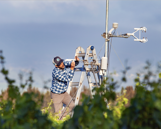
From Seeds to Satellites
NASA is partnering with farmers to deliver new technology, new tools and new data to help producers make decisions at every level, from the farm field to the state to the nation to the world.
Improving Crop Yield Predictions with Satellite Assist
New Michigan State University research found that incorporating in-season water deficit information into remote sensing-based crop models significantly improves corn yield predictions.
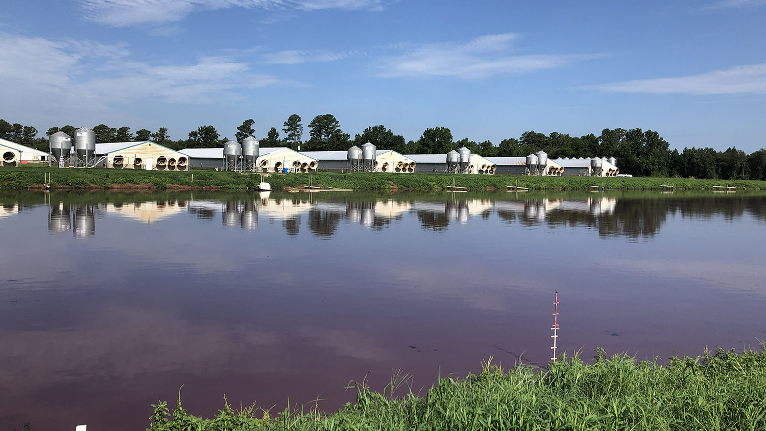
Tracking the Start of Swine Waste Lagoons with Landsat
Researchers at North Carolina State University have developed an automated technique that uses Landsat to determine when swine waste lagoons were constructed and how they may have affected environmental quality.
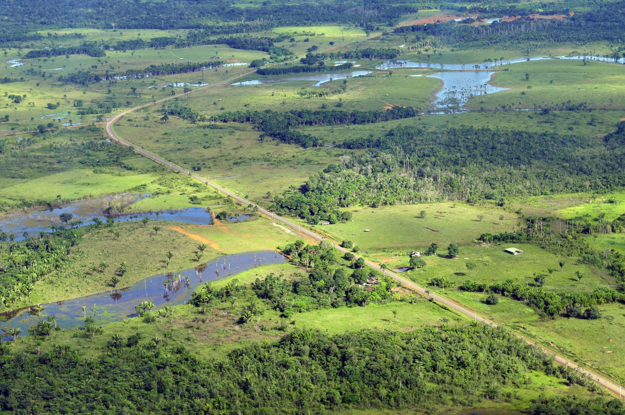
Reading the Landscape
More than 100 countries at the UN Climate Change Conference this past year made the bold commitment to halt and reverse deforestation by 2030.
OpenET: A Satellite-Based Water Data Resource
Data from Landsat powers OpenET, a new web-based platform that puts water use information for 17 western United States into the hands of farmers, water managers and conservation groups.

Bill Kustas: Advancing Water Research Drop by Drop
Kustas’ research informed the new OpenET app that uses Landsat thermal data as a key data input.