
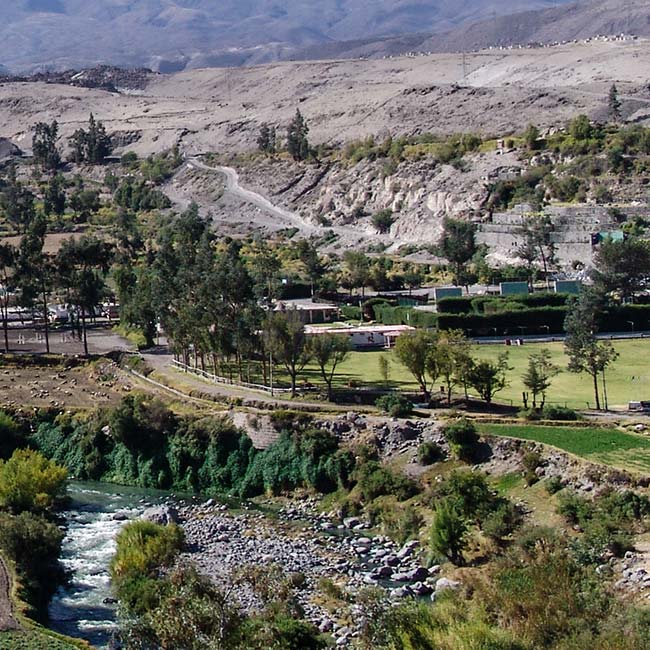
Arid-Region Agriculture in Arequipa, Peru
Landsat has helped map the expansion of intensive agriculture in arid Arequipa, Peru.
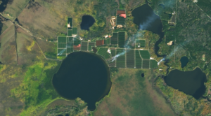
Satellites Track Status of Nation’s Food Supply
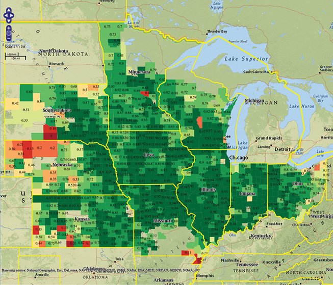
Farmers across the Midwest are in a race to finish harvesting their corn, soybean, and other staples of the Thanksgiving dinner table before the first crop killing freeze sets in.
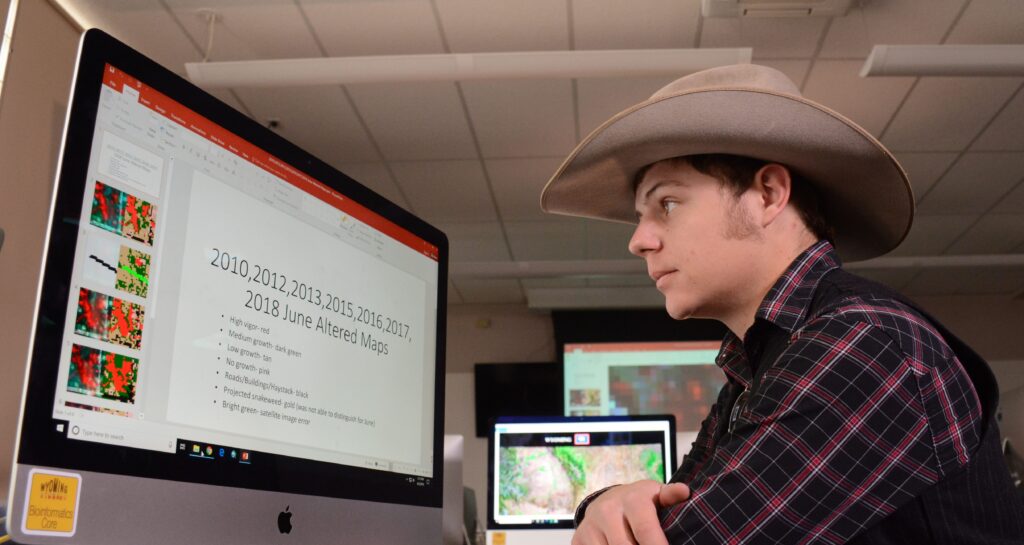
Landsat Images Help Wyoming Students Discern Problems on Family Lands
Wyoming students in the College of Agriculture and Natural Resources are using Landsat images to gauge and improve lands owned by their families.
How Looking for Clouds Helped Forecast Global Food Production
It started as an algorithm to detect clouds in satellite imagery, but now the software is being used for everything from increasing food security in the developing world to guiding futures trading on Wall Street.
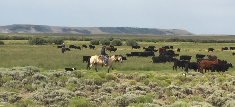
New Technologies for Range and Pasture Management
The Landsat-based Rangeland Analysis Platform and Green-Cast are valuable tools for ranchers adaptively managing their land.
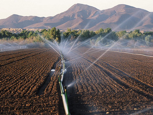
Mapping Water Use Nationwide With Landsat
USGS EROS scientists are leveraging the capability and history of Landsat along with weather data to map landscape-wide water consumption.