


Scenes from the Polar Night
Landsat satellites have begun regularly acquiring images of ice at the poles during the winter, with enlightening results.
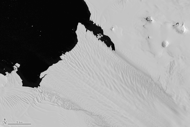
Antarctic History Revealed by Landsat
New research shows that while some Antarctic ice shelves have been thinning since at least the 1970s, widespread thinning accelerated in the 1990s.
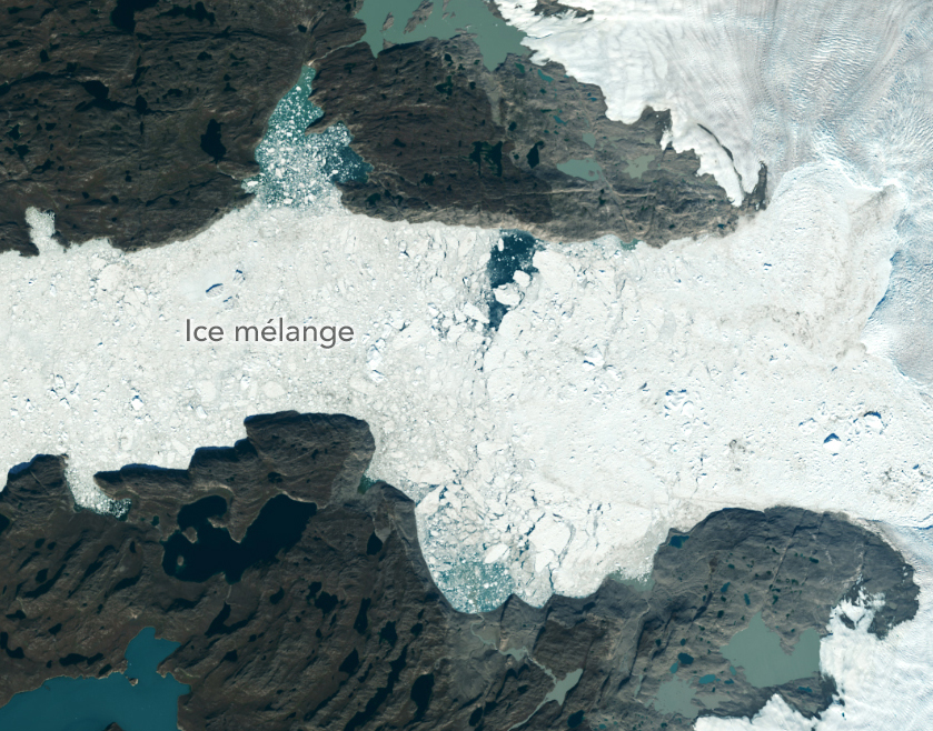
Satellites Show More Greenland Ice Lost Than Previously Estimated
A new, comprehensive analysis of satellite data finds that majority of glaciers on the landmass have retreated significantly.
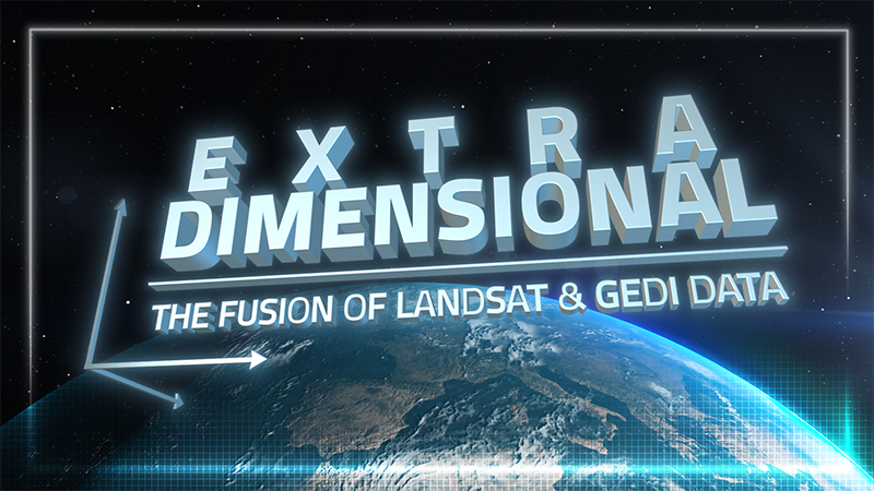
ExtraDimensional—The Fusion of Landsat & GEDI
When Landsat’s vast decades-long archive is combined with data from other instruments it can provide amazing insight into how our world is evolving with us and around us. Here are some of the ways Landsat and GEDI data are being harnessed to help us better understand the complex relationship between humanity and nature.

Join the Pale Blue Dot Visualization Challenge and Be Part of a Brighter Future
The Pale Blue Dot Visualization Challenge—aimed at making Earth observation data accessible to everyone—has officially kicked off.
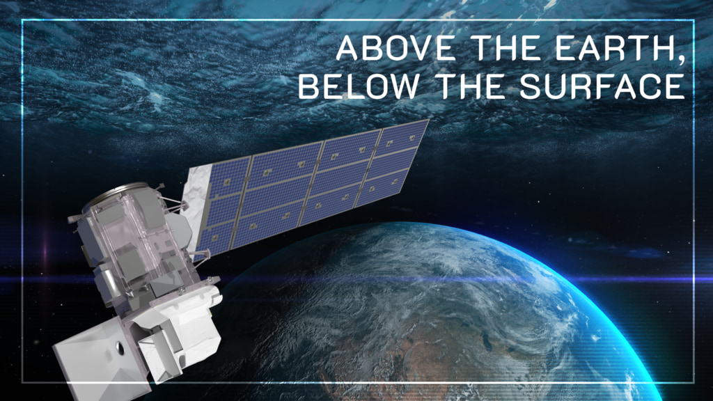
Above the Earth, Below the Surface: Landsat’s Role in Monitoring Water Quality
Safeguarding freshwater resources is crucial, and while scientists use a variety of ground-based techniques to gauge water quality, the Landsat program has provided water quality data from orbit for decades.
