

Avalanches Becoming More Frequent and Powerful in Alaska, Landsat Shows
As global temperatures rise, melting permafrost is expected to cause more frequent and hazardous landslides.
Calculating Forest Biomass Using LiDAR, Landsat 8, and Sentinel-2
SDSU post-doc Pedro Oliveira is integrating remote sensing data from airborne LiDAR and Landsat 8 and Sentinel-2 satellites to map the height of the Brazilian Amazon forest canopy.
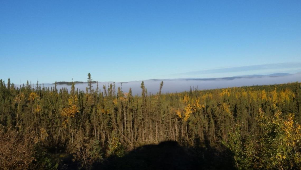
New Study Provides the First Comprehensive, Long-term Look at Alaska’s Changing Ecosystems
This is the first study to document more than three decades of land and water changes across Alaska.
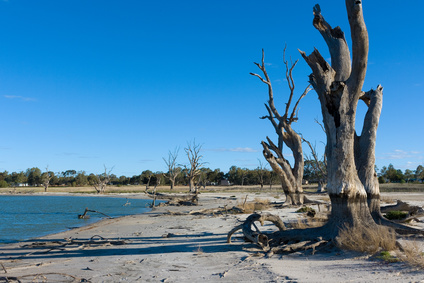
Rain Showers, Flowers, and Floods—Understanding How Vegetation Responds to Flooding and Drought in Australia’s Breadbasket
Using a quarter century of Landsat data, geospatial researchers have mapped and modeled how vegetation responds to water availability across the entire Murray-Darling Basin.
Supraglacial Lakes Are Not Destabilizing Greenland’s Ice Sheets, Yet
Using Landsat 8 satellite images from 2014 to 2016, researchers have discerned when the lakes on Greenland’s Petermann ice tongue formed, their movement, and changes in surface extent across time.
Recent Russian Arctic Glacier Loss Doubles From the Previous 60 Years
Geophysicists examining glacier changes in the Russian Arctic have found that the rate of ice mass loss has nearly doubled over the last decade when compared to records from the previous 60 years.
