
Landsat's Role in Responding to Disasters
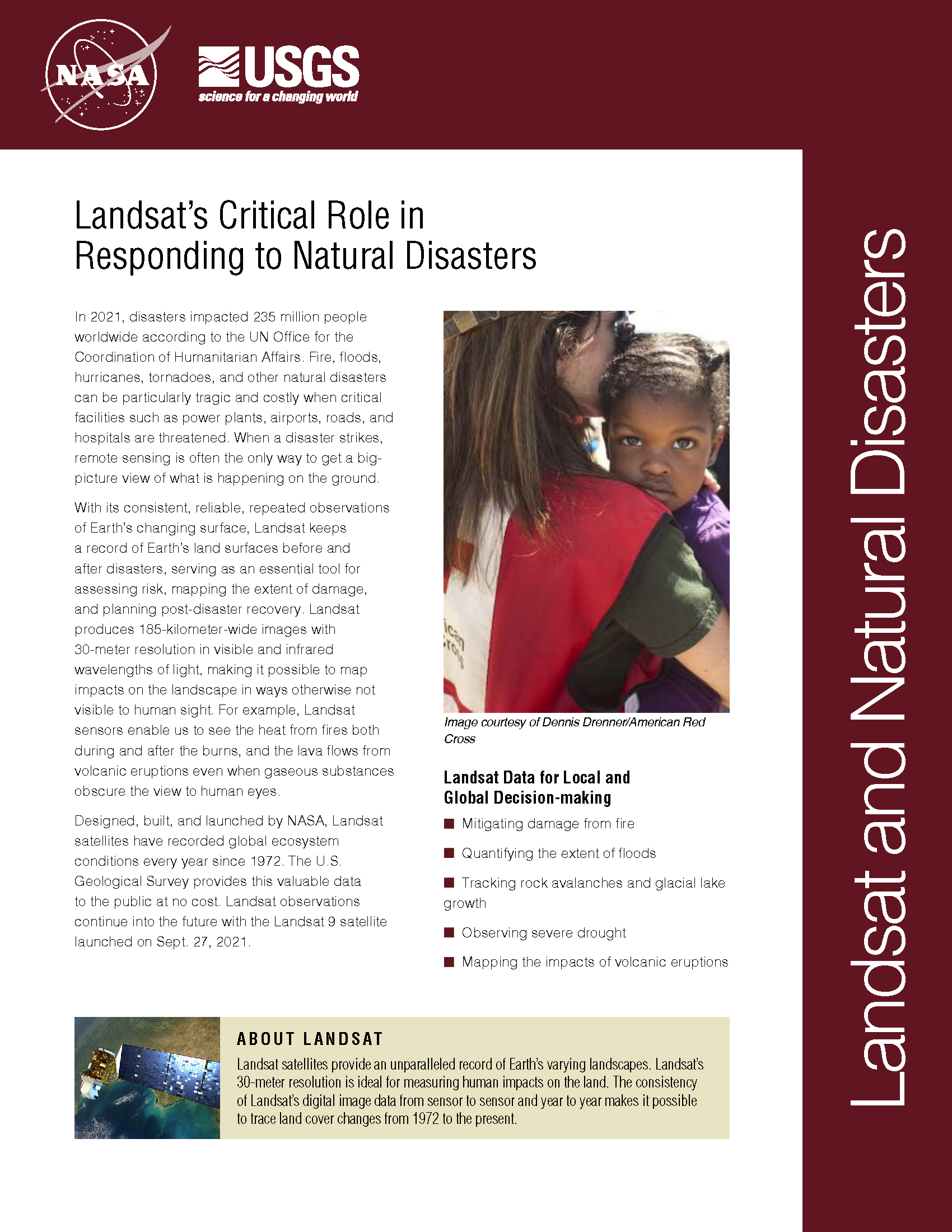
In 2022, the Emergency Events Database (EM-DAT) reported 387 natural hazards and disasters worldwide, resulting in the loss of over 30,000 lives and affecting more than 185 million individuals. Economic losses totaled around US$223.8 billion. Fires, floods, heat waves, drought, hurricanes, tornadoes, and other natural disasters can be particularly tragic and costly when critical facilities such as power plants, airports, roads, and hospitals are threatened. When a disaster strikes, remote sensing is often the only way to get a big-picture view of what is happening on the ground. With its consistent, reliable, repeated observations of Earth’s changing surface, Landsat keeps a record of Earth’s land surfaces before and after disasters, serving as an essential tool for assessing risk, mapping the extent of damage, and planning post-disaster recovery. Landsat produces 185-kilometer-wide images with 30-meter resolution in visible and infrared wavelengths of light, making it possible to map impacts on the landscape in ways otherwise not visible to human sight. For example, Landsat sensors enable us to see the heat from fires both during and after the burns, and the lava flows from volcanic eruptions even when gaseous substances obscure the view to human eyes.
Scientist-Volunteers Map Landslides from Nepal Quakes
As millions of people regroup from earthquakes in Nepal, a team of international volunteers is combing through satellite imagery of the region to identify additional hazards: earthquake-induced landslides. “Landslides are a common secondary hazard triggered by earthquakes or rainfall,” said Dalia Kirschbaum, a remote sensing scientist at NASA’s Goddard Space Flight Center and a leader of a landslide mapping effort. “Because landslides can mobilize and move so quickly, they often cause more damage than people realize.”
Landsat Images Provided to the International Charter in May 2015
The International Charter is a system that supplies free satellite imagery to emergency responders anywhere in the world.
Gorkha Quake-Induced Chongsecun Landslide and Lake (Tibet)
The Chongsecun landslide was found by a Canadian government scientist (Ministry of Forests, Lands and Natural Resource Operations Canada) scrutinizing post- and pre-quake Landsat 8 images.
Landsat Shows New Hazards Arising in Manaslu/Langtang Region of Nepal
The April 25, 2015, magnitude 7.8 Gorkha earthquake in Nepal triggered devastating landslides in Langtang Valley. Ice, snow and debris avalanches, rockfalls and landslides also occurred widely in other areas of the Nepal Himalaya. Landsat 8 satellite imagery shows that a landslide is also damming a river and resulting in the formation of a lake in the Manaslu trekking region of Nepal.
Landsat 8 Reveals Extent of Quake Disaster in Nepal’s Langtang Valley
The magnitude 7.8 Gorkha earthquake that struck Nepal on April 25, 2015, caused extensive damage in Kathmandu Valley and severely affected Nepal’s rural areas. Space agencies around the world are providing extensive resources in a huge international effort. They are tasking their satellites to observe the areas hit by the earthquake. This effort began immediately after the disaster.
Landsat Images Provided to the International Charter in April 2015
This month, 53 Landsat scenes were ingested by the USGS Hazard Data Distribution System to provide data for Charter activations.
