

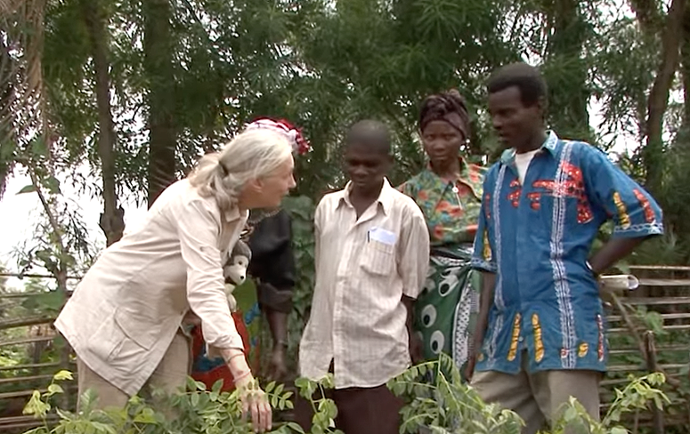
Satellite Data Helps Jane Goodall Protect Chimpanzee Habitats (Video Trailer)
The Jane Goodall Institute (JGI) uses satellite observations, including data from the NASA and USGS Landsat satellite series, in their efforts to work in partnership with local residents to understand and protect chimpanzee habitats.
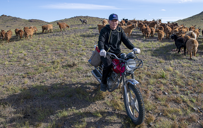
NASA “Steppes” onto the Runway to Make Mongolian Cashmere Sustainable
Landsat allows herders to monitor vast expanses of desert in a way traditional field monitoring can’t support.

Landsat Reveals Dramatic Loss of Global Wetlands Over Past Two Decades
An analysis of over a million Landsat images has revealed that 4,000 square kilometres of tidal wetlands have been lost globally over twenty years.
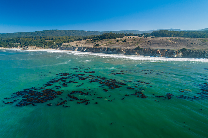
World’s Largest Dynamic Kelp Map Launched
The Landsat-informed kelpwatch.org hosts the world’s largest open-source dynamic map of kelp forest canopy.

Shifting Shores of the Australian Continent Mapped with Landsat
Using decades of Landsat satellite imagery, scientists at Geoscience Australia have mapped annual shoreline locations for the entirety of Australia going back more than thirty years.
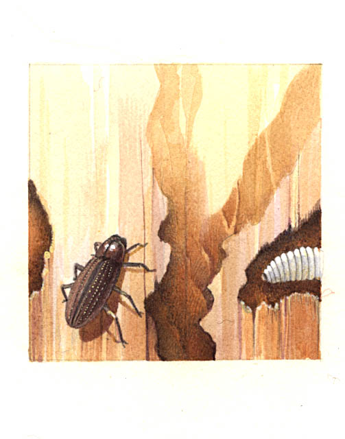
Diagnosis from the Sky: Catching Insect Infestations within Forests Before It’s Too Late
Fine-tuning remote sensing to protect forests from the spread of dangerous critters.
