Landsat’s Role in Managing Ecosystems and Biodiversity
Our world is made of complex networks of living things and physical elements that constantly interact and affect each other. Such networks are known as “ecosystems.” Healthy and economically important ecosystems such as temperate forests, wetlands, grasslands, coastal zones, coral reefs, and rainforests all play roles in human life. For example, farm and rangeland ecosystems must be healthy to produce the grains and livestock on which we depend as a nation. Marine ecosystems depend on the health of land ecosystems, because coastal areas provide habitat needed to support the productivity and diversity of aquatic organisms. Landsat has brought valuable capabilities to ecosystem studies. Landsat instruments measure reflected light in visible and infrared wavelengths. Because plants reflect little visible light and a lot of infrared light when they are healthy, the measurement of both types of light simultaneously gives scientists a way to assess plant health and density over a landscape. Measurements are detailed enough while still covering a wide area that ecologists can expand their interpretations of local events and processes, such as an insect infestation in a specific forest, to a regional scale. This helps them to gauge the health of larger ecosystems. Because Landsat data are accurately mapped to reference points on the ground and adjusted for topographic relief, they can be integrated with other geographic data sets and models to explore more complex studies of ecosystems and biodiversity across space and time.
![More than 350 species of birds are counted on the Pacific Flyway every year](https://landsat.gsfc.nasa.gov/wp-content/uploads/2020/11/MigratingBirds.png)
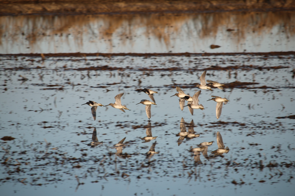
Earth Observations are for the Birds
Earth observations and citizen science are informing a program called BirdReturns to help restore lost natural wetlands.
![When the National Petroleum Reserve in Alaska warms up during summer](https://landsat.gsfc.nasa.gov/wp-content/uploads/2020/10/npr-a_helicopter_0.png)
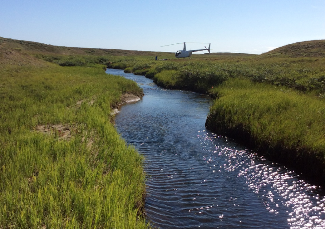
Satellite Data Meets Cellular DNA for Species of Interest
Scientists are combining data from water samples containing fish DNA with satellite data to find native fish and identify their habitats.
![When Arctic tundra greens, undergoing increased plant growth, it can impact wildlife species including reindeer and caribou.](https://landsat.gsfc.nasa.gov/wp-content/uploads/2020/09/fennoscandia2.jpg)
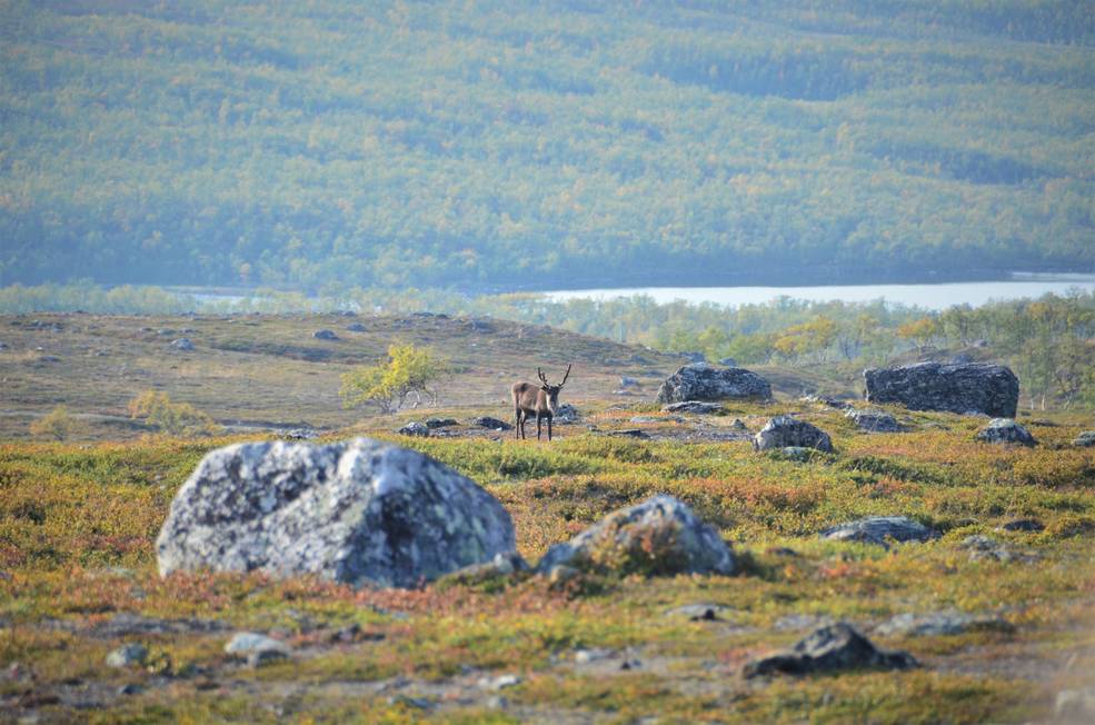
Warming Temperatures are Driving Arctic Greening
Using satellite images to track global tundra ecosystems over decades, a new study found the region has become greener, as warmer air and soil temperatures lead to increased plant growth.
![A forest in Banff, Canada](https://landsat.gsfc.nasa.gov/wp-content/uploads/2020/09/Canada-Banff-KaiVogel.png)
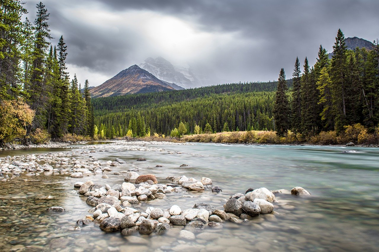
The Stuff of Trees: Three-Decades of Forest Biomass Measured Across Canada
A new study reports a net increase of 5.38 petagrams of forest biomass between 1984 and 2016; carbon-wise, that is equivalent to a train of loaded coal cars long enough to wrap itself around Earth nearly 34 times.
![ECOSTRESS land surface temperature variations](https://landsat.gsfc.nasa.gov/wp-content/uploads/2020/09/ecostress_lst_milpitasca_22may2020.jpg)
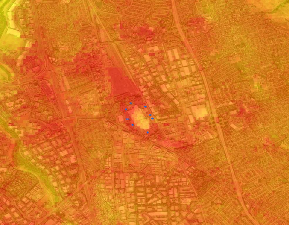
Landsat Data Informs New Projects Exploring Connections Between the Environment and COVID-19
Satellite images are helping to reveal how COVID-19 lockdown measures are impacting food security, urban surface heat, water quality and aquatic ecosystems, and more in NASA-funded studies.
![A tropical forest in Colombia.](https://landsat.gsfc.nasa.gov/wp-content/uploads/2020/08/ColombianTropicalForest.jpg)
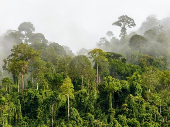
Pinpointing Tropical Forests with High Ecological ‘Quality’
Landsat and ICESat-2 satellite data have made it possible for scientists to develop maps showing the “quality” of tropical forests.