
Landsat’s Role in Supporting Urban Planning
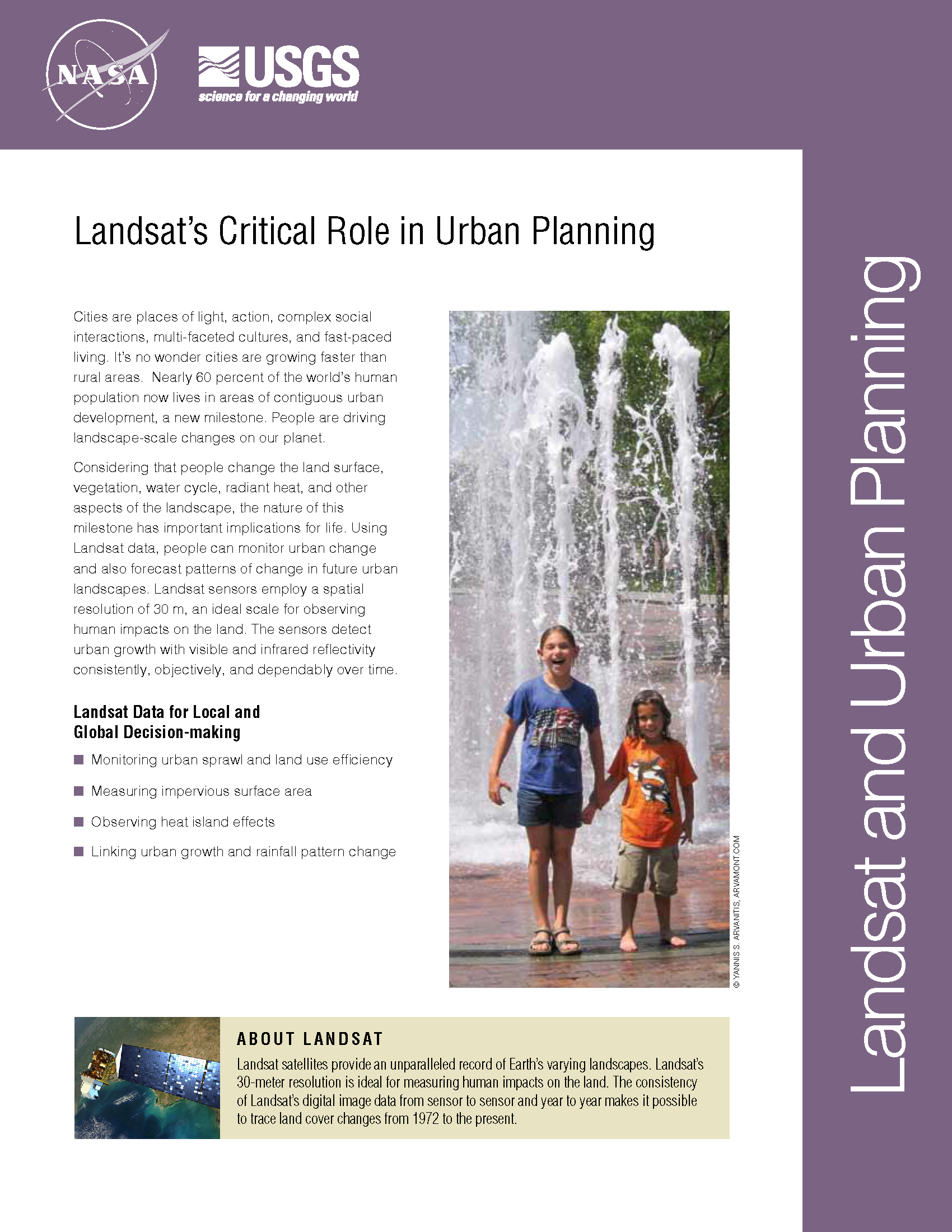
Cities are places of light, action, complex social interactions, multi-faceted cultures, and fast-paced living. It’s no wonder cities are growing faster than rural areas. Earth experienced a milestone in the history of urban landscapes in 2008-09. More than 50 percent of the world’s human population now lives in areas of contiguous urban development. People are driving landscape-scale changes on our planet. Considering that people change the land surface, vegetation, water cycle, radiant heat, and other aspects of the landscape, the nature of this milestone has important implications for life. Using Landsat data, people can monitor urban change and also forecast patterns of change in future urban landscapes. Landsat sensors employ a spatial resolution of 30 m, an ideal scale for observing human impacts on the land. The sensors detect urban growth with visible and infrared reflectivity consistently, objectively, and dependably over time.
Deforestation Driven by 21st Century Urbanites
• A recently published Nature Geoscience article by Ruth DeFries et al. reveals that urban pressures (for food and resources) have replaced subsistence farmers as the leading driver of tropical deforestation this
Landsat Images Offer Clearer Picture of Changes in Chesapeake Watershed
• Images taken from satellites more than 400 miles above the Earth’s surface are bringing land-cover changes throughout the Chesapeake Bay watershed into tighter focus. The images, which capture tracts
Landsat Looks at Land Use Trends Around Mobile Bay
• A recent NASA Technical Report from Stennis Space Center has used Landsat data to document land use changes in Alabama’s Mobile Bay watershed between 1972 and 2008. Over those
Diversity and Biomass of Tropical Forests Cleared for Land Development
• To learn more about the tropical forests that are cleared when urban and residential development spreads, scientists assembled the most comprehensive time series of land cover maps to date
Landsat’s Role in Chesapeake Bay Management
• John Smith’s Bay Then & Now – When Captain John Smith first explored the Chesapeake Bay in 1607, the “Great Shellfish Bay,” as it was called by the Algonquian
Landsat Links Urban Growth and Rainfall Pattern Change
For the first time, scientists have used satellite images to demonstrate a link between rapid city growth and rainfall patterns, as well as to assess compliance with an international treaty
