
Landsat’s Role in Supporting Urban Planning
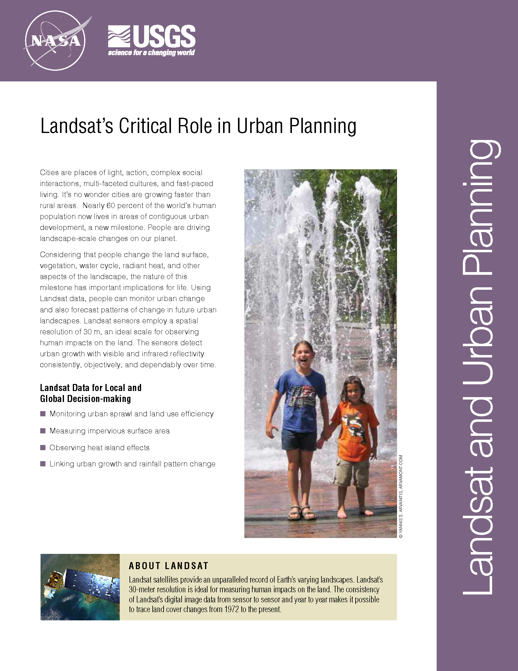
Cities are places of light, action, complex social interactions, multi-faceted cultures, and fast-paced living. It’s no wonder cities are growing faster than rural areas. Earth experienced a milestone in the history of urban landscapes in 2008-09. More than 50 percent of the world’s human population now lives in areas of contiguous urban development. People are driving landscape-scale changes on our planet. Considering that people change the land surface, vegetation, water cycle, radiant heat, and other aspects of the landscape, the nature of this milestone has important implications for life. Using Landsat data, people can monitor urban change and also forecast patterns of change in future urban landscapes. Landsat sensors employ a spatial resolution of 30 m, an ideal scale for observing human impacts on the land. The sensors detect urban growth with visible and infrared reflectivity consistently, objectively, and dependably over time.
Springtime on an Urban Heat Island
How the urban heat island of Boston affects the growing season of vegetation in and around the city.
Mapping Cities Worldwide
We know very little about cities worldwide. In many instances we have little idea about the use and morphology of cities.
Urbanization Affects Air and Water in Italy's Po Plain
In a recent Eos Project Update, a group of researchers from Italy and NASA’s Jet Propulsion Lab shared the results of their large Po Plain Experiment (POPLEX).
USGS Maps Anthropogenic Land Use Trends, 1974–2012
More and more we hear the term “anthropocene” used to describe the current epoch of our planet when humankind has had a profound impact on Earth. This month, the U.S. Geological Survey has released a Landsat-based report and dataset on anthropogenic land use trends in the U.S. between 1974 and 2012.
Vegetation Essential for Limiting City Warming Effects
Cities are well known hot spots – literally. The urban heat island effect has long been observed to raise the temperature of big cities by 1 to 3°C (1.8 to 5.4°F), a rise that is due to the presence of asphalt, concrete, buildings, and other so-called impervious surfaces disrupting the natural cooling effect provided by vegetation. According to a new NASA study that makes the first assessment of urbanization impacts for the entire continental United States, the presence of vegetation is an essential factor in limiting urban heating.
ProPublica Welcomes Readers to Las Vegas with Landsat
ProPublica has put together an interactive graphic called Welcome to Las Vegas*” that uses 40 years worth of Landsat data, together with a graphic representation of the city’s changing skyline and its water use statistics.
