

From Orbit to A.I.—Harnessing Machine Learning with Landsat Data
Over the past few years, machine learning techniques have been increasingly used to analyze the vast amount of data collected by the Landsat mission, which has been circling the globe for over 50 years.
Study Finds Increased Urban Greenery Could Save Lives
A new analysis found that between 34,000-38,000 could have been reduced with local increases in green vegetation in US metropolitan areas from 2000-2019.
Finding Ways to Turn Down the Heat in Cities with Satellites
Rooftop gardens and greenery can help ease some of the severe heat in cities, according to research from climate scientists at NASA’s Goddard Institute for Space Studies (GISS) in New York.
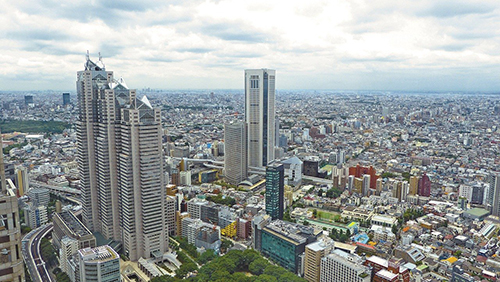
Mapping Our Human Footprint from Space
The World Settlement Footprint is the world’s most comprehensive dataset on human settlement.

Landsat Helps Urban Planners Find Disparities in Access to Green Spaces
Study of two metro areas finds where parks, trees and other green spaces are located.
Understanding the Ecological and Environmental Impacts of Urbanization
Landsat-based urban extent and phenology indicators provide new information about urban environments.
