

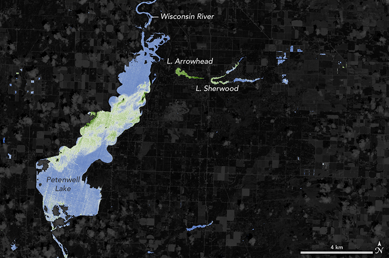
NASA Helps Warn of Harmful Algal Blooms in Lakes, Reservoirs
With limited resources to dedicate to monitoring for harmful algal blooms, water managers are looking to new technologies from NASA and its partners to detect and monitor potential hazards in lakes and reservoirs.
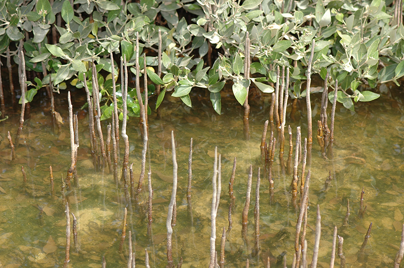
The Curious Case of Missing Mangroves in the Jubail Conservation
A group of researchers have used Landsat data to help solve a case of missing mangroves in Saudi Arabia’s Jubail Conservation.
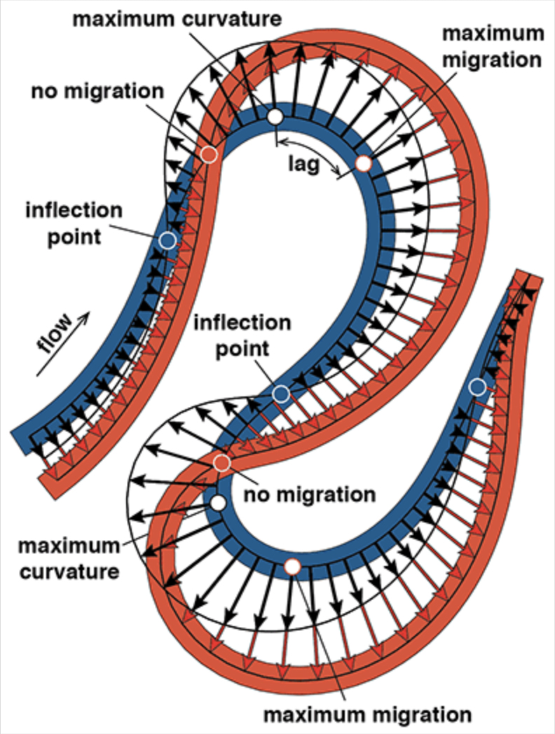
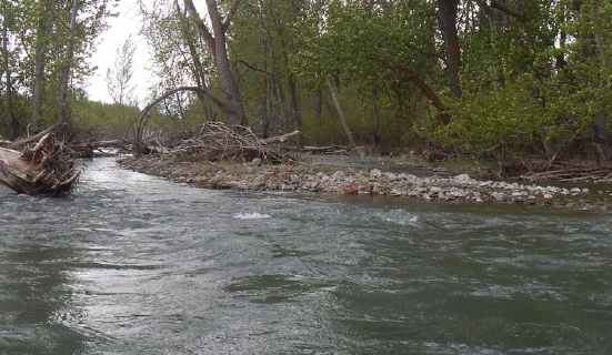
Sharp Bends Make Rivers Meander, As Landsat Attests
Turns out, the rate of river migration is directly linked to how sharp its bends are.
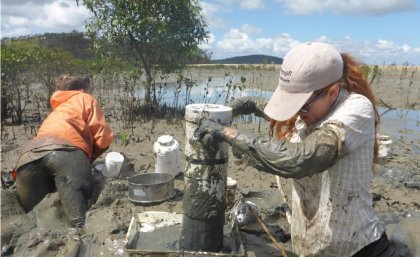
Loss of Intertidal Ecosystem Exposes Coastal Communities
The study used machine-learning to analyze more than 700,000 Landsat images to map changing global distribution of intertidal areas over a 30-year period.
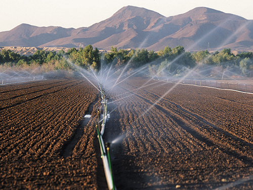
Mapping Water Use Nationwide With Landsat
USGS EROS scientists are leveraging the capability and history of Landsat along with weather data to map landscape-wide water consumption.
How Landsat Helps Alert Communities to Local Flood Hazards
For larger rivers, Landsat provides a rich dataset to define spatiotemporal patterns of channel shifting.
