Landsat’s Role in Managing Water Resources
Water is essential for life. A third of Earth’s populace has unreliable access to clean water. With current population growth and environmental trends, the U.N. Environmental Program estimates that 1.8 billion people will face water scarcity by 2025. Water means survival for people and other species we rely upon to thrive, making proper stewardship of our water resources vital. Good decisions require good data. Since 1972 the Landsat series of satellites has been providing such data. Landsat-based decisions on how to manage limited water resources have impacted millions of people worldwide. From finding water for refugees in arid nations to reducing pollution in our national waterways, Landsat enables decisions that directly help people.
![Landsat-derived annual irrigation maps](https://landsat.gsfc.nasa.gov/wp-content/uploads/2022/01/20181212_nu4.png)
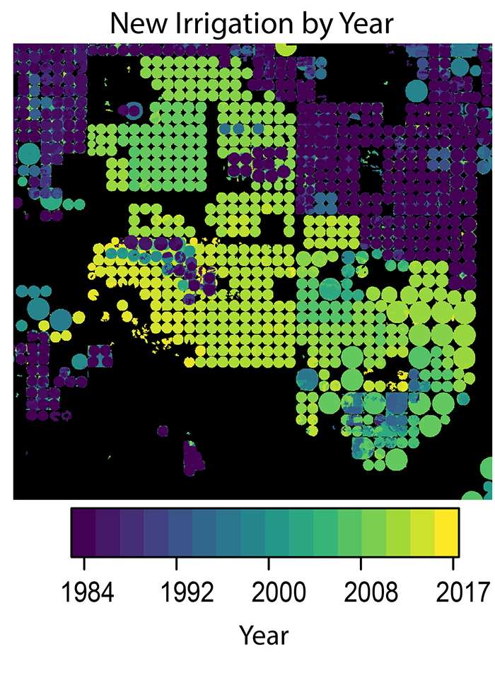
The Shifting Irrigation Patterns of the U.S. High Plains Aquifer
A new method to use the full Landsat archive to produce annual maps of irrigated area over the High Plains Aquifer in the central United States.
![Secchi disk](https://landsat.gsfc.nasa.gov/wp-content/uploads/2018/12/20181212_nu1-1.jpg)
Retrieving Secchi Depth with Landsat 8
Landsat 8 allows for the acquisition of spectral data for monitoring water quality from lakes and drinking water reservoirs across the United States.
![A fisherman casts his net at sunset on the Brahmaputra River.](https://landsat.gsfc.nasa.gov/wp-content/uploads/2018/12/20181211_n12-1.png)
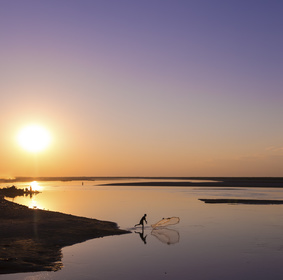
Watching River Islands Grow on the Brahmaputra
Stable river islands locally known as ‘chars’ are increasing in the Brahmaputra river.
![Salt marsh on Toms Cove on Assateague Island, overlooking the Coast Guard Station and boathouse.](https://landsat.gsfc.nasa.gov/wp-content/uploads/2018/12/20181211_nu5-1.png)
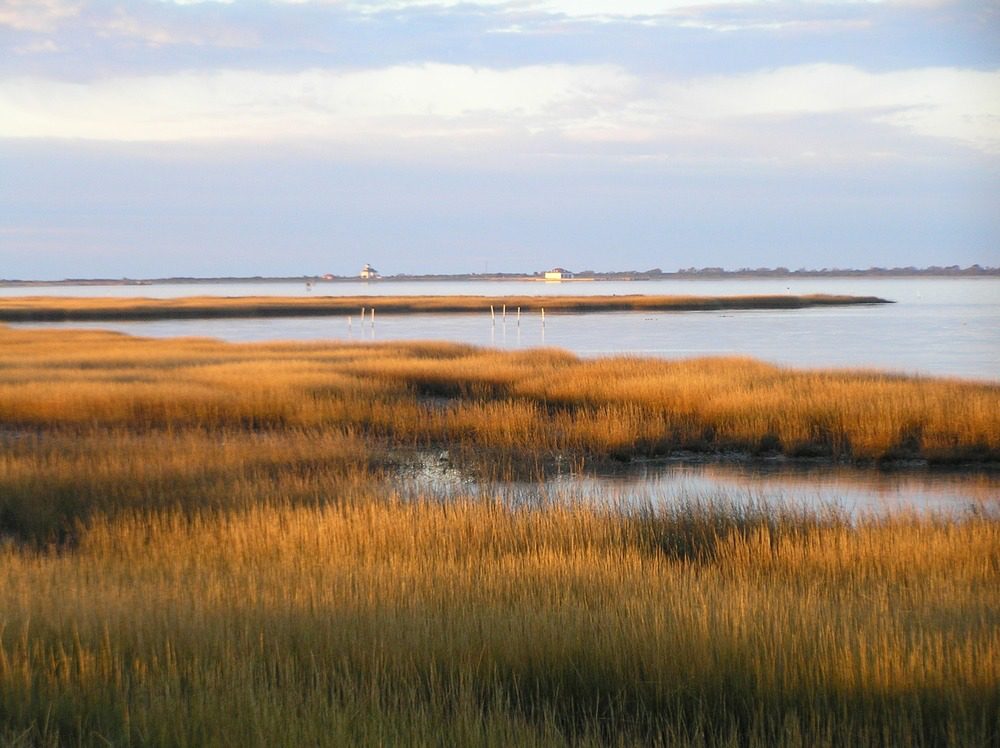
Mapping Long-term Salt Marsh Change with Landsat
This research identified the Delmarva as an area of significant salt marsh loss over the last three decades.
![Tile drainage installation images](https://landsat.gsfc.nasa.gov/wp-content/uploads/2022/01/20181211_nu2.png)
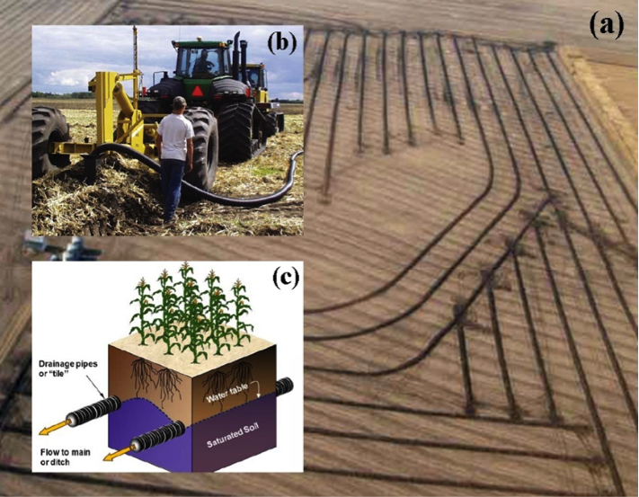
Improving Water Resource Management in the Great Plains
Making annual high-resolution agricultural subsurface drainage maps for the Northern Great Plains regions using multiple satellite and model datasets with Google Earth Engine.
![Oyster reef at water's edge along the Gulf of Mexico](https://landsat.gsfc.nasa.gov/wp-content/uploads/2018/12/20181210_nu4-1.png)
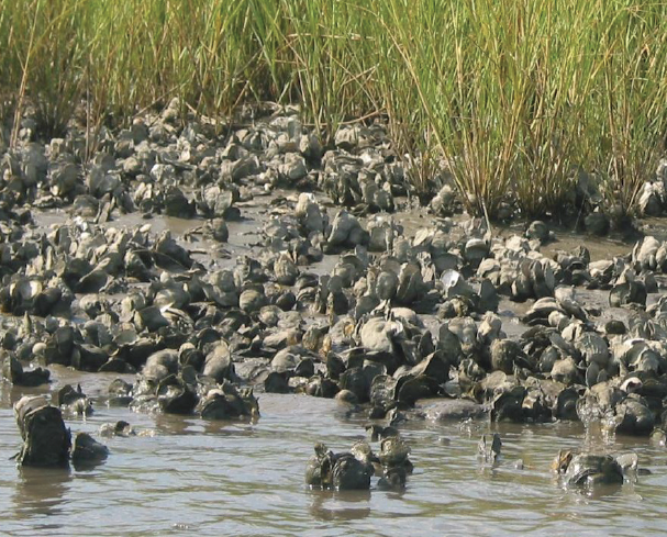
Investigating the Ecosystem Services Provided by Oysters
There is evidence of oyster reefs driving estuary-scale detention of freshwater in the Suwannee Sound.