

Landsat 8 as a Tool for Monitoring Algal Blooms
When algae blanket a lake’s surface, loss of sunlight and—eventually—oxygen, smothers aquatic life.
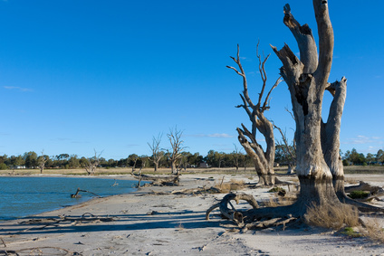
Rain Showers, Flowers, and Floods—Understanding How Vegetation Responds to Flooding and Drought in Australia’s Breadbasket
Using a quarter century of Landsat data, geospatial researchers have mapped and modeled how vegetation responds to water availability across the entire Murray-Darling Basin.
Supraglacial Lakes Are Not Destabilizing Greenland’s Ice Sheets, Yet
Using Landsat 8 satellite images from 2014 to 2016, researchers have discerned when the lakes on Greenland’s Petermann ice tongue formed, their movement, and changes in surface extent across time.
Satellites Reveal Major Shifts in Global Freshwater
Earth’s wet land areas are getting wetter and dry areas are getting drier due to a variety of factors, including human water management, climate change and natural cycles.
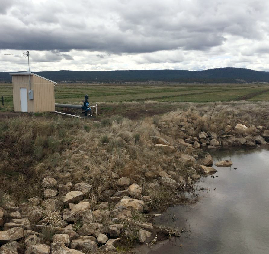
Solving the Riddle of Water Use in the Upper Klamath Basin
When it comes to water, when does less really mean more?
Recent Russian Arctic Glacier Loss Doubles From the Previous 60 Years
Geophysicists examining glacier changes in the Russian Arctic have found that the rate of ice mass loss has nearly doubled over the last decade when compared to records from the previous 60 years.
