

Thirsting for Equitable Water Distribution, Australia Turns to Landsat
Since record keeping began in 1860, no period has been drier for southeastern Australia than the decade-long Millennium Drought. The lack of rain between 1997 and 2009 led to livestock losses, crop failures, and percentage drops in the Australian GDP.
Landsat Helps Feed Tired And Hungry Birds
The BirdReturns program, created by The Nature Conservancy of California, is an effort to provide “pop-up habitats” for some of the millions of shorebirds, such as sandpipers and plovers, that migrate each year from their summer breeding grounds in Alaska and Canada to their winter habitats in California, Mexico, Central and South America.
A Real-Life Bay Watch: NASA Helps Monitor LA Coastline
When a Los Angeles water treatment plant had to discharge treated water closer to shore than usual in the fall of 2015 due to repair work, NASA satellite observations helped scientists from the City of Los Angeles and local research institutions monitor the Santa Monica Bay for any impacts. For the city, it was an opportunity to assess the use of satellites in guiding a substantial monitoring effort. For NASA, it was an opportunity to refine the use of satellite assets to study a coastal environment.
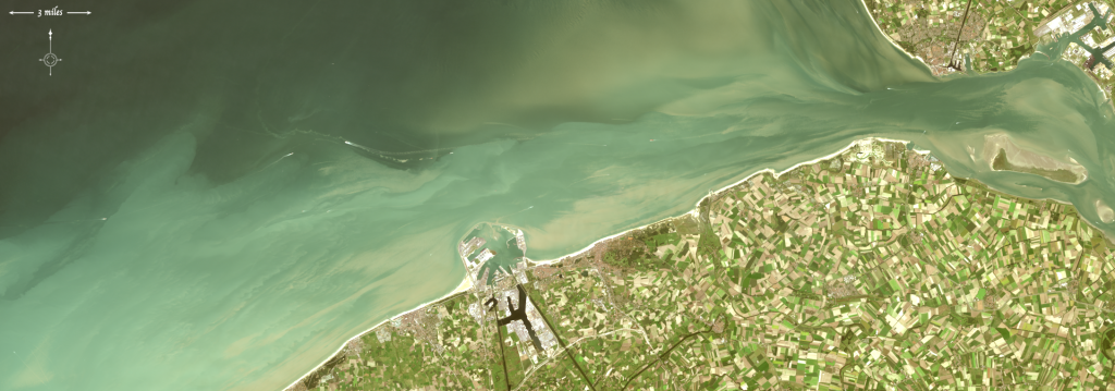
Landsat 8 Used to Pinpoint Shipwrecks
Nearshore shipwrecks can leave telltale sediment plumes at the sea’s surface that reveal their location. Using Landsat 8 data, researchers have detected plumes extending as far as 4 kilometers (~2.5 miles) downstream from shallow shipwreck sites. This discovery demonstrates that Landsat and Landsat-like satellites can be used to locate the watery graves of coastal shipwrecks.
Satellite Images are Source for First-of-its-Kind Charts of Alaska's Yukon River
NOAA’s Office of Coast Survey has issued provisional charts for barge operators and others traversing Alaska’s challenging Yukon River.
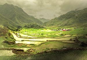
Future Grains
When global food prices spiked dramatically in late 2007 and into 2008, the costs of many basic dietary staples doubled or even tripled around the world, sparking protests and riots. Panicked governments stopped exporting food, aggravating the crisis.
