Landsat’s Role in Managing Water Resources
Water is essential for life. A third of Earth’s populace has unreliable access to clean water. With current population growth and environmental trends, the U.N. Environmental Program estimates that 1.8 billion people will face water scarcity by 2025. Water means survival for people and other species we rely upon to thrive, making proper stewardship of our water resources vital. Good decisions require good data. Since 1972 the Landsat series of satellites has been providing such data. Landsat-based decisions on how to manage limited water resources have impacted millions of people worldwide. From finding water for refugees in arid nations to reducing pollution in our national waterways, Landsat enables decisions that directly help people.
A Glacierized Volcano in Peru & El Niño
How the El Niño Southern Oscillation impacts snow cover of a glacierized volcano in Peru.
A Bounty of New Lakes on the Tibetan Plateau
The number of lakes and water surface area on the Tibetan Plateau has changed much faster than expected.
Mapping Historic Floods Around the World
Developing the largest database of spatial extents for historic floods.
![A canal structure in the Palo Verde Irrigation District](https://landsat.gsfc.nasa.gov/wp-content/uploads/2016/12/AGU2016_Gabriel-Senay.2-1.png)
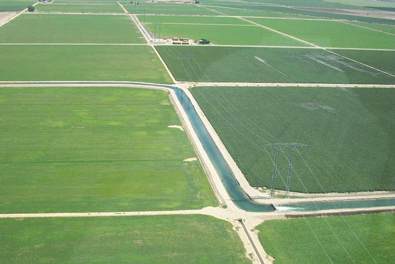
Watching Water Use in the Southwest
Water use trends observed in the Southwestern U.S. over three decades.
Landsat Maps Global Surface Water
Quantifying changes in global surface waters over the past 32 years.
Tracking Surface Water Changes Over the Past 30 Years
The world has gained 115,000 km2 of water and 173,000 km2 of land over the past 30 years.