
Presentation Title
El Niño Southern Oscillation controls snow cover on Nevado Coropuna: measurements using Landsat satellites
What are the major findings of this research?
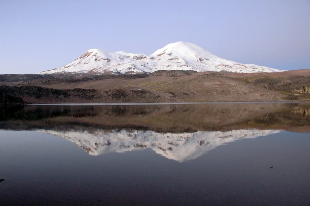
We found that the El Niño Southern Oscillation (ENSO) has a strong relationship with the snow cover on Nevado Coropuna, a glacierized volcano in southern Peru. We find that during El Niño like conditions, there is less snow cover, while La Niña like conditions bring more snow cover. This is significant because it affects the amount of water available to the people in the surrounding villages.
What are the implications of your findings?
Approximately 100,000 people live in the area around Nevado Coropuna and rely on the snow and ice melt for agriculture and domestic uses. Our findings are consistent with previous work in this region that suggest El Niño brings dry conditions to the Peruvian Andes, while La Niña brings more snow cover. This is important to quantify water availability in this environment for uses downstream in agriculture.
What insight did you gain from Landsat that would have been impossible to glean otherwise?
The Landsat archive was crucial to this project. The temporally extensive archive, at reasonable spatial resolution, allowed us to measure snow area over a 30-year period, something that no other satellite series allows.
Could you provide the coordinates for Nevado Coropuna?
15° 33’ S, 72° 38’ W, 6425 m.a.s.l.
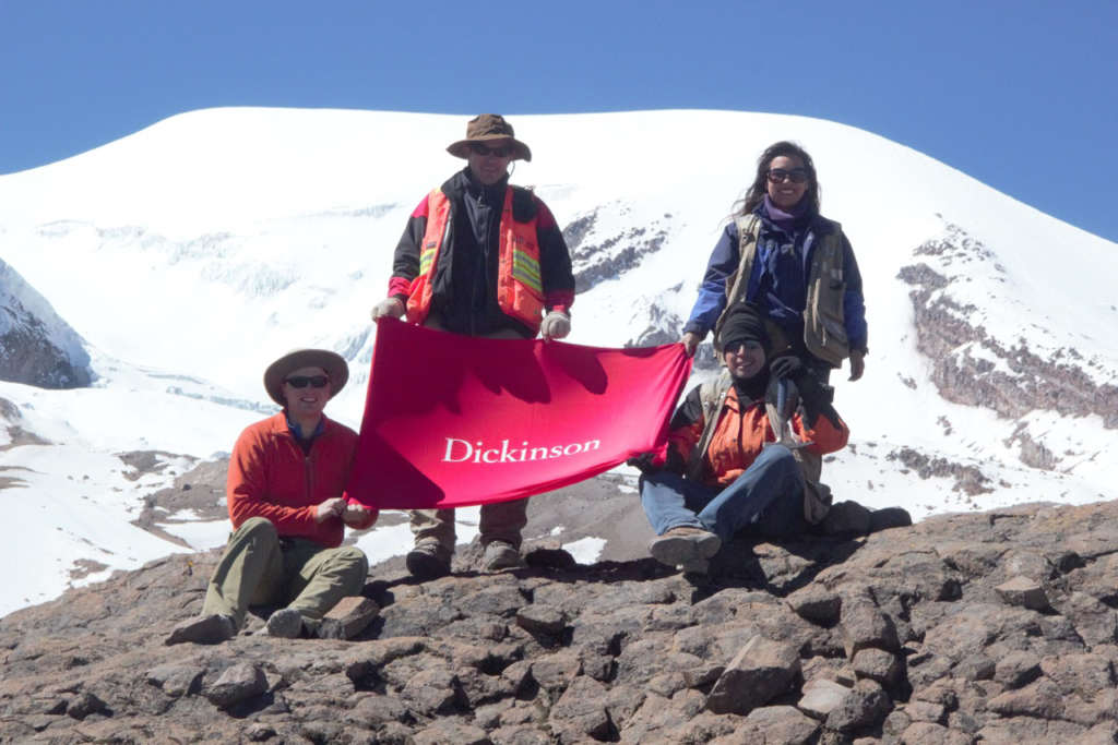
Co-author:
Benjamin R Edwards
Dickinson College
This material is based upon work supported by the National Science Foundation Graduate Research Fellowship under Grant No. DGE-1144205. Any opinion, findings, and conclusions or recommendations expressed in this material are those of the authors and do not necessarily reflect the views of the National Science Foundation.
Anyone can freely download Landsat data from the USGS EarthExplorer or LandsatLook.
Further Reading:
+ Survival of a Tropical Glacier, Kochtitzky’s AGU Q&A from 2015
+ Landsat Abounds at #AGU16


