

How Hurricane Sandy Affected New Jersey Coastal Marshes
Alex Riter, a graduate student at the University of Maryland College Park, presented her finding on how Hurricane Sandy affected New Jersey coastal marches at #AGU15. We talked to Riter about her research.
Using Landsat to Measure Chlorophyll in the Chesapeake Bay
Sara Lubkin, previously with the NASA DEVELOP program, presented a poster at #AGU15 on her work using Landsat data in concert with MODIS data to measure chlorophyll levels in the Chesapeake Bay. We spoke with Lubkin about her work.
A New Landsat-based Snow Cover Product from USGS
David Selkowitz, a Research Geographer with the USGS Alaska Science Center, and his team have developed a snow cover product, that allows users to look at historical snow cover through time. Selkowitz presented a poster on the Landsat-based data product at #AGU15. Here’s what we learned from him this week.
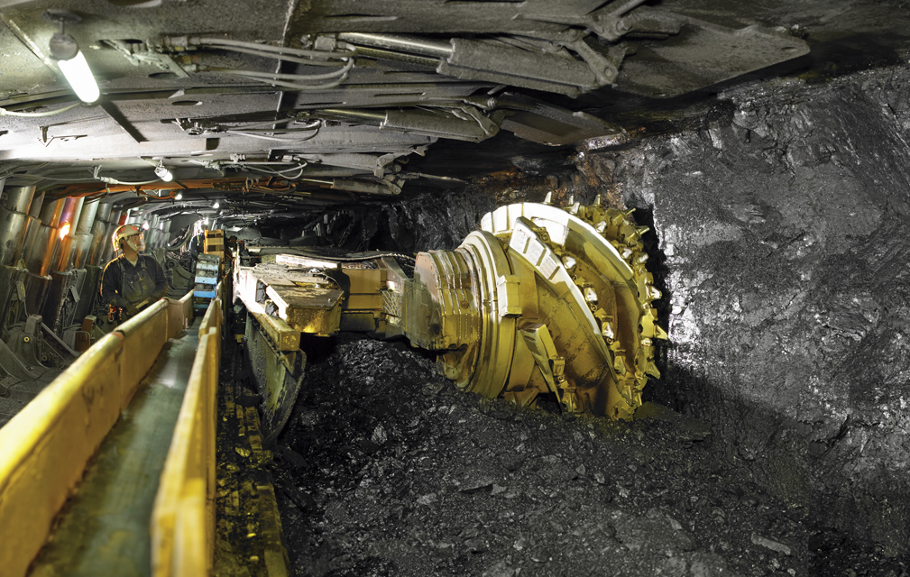
Assessing Longwall Mining Impacts on the Forests Above
Erin Pfeil-McCullough, a graduate student at the University of Pittsburgh, gave a talk at #AGU15 on insights that she has gained from her research to determine what impacts longwall mining has on forest canopies above as the ground subsides and local hydrology is altered.
Monitoring Water Quality Trends in the Niger River Basin
Chase Mueller from NASA Ames Research Center shared the results of a project that uses Landsat and MODIS data to monitor water quality trends at #AGU15. We spoke with him about his findings.
Tracking Microbiological Health Hazards in Burkina Faso
Elodie Robert from the French National Center for Scientific Research presented preliminary results of her research at #AGU15 that aims to track microbiological heath hazards based on surface water turbidity in West Africa.
