


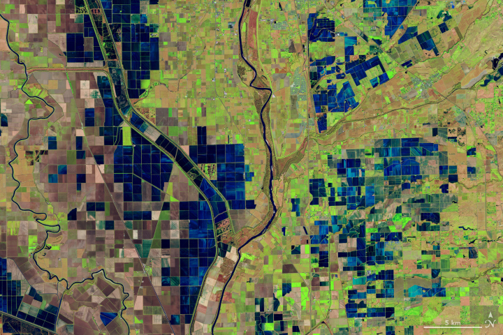
Meat of the Matter: Colorado River Over-Consumed
More water is taken from the Colorado River than it has to give. Better water use accounting made possible by Landsat provides needed guidance for difficult water use decisions.
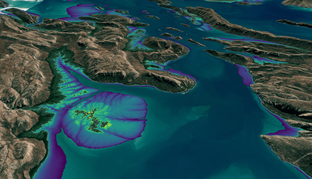
Australian Intertidal Zone Exposed: Landsat and Sentinel-2 Provide Information on Dynamic Region
This month, the Digital Earth Australia (DEA) team released a new Landsat and Sentinel-2 based intertidal data product. The new data set characterizes the tidal shoreline zone of Australia in more detail than ever before.
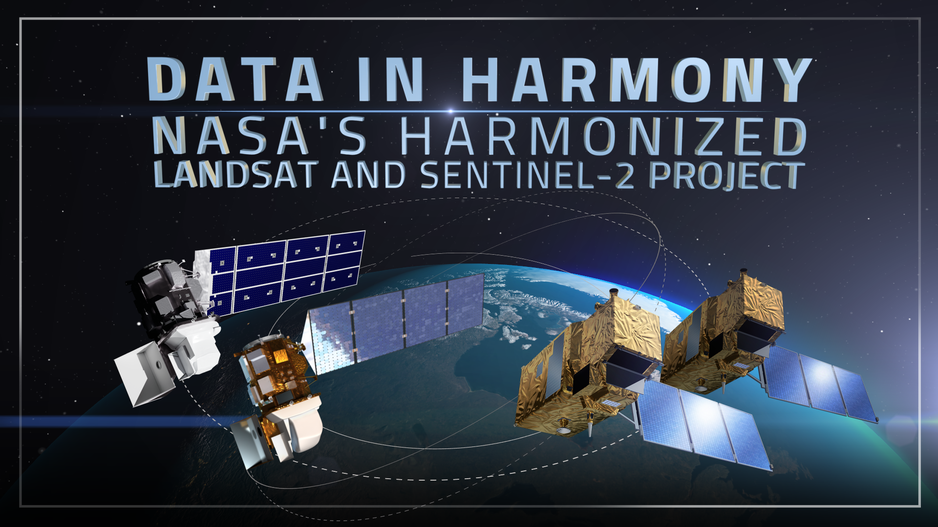
Data in Harmony: NASA’s Harmonized Landsat and Sentinel-2 Project
NASA’s Harmonized Landsat and Sentinel-2 (HLS) project is a groundbreaking initiative that combines data from Landsats 8 & 9 with the European Space Agency’s Sentinel-2A & 2B satellites.
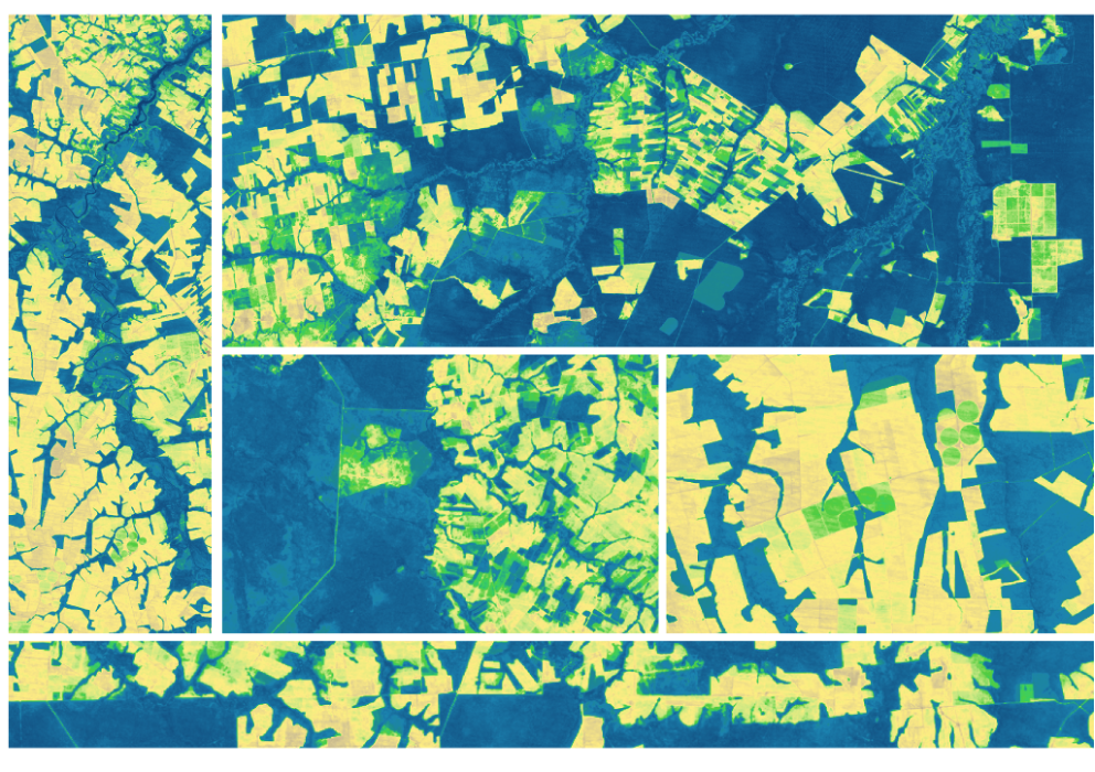
Expanding OpenET Across Amazon Basin
The research teams who help sustain the largest freshwater reserve in the world are developing a new tool to promote more resilient farming systems in Brazil. The goal is to help farmers better handle changes in the water cycle, deal with droughts, and adapt to a changing climate.
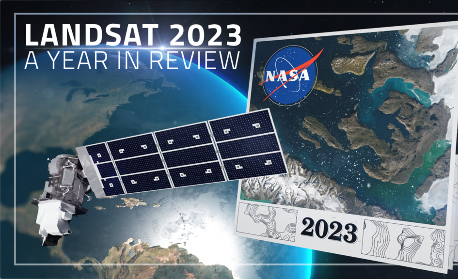
Landsat 2023 – A Year in Review
A delve into Landsat-based studies revealing the environmental impact of river mining, the decline in global lake water levels, and the risks of rising sea levels on coastal habitats. Plus, a sneak peek at what the future of the Landsat program holds with the introduction of Landsat Next.
OpenET Study Helps Water Managers and Farmers Put Landsat to Work
As the world looks for sustainable solutions, a system tapping into Landsat data for water management has passed a critical test.