
At Land’s Edge – Tracking Coastal Ecosystem with Landsat
Discover how Landsat’s 50-year record of Earth helps scientists track the health of coastal ecosystems while providing tools to monitor water quality and reveal changes at the edge of land and sea.

A Planet in Focus – Landsat 7’s Legacy
Celebrating the 25-year mission of Landsat 7, a NASA/USGS satellite that revolutionized Earth observation with high-resolution imagery used in agriculture, disaster response, climate research, and more.
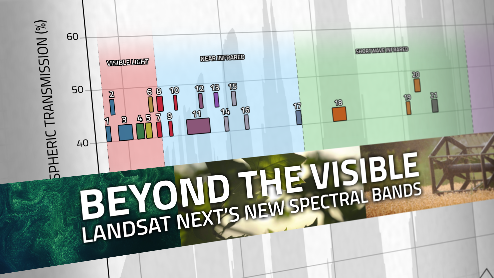
Beyond the Visible: Landsat Next’s New Spectral Bands
With Landsat Next’s 26 new spectral bands, we’ll be able to see our planet like never before. Landsat Next’s enhanced capabilities will provide scientists, farmers, and decision-makers with critical data to tackle global challenges.

Space Out: Landsat
Sit back and relax as NASA’s Landsat program takes you on a journey around the world – soar high above the towering cliffs of the Grand Canyon, catch the seasons changing in the Appalachian Mountains and watch as the Indus River crests its banks, all part of the vast archive of imagery collected by Landsat since the program’s first launch in 1972.

Guardian Landsat on Firewatch
Landsat collects data that helps effectively deal with intensifying wildfires—at all stages of the fire cycle.
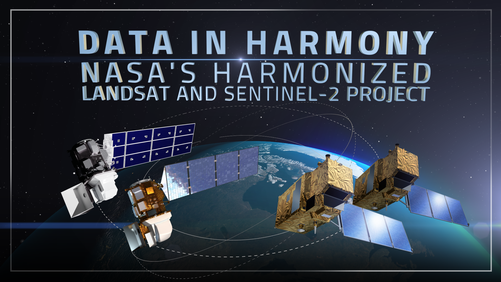
Data in Harmony: NASA’s Harmonized Landsat and Sentinel-2 Project
NASA’s Harmonized Landsat and Sentinel-2 (HLS) project is a groundbreaking initiative that combines data from Landsats 8 & 9 with the European Space Agency’s Sentinel-2A & 2B satellites.