
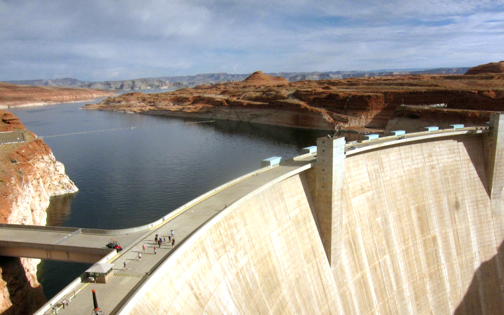
Land Under Water: Estimating Hydropower’s Land Use Impacts
A team of Norwegian-based researchers has developed an innovative way to describe how much land it takes to generate a kilowatt-hour of electricity from hydropower.
Landsat 9 Spacecraft Passes Latest Critical Design Review
The Landsat 9 spacecraft component successfully completed a rigorous Critical Design Review (CDR) demonstrating that the program meets all technical performance measures and requirements.
Does a Bear Smile in the Woods? Citizen Scientists and Satellites Find Out
NASA satellites are helping Wisconsin develop a clearer picture of its diverse and abundant fauna.
Assessing the Impact of Hurricanes on Puerto Rico’s Forests
Scientists at Berkeley Lab have produced a rapid mapping of the disturbance intensity across Puerto Rico’s forests with the help of Google Earth Engine and Landsat 8.
TIRS-2 Testing: A Landsat 9 Instrument Takes Shape
The TIRS-2 build, as with any science-grade space-based instrument, involves lots of testing.
USGS Video: Landsat In Action—Landsat's Calibration and Validation
Engineers and scientists from both Landsat and Sentinel missions talk about working together to calibrate observation data and validate its quality to improve the science using these resources.
USGS Video: Landsat in Action—Forestry Research with Warren Cohen
Warren Cohen from the USDA Forest Service talks about the value of Landsat’s long history of observations in monitoring and assessing forests.
Artist Grayson Cooke Explores the Forces that Shape Earth with Landsat
Q&A conducted by Laura E.P. Rocchio Grayson Cooke Artist “Open Air” is a media project of Australia-based artist Grayson Cooke that features Landsat 8 imagery as it explores how time

Satellite-based Program to More Accurately Identify Land Cover
A new program uses Landsat satellite data to automatically categorize what’s on the ground more accurately than other land cover products.
USGS Video: Landsat in Action—Tracking Water Changes with John Schott
John Schott discusses using Landsat Data over the years and how its thermal data tracks temperature changes in water bodies.
USGS Video: Landsat in Action — Open Data in Australia with Adam Lewis
Adam Lewis talks about the value of Landsat data, the importance of free and open policy, and how analysis ready data is advancing earth observing science.
Open Digital Mapping For Assessing Carbon Storage in Tropical Peatlands
Tropical peatland can be mapped accurately using freely-available remote sensing data and open source software.
Thousands of Citizen-Scientists Help Researchers Map Kelp Forests
Kelp forests are beautiful but fragile habitats for a wide array of plant and animal species.
USGS and NASA Select New Landsat Science Team
The USGS and NASA have selected the scientists and engineers who will serve on the next Landsat Science Team.
Traveling Back in Time to Follow Glacier Trends with IceTrendr
Revealing the dynamic nature of glaciers.
Taking Inventory of New Zealand's Glaciers
Glaciers have been receeding rapidly in many parts of the world, including New Zealand.
Global Mangrove Mapping with Landsat
The area of mangrove wetlands around the world has been declining over recent decades.
