

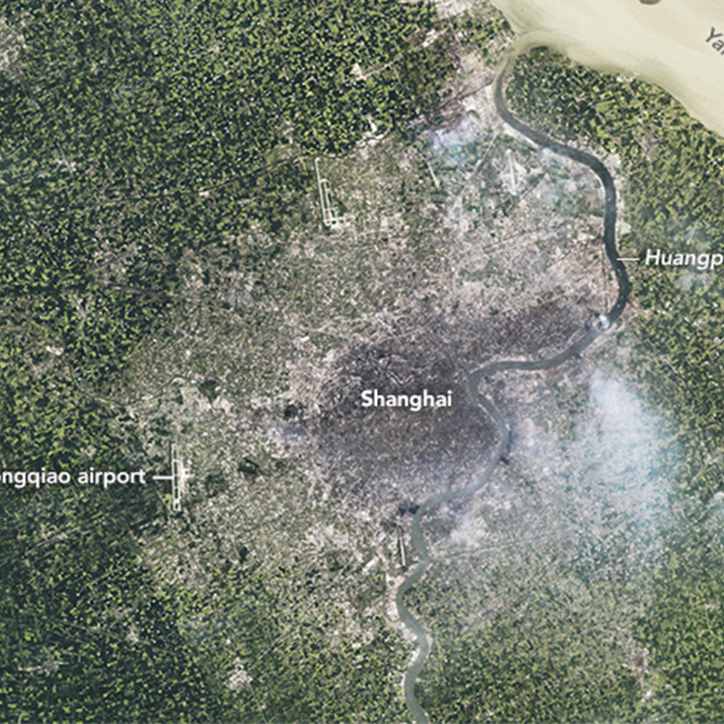
TIME-lapse Travel
Landsat images of Shanghai, one of China’s fastest growing cities, grown between 1984 and 2019. You can see urban areas (that appear gray and white in these images) being replaced with green farmlands and forest. What else can you see change over these 35 years?
Oh, the Places We Go!
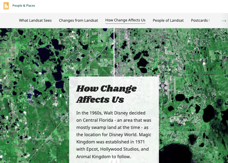
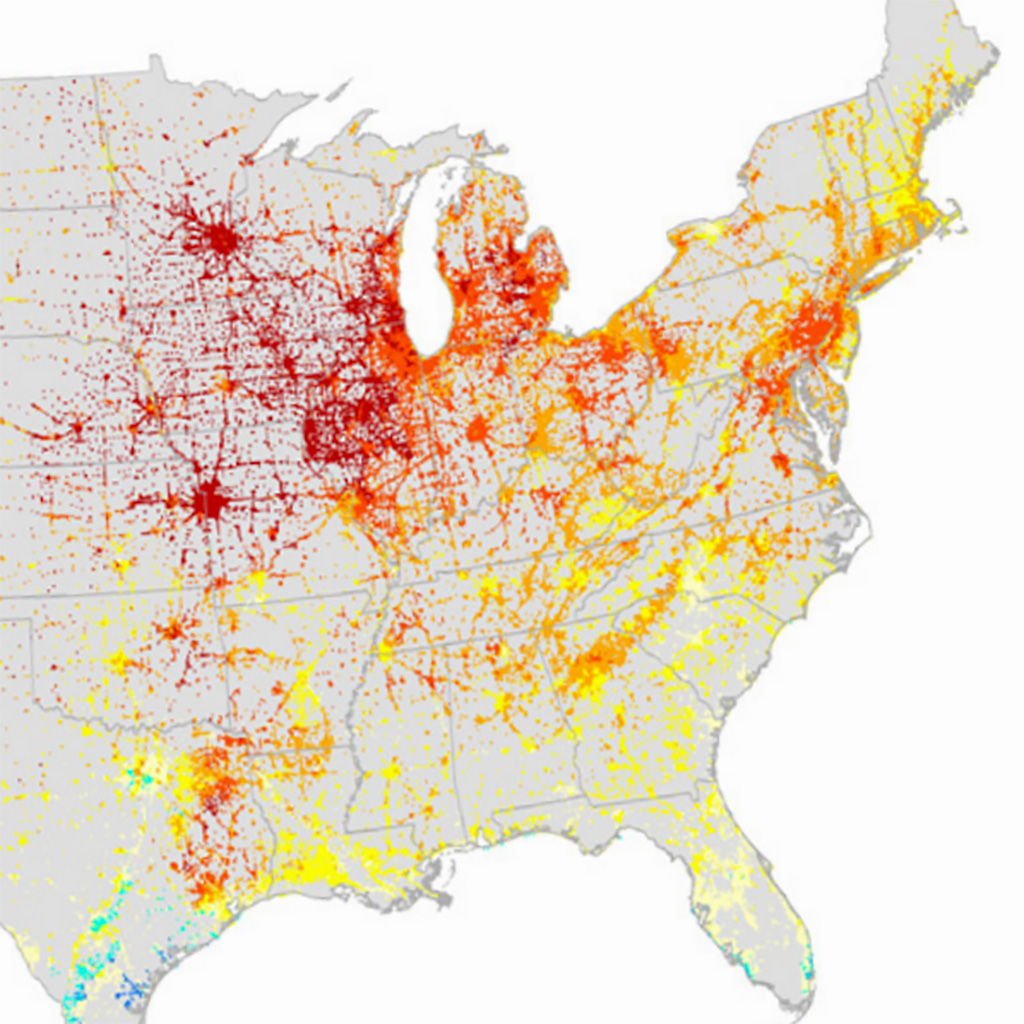
Landsat has been observing the natural and built world for 50 years—showing us how much we have changed the landscape as the number of people on the planet has doubled.
Then & Now
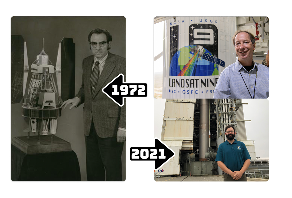
Landsat Project Scientists from NASA and USGS have played an important role in advancing the scientific achievements of the Landsat Program.
TIME-lapse Travel
Landsat images of Shanghai, one of China’s fastest growing cities, grown between 1984 and 2019. You can see urban areas (that appear gray and white in these images) being replaced with green farmlands and forest. What else can you see change over these 35 years?
Oh, the Places We Go!
Landsat has been observing the places people go for 50 years and as our population grows, Landsat can show us how people have changed the landscape.
Then & Now
Landsat Project Scientists from NASA and USGS have played an important role in advancing the scientific achievements of the Landsat Program.
GLOBE Land Cover Challenge 2022
Nearly every aspect of our lives is fundamentally tied to the land on which we live. Documenting what is on the land (land cover) is important for many areas of critical science studied by NASA scientists. Scientists use Landsat to study Earth’s land surface, from the places people live to the most remote places on our planet. Find out how you can take part in the upcoming Land Cover Challenge: “Land Cover in a Changing Climate.”

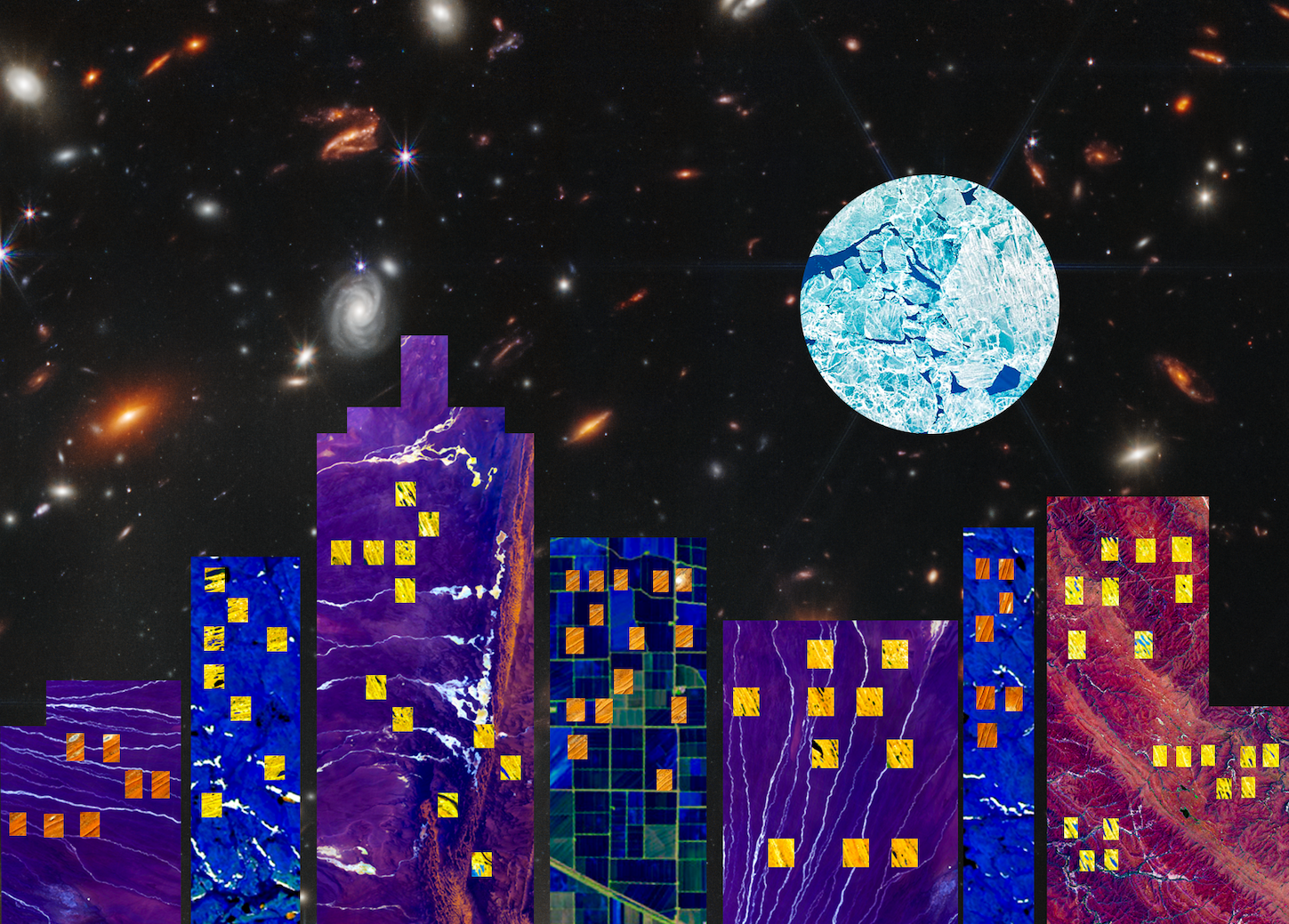
Landsat Collage Challenge
The Landsat series of satellites has been collecting visually stunning and scientifically valuable images of Earth since 1972. While Landsat data have played a critical role in the study of our land resources, images from these data have provided some of the most beautiful and unique colors, textures, and patterns of our planet. Explore these stunning patterns and colors from folded red mountain ridges, yellow dunes dotted with brilliant pools of blue water, and swirling clouds of blue-green phytoplankton.
Make Your Own Map
Maps can help you find your way around a city, locate a place in the world, or even help plan a garden. Try making your own map with this activity that guides you through deciding on a purpose for the map and adding elements such as a grid, a compass, a scale, a key, symbols, and labels. Download Make a Map pdf and watch Making a Map.

Be a Data Detective
When viewing the Earth from space, there is no question that humans have changed our planet. Landsat satellites can show heat emitting off the planet’s surface. Be a data detective and solve the Mystery of the Islands on the Land.
Make your Own Map
Maps can help you find your way around a city, locate a place in the world, or even help plan a garden. Try making your own map with this activity that guides you through deciding on a purpose for the map and adding elements such as a grid, a compass, a scale, a key, symbols, and labels. Download Make a Map pdf and watch Making a Map.
Be a Data Detective
When viewing the Earth from space, there is no question that humans have changed our planet. Landsat satellites can show heat emitting off the planet’s surface. Be a data detective and solve the Mystery of the Islands on the Land.
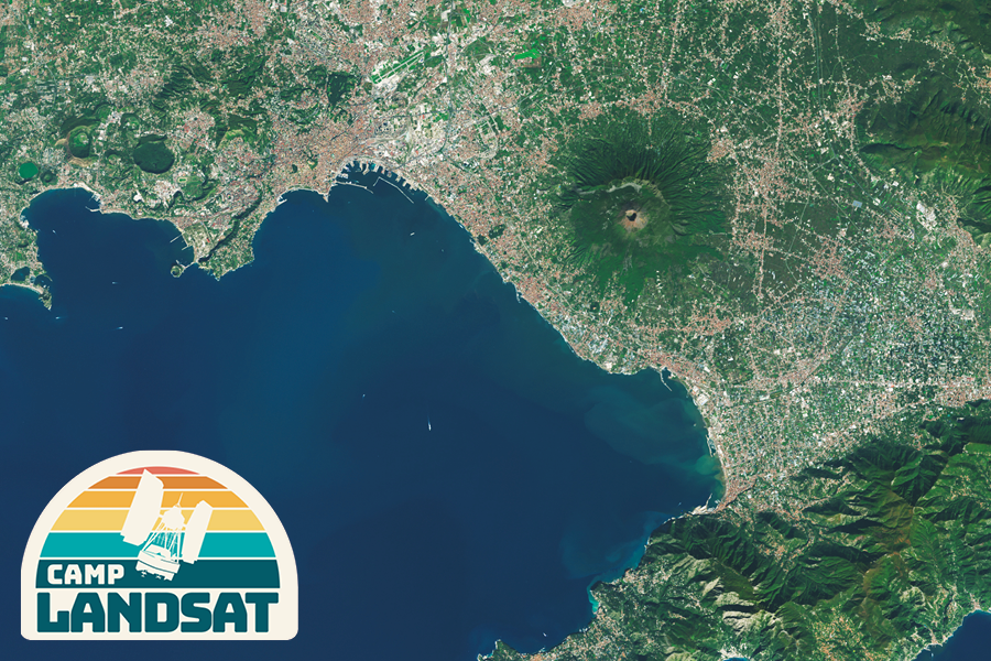
Postcard from Camp
This week we visit the 3rd largest city in Italy – Naples. Founded by the Greeks, Naples city center is the largest in Europe (covering 1,700 hectares) with a history going back 27 centuries. Today, the sprawling Naples metropolitan area is home to around 4 million people.
EO Kids
What makes an urban heat island? Why is New York City a “hot” town? Where are the hottest places on Earth? How can NASA scientists help city planners turn down the heat?
Learn more in the Urban Heat Islands issue.