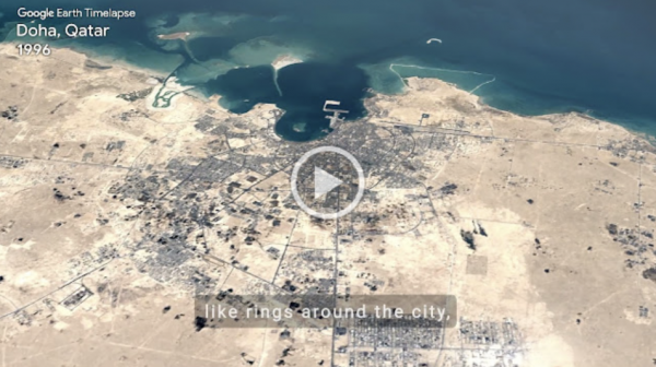

Are you exploring any cities this summer? Rain or shine, urban planners use Landsat to take stock of city growth and its environmental impact.


Are you exploring any cities this summer? Rain or shine, urban planners use Landsat to take stock of city growth and its environmental impact.
We know how forests around the planet are changing thanks to Landsat. There are many new insights about global tree-cover that Landsat has given us. Landsat 9 is ready to keep that tradition going.
Did You Know?
Cities are hotter than surrounding areas. Landsat can show you why.

Landsat 5
1984
Record for the longest-operating

Landsat 5
1984
Record for the longest-operating

Landsat 5
1984
Record for the longest-operating
Try This!
Scientists use something called image classification to figure out exactly how much forest has been changed to city, how much water has been lost in lakes, and even how much bare soil has been converted into farmland.
Try This!
Scientists use something called image classification to figure out exactly how much forest has been changed to city, how much water has been lost in lakes, and even how much bare soil has been converted into farmland.
Postcard from Camp
Collect all nine postcards from Camp Landsat starting with Week 5: Cities & Suburbs! Are you exploring any cities this summer? Rain or shine, urban planners use Landsat to take stock of city growth and its environmental impact. The front of this postcard features a natural-color Landsat 8 image of Ocean Flower Island in Hainan, China acquired May 6, 2020.
EOKids
Discover how NASA scientists can help city planners turn down the heat in Urban Heat Islands: Hot Times in the City.


