Landsat Next Defined

Landsat Next Defined

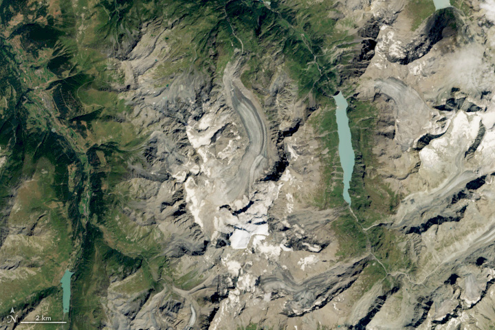
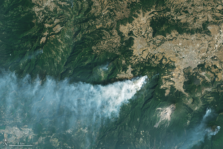
Landsat Next is on the horizon—the new mission will not only ensure continuity of the longest space-based record of Earth’s land surface, it will fundamentally transform the breadth and depth of actionable information freely available to end users. Take a look at the new capabilities that will define the next Landsat mission.

Read More »
Landsat Next Defined

Landsat Next Defined

Landsat Next is on the horizon—the new mission will not only ensure continuity of the longest space-based record of Earth’s land surface, it will fundamentally transform the breadth and depth of actionable information freely available to end users. Take a look at the new capabilities that will define the next Landsat mission.

Read More »

“The USGS’ incredible gift of open-source [Landsat] imagery and this kind of tool are truly advancing what non-scientists can expect when it comes to views of their planet. Never before have regular people had such ready access to geographic data at this depth and quality.”


“The Landsat archive holds great potential for studying the processes behind the Greenland Ice Sheet’s response to our changing climate over multi-decadal time scales. It is essential that this record be exploited over other areas of the Greenland Ice Sheet.”


“Satellite data is revolutionizing the way we map the world and the way we understand the natural and anthropogenic processes acting on Earth.”


“Landsat is key to a wide range of applications that support global glacier monitoring and elucidate the impacts of global climate change.”


“Landsat’s free and open data policy allows our coastline mapping methods to be easily scaled up and applied to other coastal regions, lowering barriers to understanding recent patterns and processes of coastal change globally.”


“Landsat can see the surface—human settlements, forests, coastal systems. It helps us understand crucial areas of biodiversity on land, crop yields, how to manage our resources, how to protect them.”


“Our Landsat-based insect atlas facilitates comparisons across space, time, and insect agents that have not been possible to date.”


“Remote sensing with satellites such as Landsat and sensors such as MODIS allows scientists to conduct a range of studies they wouldn’t otherwise be able to.”


“A 35-year dataset in marine biology is really hard to find… But we need long-term data to understand climate change and how it impacts populations. This was an exponential increase in the amount of information available about kelp forests in Oregon.”


“During the decade following 1969, a singular development catapulted computer mapping: the launch of Landsat by NASA and the U.S. Department of the Interior in July 1972.”


“The Landsat archives were the foundation of our study. Landsat unlocks the previous three decades’ of global river changes by recording these ‘natural experiments.’ We were able to quantify the degree of accelerated migration and channel widening caused by 13 cutoff events, estimate the amount of sediment released into the channel due to the cutoffs, and infer the physical processes driving river response to cutoffs.”


“In the world of water resource management, Landsat has played a key role in providing objective and continuous data for the United States, particularly in the arid west. Water-related benefits of Landsat imagery are also reaped far beyond the United States’ borders in countries such as Chile, Australia, Morocco, Sudan, and Venezuela, which are using Landsat data to make informed decisions regarding natural resource allocation and use.”


“An alert system operating at the scale presented here depends on systematic global acquisitions, robust preprocessing, and free and accessible data. Only Landsat has these criteria at medium spatial resolutions, with Sentinel aspiring to emulate Landsat.”


“Several satellite systems can now measure the surface urban heat island, but the Landsat program provides decades of continuous, comparable data in the detail necessary to examine variations within a city. That continuity helps scientists measure the impact of changes and track how development patterns change a neighborhood’s heat profile.”


“What should be done with the old bird?”


“We cannot do this project if the Landsat program doesn’t deliver this open data to the scientific community… We are benefiting from these long-term investments now.”


“[W]e see—at least in the commercial sector—that these missions really depend on Landsat as a reference calibrated measurement to adjust or align their measurements to Landsat.”


“Landsat is providing better [surface] water data—not just at the state level or nationally, but globally”


“Landsat 8, which launched into orbit in 2013, is the newest sensor in the USGS/NASA Landsat Program — superior to its predecessors in many ways. Landsat 8 captures images with greater detail, truer colors, and at an unprecedented frequency — capturing twice as many images as Landsat 7 does every day.”


“What we’re able to do now is track the flow of the world’s ice from pole to pole and on every continent.”


“[T]he case for open data is more than proven by Landsat and Copernicus. Many innovative applications using these datasets are the dividends that benefit the taxpayer.”


“The US satellite series—its current flier is named Landsat 8—pioneered the science of monitoring the planet from orbit. It has assembled a continuous record of the world’s fluctuating features that stretches back more than 40 years. In satellite terms, it is the gold standard.”


“Without Landsat we would not have the record we have today about deforestation and changing agriculture across a vast and important biome.”


Landsat 9 bw
Landsat 9 bw
Landsat 9 bw

The NASA/USGS Landsat Program provides the longest continuous space-based record of Earth’s land in existence. Landsat data give us information essential for making informed decisions about Earth’s resources and environment.