Source: Audra Zakzeski and Alex Minchenkov, USDA NASS
The U.S. Department of Agriculture’s (USDA) National Agricultural Statistics Service (NASS) today released updates to its online geospatial exploring tool, CropScape. The 2011 Cropland Data Layer products, which are derived from satellite image observations at 30-meter (0.22 acres per pixel) resolution, help users visualize how the volatile weather events of 2011 affected cropland in the United States. “We are very pleased to release updates to the CropScape Web-based data tool,” said NASS Research and Development Division Director, Mark Harris. “These satellite-derived land cover images show first-hand the ever-changing face of U.S. agriculture and contribute extensively to research on various issues including biodiversity, agricultural sustainability and extreme weather events, such as flooding and drought.”
The CropScape tool is designed to provide the public with easy access to interactive visualization, geospatial queries and dissemination without the need to download specialized software. Coinciding with the release of the 2011 Cropland Data Layer, NASS will also release a new CropScape version with new functional capabilities and enhancements. The Cropland Data Layer images released today were collected from the Disaster Monitoring Constellation: Deimos-1 and UK2, and Landsat Thematic Mapper satellites.
In addition to the current update, CropScape includes historical data. The NASS CropScape team compiled the remaining historic state Cropland Data Layers for 2008 this past year. Cropland data layers are now available back to 2008 for 48 states and at some locales; data are available tracing back to 1997.
CropScape was developed in cooperation with the Center for Spatial Information Science and Systems at George Mason University, Fairfax, Va. The online tool is operated by NASS’s Research and Development Division and hosted and maintained by the Center for Spatial Information Science and Systems at George Mason University.
Further information:
+ CropScape and the Crop Data Layer
+ NASS Releases New Geospatial Data in CropScape

Landsat & LCLUC: Science Meeting Highlights
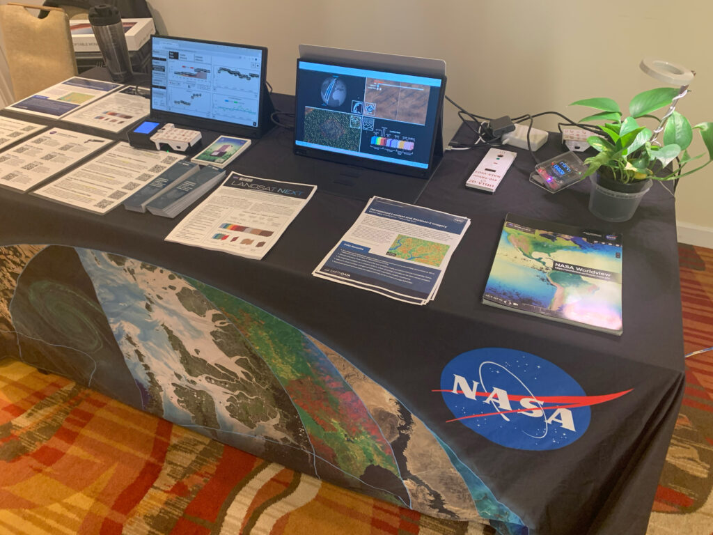
Outreach specialists from the Landsat Communications and Public Engagement team participated in community engagement efforts at the joint NASA and University of Maryland Land Cover Land Use Change (LCLUC) meeting.


