Contributor: Laura E.P. Rocchio
Last night, Harvard University’s prestigious Ash Institute selected a Landsat-based water-use mapping method as a 2009 Innovations in American Government Award winner.
“The 2009 Innovations finalists epitomize governance at its best, wherein public officials engage in creative risk-taking and devise programs that better serve their constituents,” Ash program director, Stephen Goldsmith, said. The six Ash Award winners—selected from a pool of more than 600 applicants—have been identified as public sector innovators with the potential to inspire replication worldwide.
The state of Idaho, which championed the Landsat-based method, regularly produces detailed water-use maps to inform decisions on local and regional water-demand issues, saving taxpayer money while increasing decision accuracy and effectiveness. It is the technology’s ability to help the arid West adapt to climate change and the increased water shortages it will bring that Ash Institute award evaluator, James Levitt, considers of key importance.
Beginnings
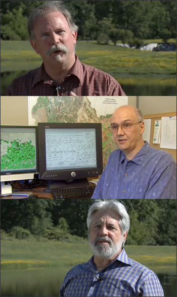
A decade ago, the Idaho Department of Water Resources (IDWR) needed to map water-use in the Bear River Basin shared by Idaho, Utah, and Wyoming. Water from the river basin is allocated between the three states based on interstate compact guidelines and new irrigation projects can only be added if a state is honoring its water allocation limits. Accordingly, IDWR needed a way to “consistently, inexpensively, and accurately” map water use by each state, explains Anthony Morse, an IDWR water management specialist. So, in 2000 IDWR began working with the University of Idaho to develop a computer model based on objective Landsat satellite data to compute and map water use in vegetated areas. The resulting Landsat-based water-use mapping method (a program called METRIC—Mapping EvapoTranspiration at high-Resolution with Internalized Calibration) has now been hailed as an important American Government innovation.
Significance
In the dry Western states, where irrigated agriculture accounts for 86% of all water consumption, the water-use (evapotranspiration or ET) information provided by METRIC is critical for arbitrating increasingly common water-resource conflicts. As agricultural irrigation needs, swelling city populations, and a changing climate increase demand for scarce water supplies, water management strategy is shifting from increasing water supply to innovatively managing water use at sustainable levels. Accurate water-use mapping is essential for effective water management, and the Landsat-based method can be as much as 30 percent more accurate than traditional measurement methods.
In the decade since Idaho introduced METRIC, users in many thirsty Western states have adopted it including: Montana, California, New Mexico, Utah, Wyoming, Texas, Nebraska, Colorado, Nevada, and Oregon. The mapping method has enabled these states to negotiate Native American water rights; assess urban water transfers; manage aquifer depletion, monitor water right compliance; and protect endangered species.
In general, Landsat-based water-use mapping helps to “quantify the effectiveness and distribution of water-use [and to] manage the administration of water rights and diversions,” Richard Allen, a University of Idaho Water Resources Engineering Professor and Landsat Science Team member, explains. “If one stands back and looks at the bigger picture for a large river system, improved management should make the global use of the water resource more economically efficient.”
Landsat Uniquely Suited for Mapping Water-Use
The Landsat satellites have a number of characteristics that make them well suited for water-use mapping:
(1) The spatial resolution of Landsat enables water managers to map water use for individual agricultural fields and thereby manage on a field-by-field basis. With coarser-resolution data this doesn’t work. Landsat’s “resolution helps us to resolve water consumption on the scales of anthropogenic interaction and land ownership,” Allen explains.
(2) Landsat’s spectral resolution includes a thermal infrared band. This thermal information is essential for water-use mapping because the mapping process is predicated on the fundamental principle that evaporating water absorbs energy, i.e. the more water fields are losing through ET, the cooler they are.
(3) There is now an archive containing a quarter of a century worth of global Landsat data that has the spatial resolution, spectral coverage, and thermal imagery needed for water-use mapping. “Landsat provides continuity to assess change in ET over time and to document historical water consumption,” Allen says—an essential capability in the U.S. West, where water rights often are established by historical precedence. As Levitt puts it, “METRIC allows water resource administrators to go back in time and see consumptive use.”
(4) The Landsat satellites’ orbit place them overhead during morning hours, avoiding common afternoon cloud cover.
(5) The entire Landsat archive is freely available. As Morse highlights, “all parties to a water dispute have equal access to a primary data source.”
The Idaho innovation is well poised to inspire replication worldwide. Internationally, Spain, South Africa, and Morocco have already employed the novel method. Essentially, Levitt explains, “METRIC gives water resource administrators a tool they never had before.”
Further information:
+ Landsat: A Space Age Water Gauge (video)
+ Landsat: A Space Age Water Gauge @ SVS (various video formats and stills)
+ Landsat: A Space Age Water Gauge @ youtube [external link]
+ 2009 Innovations in American Government Award Winners @ youtube [external link]
+ Harvard University’s Ash Institute Honors Six Government Programs [external link]
+ Innovation Honored by Ash Institute for Improving Understanding of Water Usage in Agriculture [external link]
+ Water Measured from the Sky [Washington Post—external link]
Landsat & LCLUC: Science Meeting Highlights
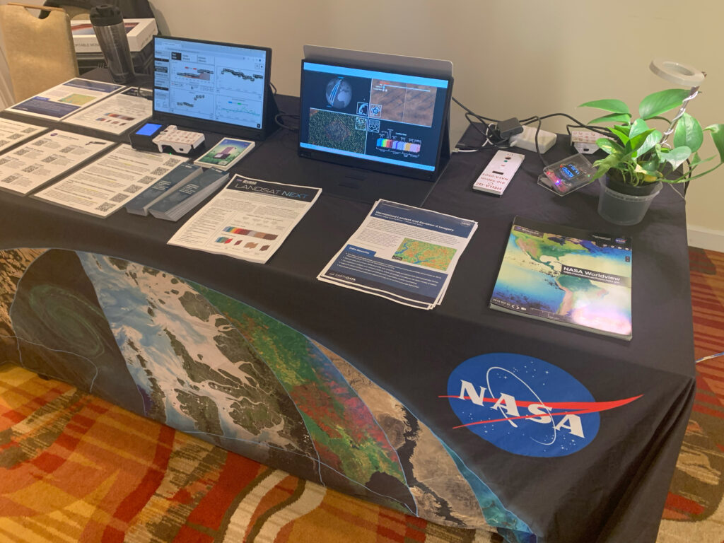
Outreach specialists from the Landsat Communications and Public Engagement team participated in community engagement efforts at the joint NASA and University of Maryland Land Cover Land Use Change (LCLUC) meeting.

