Landsat Next Defined

Landsat Next Defined

Landsat Next is on the horizon—the new mission will not only ensure continuity of the longest space-based record of Earth’s land surface, it will fundamentally transform the breadth and depth of actionable information freely available to end users. Take a look at the new capabilities that will define the next Landsat mission.

Read More »
Earthrise

Remembering Bill Anders

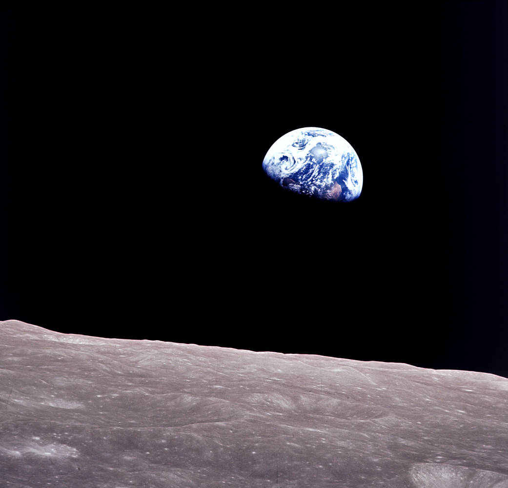
Anders, 90, the astronaut who captured the iconic Earthrise photograph, died on June 7, 2024, when the plane he was piloting crashed into the San Juan Channel.

Read More »
Landsat Next Defined

Landsat Next Defined

Landsat Next is on the horizon—the new mission will not only ensure continuity of the longest space-based record of Earth’s land surface, it will fundamentally transform the breadth and depth of actionable information freely available to end users. Take a look at the new capabilities that will define the next Landsat mission.

Read More »
Earthrise

Remembering Bill Anders

Anders, 90, the astronaut who captured the iconic Earthrise photograph, died on June 7, 2024, when the plane he was piloting crashed into the San Juan Channel.

Read More »

“This is really an exciting time for Landsat polar science, a new era so to speak. With Landsat Next on the horizon, the LEAP special request program and its observations of Earth’s polar regions—and the global cryospheric state more broadly—can only be expected to grow in impact and relevance.”


“While many previous studies have reported ongoing ice shelf thinning around Antarctica since the 1990s, we didn’t previously know that a lot of it started around then.”


“Over the past 50 years, eight Landsat satellites have circled the planet, which have helped to save and improve lives and support our economy. NASA will continue to work with USGS to improve access to Landsat’s unprecedented 50-year record and build on the program’s legacy.”


“The value of the Landsat archive is that we have a long-term memory of the changes that have occurred across the Amazon frontier.”


“We are looking forward to new exciting data to complement Landsat observations and to collaborative research—especially because ESA followed USGS in its open data policy.”


“I have really appreciated being able to use Landsat data as a ‘time machine’ to understand our changing environment.”


“It’s a treasure trove.”


“The Deltares Aqua Monitor is the first global-scale tool that shows at 30-m resolution where water is converted to land and vice versa. With assistance from Google Earth Engine, it analyzes satellite imagery from multiple Landsat missions, which observed Earth for more than three decades, on the fly.”


“The availability and accessibility of remotely sensed digital imagery obtained from Landsat satellites allow coastal scientist—and more importantly community members—the opportunity to map, evaluate and continuously monitor shoreline movement at regular intervals given the unprecedented pace of Arctic climate change.”


“You can launch a new satellite, but you can’t put something up in the past. Landsat will always be that historic record that new satellites can tie themselves to.”


“The issue of forest disturbance could not have been addressed without our analysis of Landsat Time-series Stacks”


“We knew that ice had been retreating from this region recently but now, thanks to a wealth of freely available satellite data, we know this has been occurring pervasively along the coastline for almost half a century.”


“As one of the longest data archives suitable for this purpose, Landsat data allows us to analyze coastal wetland change over time-periods that enable us to monitor long-term directional change in the extent of the world’s coastal ecosystems and distinguish them from natural fluctuations. Our work on tidal flats and global coastal wetland change would not be possible without free access to a long-term, spatially comprehensive dataset such as Landsat.”


“Now that the entire Landsat archive is freely available it has become economically feasible to monitor disturbance over large areas using satellite time series.”


“We’re happy to see that the Agribotix imaging system performs so well when compared to Landsat 8, one of the highest quality land imaging satellite systems…”


“I don’t think there’s any question about how important and how valuable MSS is.”


“Tropical deforestation plays a big role in global climate cycles… without the transparency of Landsat satellite data is difficult to put your finger on changing trends.”


“By using Landsat 8 imagery, and classification tree analysis, which is an advanced artificial intelligence routine, we have been able to construct a reliable classification system to identify cheatgrass infestations that is accurate. This has implications for fire susceptibility. Cheatgrass is driving wildfire on rangelands and we need to identify areas that have heightened susceptibility to wildfire.”


“Landsat, now one of the largest and most powerful tranches of Earth-science data, is an invaluable scientific resource.”


“We have a globally consistent, locally relevant map product that can be used in a variety of applications: estimating emissions from deforestation, modeling biodiversity, assessing protected areas, and studying forest and human health. We plan to move our record forward and backward where Landsat has a sufficiently rich archive of data.”


“Landsat 5 is kind of like the (Energizer) bunny — it just keeps running and running.”


“It is one of the greatest wetlands management tools that has become available in many years. The wetlands mapping plus WIT outputs are used on a daily basis by a very broad range of stakeholders, from government officers to planners and to those involved in on-ground rehabilitation and management—frankly it’s hard to know how we managed without it.”


Landsat 9 bw
Landsat 9 bw
Landsat 9 bw

The NASA/USGS Landsat Program provides the longest continuous space-based record of Earth’s land in existence. Landsat data give us information essential for making informed decisions about Earth’s resources and environment.