Landsat Next Defined

Landsat Next Defined

Landsat Next is on the horizon—the new mission will not only ensure continuity of the longest space-based record of Earth’s land surface, it will fundamentally transform the breadth and depth of actionable information freely available to end users. Take a look at the new capabilities that will define the next Landsat mission.

Read More »

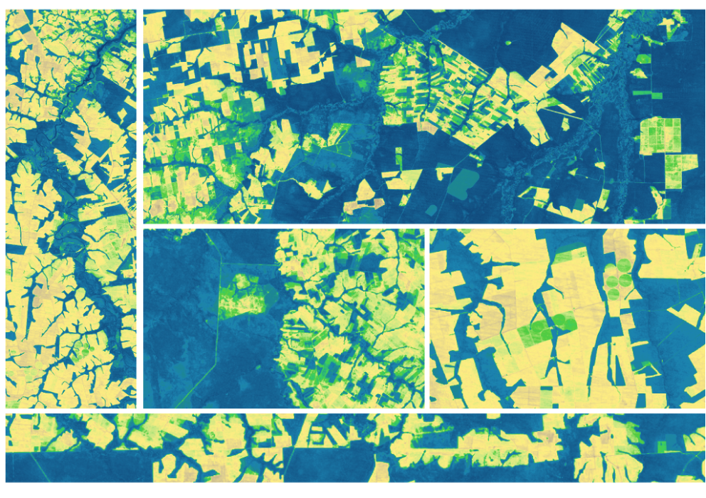
Expanding OpenET Across Amazon Basin

The research teams who help sustain the largest freshwater reserve in the world are developing a new tool to promote more resilient farming systems in Brazil. The goal is to help farmers better handle changes in the water cycle, deal with droughts, and adapt to a changing climate.

Read More »
Landsat Next Defined

Landsat Next Defined

Landsat Next is on the horizon—the new mission will not only ensure continuity of the longest space-based record of Earth’s land surface, it will fundamentally transform the breadth and depth of actionable information freely available to end users. Take a look at the new capabilities that will define the next Landsat mission.

Read More »

Expanding OpenET Across Amazon Basin

The research teams who help sustain the largest freshwater reserve in the world are developing a new tool to promote more resilient farming systems in Brazil. The goal is to help farmers better handle changes in the water cycle, deal with droughts, and adapt to a changing climate.

Read More »

“Landsat’s free and open data policy allows our coastline mapping methods to be easily scaled up and applied to other coastal regions, lowering barriers to understanding recent patterns and processes of coastal change globally.”


“[Landsat] has transformed our understanding of Earth and allows us to better monitor and respond to changes on our planet.”


“Without Landsat’s long record, studies like ours would be impossible to undertake, because we don’t have a time machine to go back to the 1970s and 1980s and see how Turkey’s glaciers were doing then. Using Landsat and commercial satellite data together, we can map glaciers with high accuracy. It’s a powerful combination for studying the Earth from space.”


“It’s really by stepping back and looking at the Earth, observing these changes in their context from space, can we really understand what’s happening.”


“Landsat is really important because it gives us that time component. We can go back in time and see what an area let’s say a coastal zone or a mangrove forest has been like over time.”


“In many cases the Landsat archive has provided the only consistent source of information to monitor changes in the surface of the Earth.”


“If you don’t know what Landsat (NASA/USGS) and Sentinel-1/Sentinel-2 (ESA) are, they are scientific Earth observation missions involving large, exquisitely calibrated satellites that capture imagery of the entire globe on a regular cadence. Landsat is celebrating its 50th anniversary this year. In fact, there have been 9 different satellites bearing the Landsat name over those five decades—Landsat 9 was launched last year! The data they produce is open and hosted freely for anyone to access. Pr…


“New sensors are nice, but can’t let us see back in time. Happy 17th!”


“Satellite imagery can be used retrospectively, meaning that the data collected by satellites today will probably help solve issues we are not currently even aware of—an advantage which is invaluable.”


“The use of [Landsat] satellite imagery provides the means to monitor the agricultural water consumption over every square foot of land surface.”


“Usage rocketed in 2008, when Landsat made its images free. More than a million images were downloaded in the first year, compared with a previous annual high of 25,000 images sold. More than 20 million images have been downloaded since the archive opened and the rate continues to increase.”


“By analyzing 34 years of [Landsat] data, we estimated that about 56% of the rivers globally are affected by seasonal ice [and] that there is 2.5 percentage points decline of river ice globally during this time.”


“It’s a fantastic time to be a user of satellite data, if you’re in that moderate resolution domain this is amazing. The Sentinels and Landsat together is going to be really a game changer. It truly is.”


“It is a game changer for people who want to know the impact of a management action on particular piece of land, or how a dam affected the downstream area.”


“In the world of water resource management, Landsat has played a key role in providing objective and continuous data for the United States, particularly in the arid west. Water-related benefits of Landsat imagery are also reaped far beyond the United States’ borders in countries such as Chile, Australia, Morocco, Sudan, and Venezuela, which are using Landsat data to make informed decisions regarding natural resource allocation and use.”


“…Landsat products can be used—and are necessary—for quantifying and summarizing water use volumes at spatial scales that are relevant for water resource studies in water-limited regions.”


“The Landsat time series is so convenient and easy to use and has triggered science that was not possible a few decades ago.”


“The use of [Landsat] satellite imagery provides the means to monitor the agricultural water consumption over every square foot of land surface.”


“It is undeniable that having access to long-term satellite data has allowed ecologists and environmental managers to increase their understanding of the natural world, to make predictions about how this world might transform and to design efficient mitigation and adaptation strategies in the face of global environmental change.”


“We basically built … Tinder for Landsat maps: Swipe right if it’s good, swipe left if it’s bad.”


“Landsat 8 is an incredible resource for global change research and has been used in a diverse array of scientific endeavors including the monitoring of deforestation, population growth, and glacier recession.”


“[Landsat] became freely available in 2008 and I think that that completely changed how we are able to use this type of data for decision making.”


“Landsat enabled us to collect a multi-decadal record of the [river] reaches at almost annual resolution. By extending our record into the past we were able to examine how the reaches changed through time providing us with a truly invaluable dataset.”


“We show governments across the world that it makes financial sense to release broadly and openly the data that the taxpayer has already paid for. It will build your economy, it is certainly good for transparent government and, it is a boon for capacity building and education.”


Landsat 9 bw
Landsat 9 bw
Landsat 9 bw

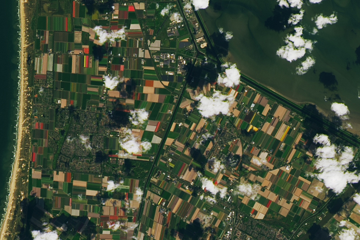
The NASA/USGS Landsat Program provides the longest continuous space-based record of Earth’s land in existence. Landsat data give us information essential for making informed decisions about Earth’s resources and environment.