By Laura E.P. Rocchio

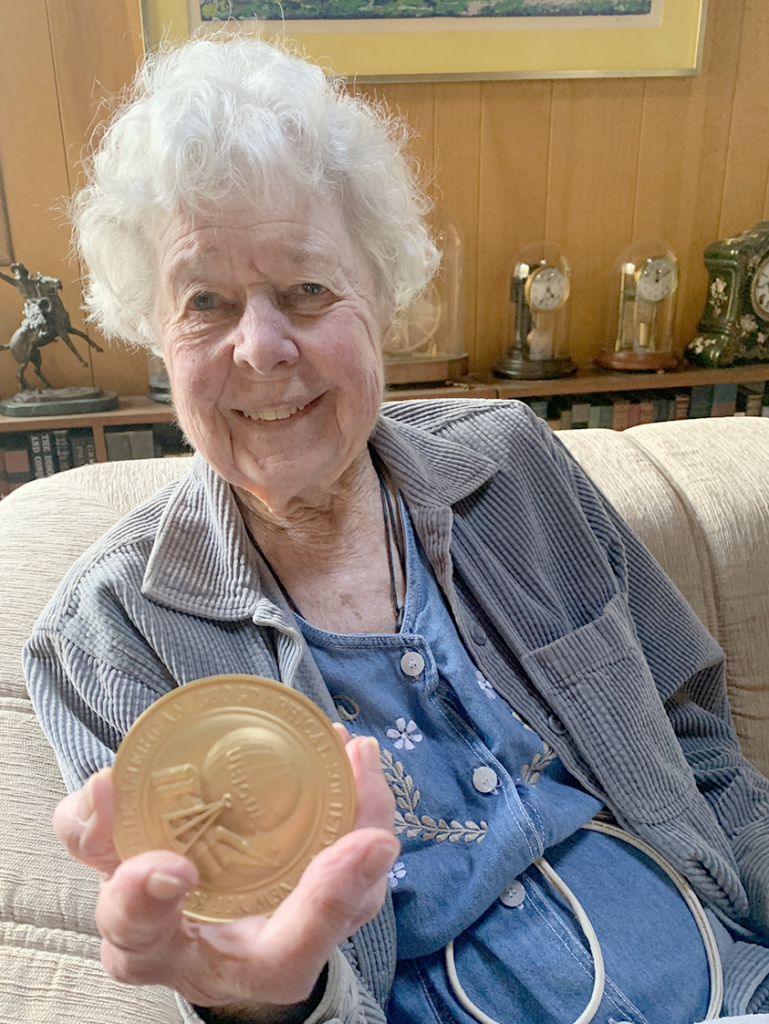
This fall, Virginia T. Norwood, the “Mother of Landsat,” was recognized by the American Geographical Society (AGS) for her contributions to cartography.
During the AGS annual meeting in New York City on Nov. 18, 2022, Norwood was formally recognized with the society’s O.M. Miller Cartographic Medal for her development of the Multispectral Scanner System (MSS) which began the Landsat Earth observation record.
Speaking of the MSS’ impact, AGS Vice President, Dr. Deborah Popper, stated that, “it transformed expectations of how we can know the Earth.” (See AGS video at timestamp 17:45 for full remarks.)
The AGS President, Dr. Marie Price, traveled to Los Angeles in mid-December to personally deliver Norwood’s medal.
AGS was founded in 1851 and gave its first award in 1896. Some 200 awards how been bestowed on individuals since that time, including most recently Norwood, urban geographer Dr. Joe T. Darden, and Dr. Karen Seto—a long-time Landsat data user—and the Frederick C. Hixon Professor of Geography and Urbanization Science at the Yale School of the Environment.
Seto received the AGS Alexander and Ilse Melamid Medal for her work using satellite imagery to forecast urban growth and to predict how urban growth patterns impact food production, animal habitat and energy use. During her remarks, Seto thanked her students for the “incredibly innovative and tireless work” they have been doing using remote sensing—including the entire Landsat archive—to look at urbanization and its impact on biodiversity.
Related News
Norwood’s work was recently covered by the Spanish-language BBC News Mundo.


