
The news was shared by many media outlets. Here are a few of those articles:
+ Google’s Satellite Map Gets a 700-Trillion-Pixel Makeover, The Atlantic
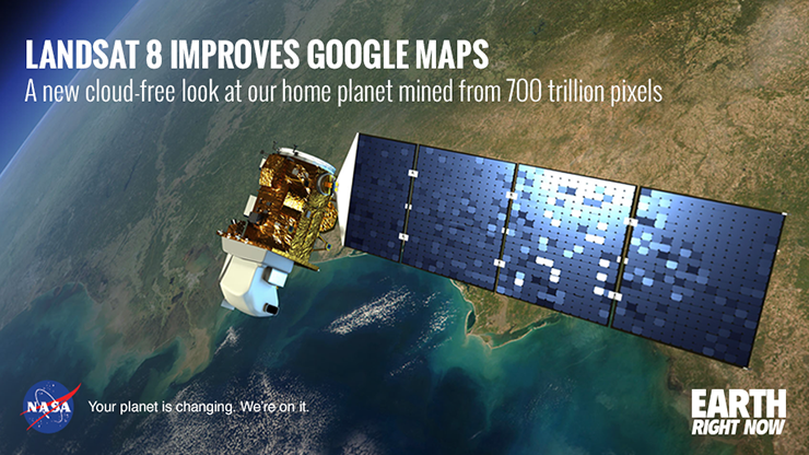
+ Google Earth and Maps updated with higher quality satellite imagery, DP Review
+ Google gets a fancy new look thanks to NASA satellite data, Mashable
+ Google Maps showing high quality imagery thanks to Landsat 8, Tech2
+ Vast improvements to Google Earth thanks to NASA help, Silicon Republic
+ NASA’s Landsat 8 satellite now allows sharper images on Google Earth, Your Story

Be Part of What’s Next: Emerging Applications of Landsat at AGU24
Anyone making innovative use of Landsat data to meet societal needs today and during coming decades is encouraged to submit and abstract for the upcoming “Emerging Science Applications of Landsat” session at AGU24.


