By Laura E.P. Rocchio
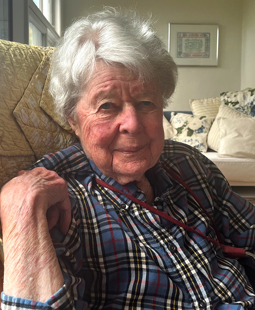
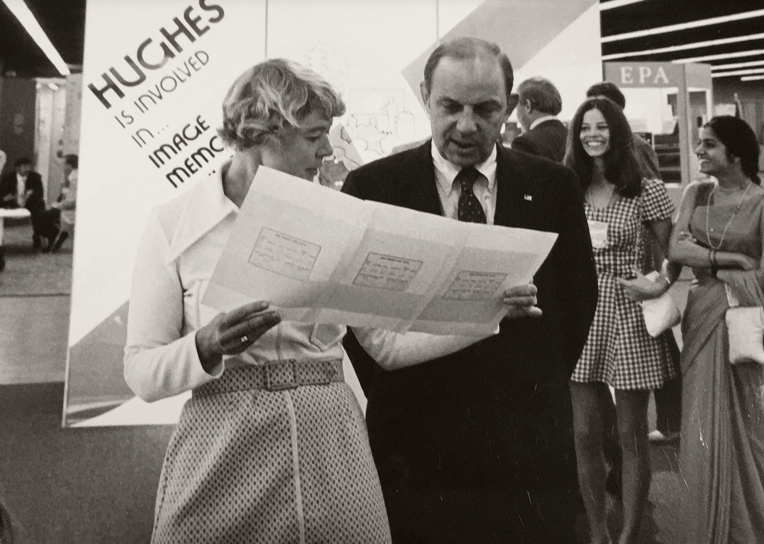
Virginia T. Norwood, a founding figure in the field of satellite land imaging, died on Sunday, March 26 at age 96. Known as the “Mother of Landsat,” Norwood designed the first space-based multispectral scanner that flew on Landsat 1—an instrument that went on to define many aspects of modern remote sensing.
Norwood trained as a mathematical physicist at MIT and became an accomplished engineer. At age 22, prior to her work on Landsat, Norwood developed and patented a radar reflector that uncovered previously untraceable high-altitude winds. When Surveyor 1 made a soft landing on the Moon in 1966 and sent images of the lunar surface back to Earth, it used a transmitter her team designed; she was 39.
Six years later, in 1972, Landsat 1 launched carrying her Multispectral Scanner System (MSS). For this work, Norwood received the 1979 William T. Pecora award acknowledging her considerable contribution towards understanding Earth better with remote sensing.

Additional awards have recently poured in for Norwood as the Landsat Program—and its significant image archive—reached the half-century mark.
Norwood received a Lifetime Achievement Award from ASPRS (the American Society for Photogrammetry and Remote Sensing) in March 2021 for her far-reaching impact on the field of remote sensing.
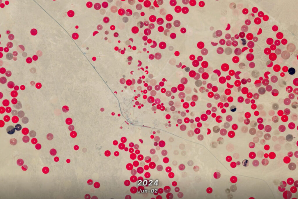
In November 2021, the U.S. Geological Survey bestowed her with its John Wesley Powell Award in recognition of her work on Landsat, which has “transformed our understanding of regional, national and global-scale agriculture, forestry, urbanization, hydrology, disaster mitigation and other changes in land use.”
Last year, she was formally recognized with the American Geographical Society’s O.M. Miller Cartographic Medal for her development of the MSS—an instrument that “transformed expectations of how we can know the Earth.”
Most recently, Norwood was elected to the National Academy of Engineering (NAE) in February. Election into NAE membership is reserved for those who have made outstanding, novel contributions to the field of engineering; it is considered among the highest professional distinctions possible for an engineer.
“With all that Virginia Norwood did in her career, especially regarding the development of the spectacularly successful multispectral scanner for Landsat, it is phenomenal and incredibly appropriate that she has been elected to the National Academy of Engineering,” said climatologist Claire Parkinson, the former Aqua Project Scientist and a NAE member since 2009. “I can’t think of a more deserving person.”
“It is wonderful that near the end of her life, Virginia knew that her work was being honored by many groups in many ways.”

Further Reading
Virginia T. Norwood: The Mother of Landsat, NASA Landsat Science
The woman who brought us the world, MIT Technology Review
Virginia Norwood, la “madre del Landsat” que revolucionó la observación de la Tierra desde el espacio, BBC News Mundo
Landsat’s Enduring Legacy: Pioneering Global Land Observations from Space, ASPRS


