Search
Close this search box.

Category: Fire

News Archive

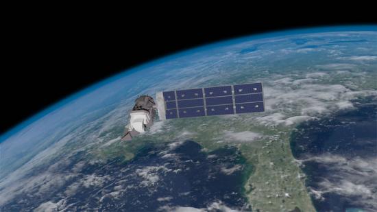
Landsat Revisits Old Flames in Fire Trends

The Wallow Fire burned over 500,000 acres, making it the largest fire in Arizona history, to date. It is one of many large fires that fire managers and researchers have seen scorch forests nationwide since the early 2000s.

Read More »

After a Fire, Before a Flood

While the 138,000-acre Silver Fire still smoldered, forest restoration specialists were on the job. They analyzed maps created using Landsat satellite data to determine where the burn destroyed vegetation and exposed soil—and where to focus emergency restoration efforts.

Read More »

NASA 'Fire Towers' in Space Watch for Wildfires

The Black Forest wildfire this June was one of the most destructive in Colorado history, in terms of homes lost. It started close to houses and quickly spread through the ponderosa pine canopies on the rolling hills near Colorado Springs. The wildfire destroyed 500 homes in the first 48 hours and killed two people.

Read More »

Using Landsat 8 to Locate Fires in Indonesia

In June, air pollution over Singapore and Malaysia spiked as forests in neighboring Sumatra (Indonesia) burned. Using NASA’s daily fire alerts and official national maps, the fires were located in the vicinity of oil palm and acacia tree plantations. However, the coarse resolution of the fire alerts coupled with outdated national maps, made it hard to establish culpability.

Read More »

Quantifying Burn Severity

Contributors: TK, Jeannie Allen Through the Joint National Park Service (NPS)-USGS National Burn Severity Mapping Project, researchers use Landsat imagery to quantify fire effects over

Read More »