Contributor: Curtis E. Woodcock, Boston University
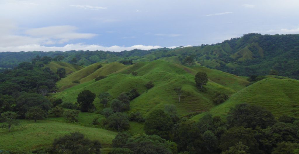
Fire, drought, and humans all can destroy forests and their ecosystems. While much attention is paid to deforestation in tropical rainforests, very few comprehensive studies have been done to address changes in the Earth’s temperate conifer forests. Temperate conifer forests lie at latitudes above tropical forests and below boreal forests and account for much of the forested area in the United States and Europe.

Understanding changes occurring in temperate conifer forests is important for understanding environmental issues including wildlife habitat protection, watershed management, timber harvest, and understanding the role of human activities on changes in regional climates.
Previously, researchers have only been able to monitor changes in specific locations with Landsat data due to its limited availability. Boston University geographer Curtis E. Woodcock and colleagues used Landsat to monitor how drought in the late 1980s and early 1990s affected forests in California’s Sierra Nevada. During the drought, Woodcock found that Landsat images could recognize areas where trees were dying due to lack of water, a factor making the trees more susceptible to disease and the forest more susceptible to fire.
The practice of clearcutting sections of Washington’s Olympic National Forest and other state forests in the Pacific Northwest was prevalent up until the late 1980s when changes in public policy caused logging to move from public to private land.
With the help of the frequent and comprehensive coverage of Landsat 7, Woodcock and colleagues created a global monitoring system for temperate conifer forests. The monitoring system can measure the rates of destruction of conifer forests due to natural causes such as drought and fire and anthropogenic clearing due to harvest or development of forest lands. The monitoring system can also track the regrowth of forests and successional change in vegetation.

Landsat 7 works in conjunction with NASA EOS land cover change studies based on the EOS Moderate-resolution Imaging Spectroradiometer (MODIS). The MODIS instrument flies aboard the Terra satellite, and is used to identify large areas of significant changes in forest lands. Following up with the finer spatial resolution data from Landsat allows determination of the type of changes and their geographic extent.
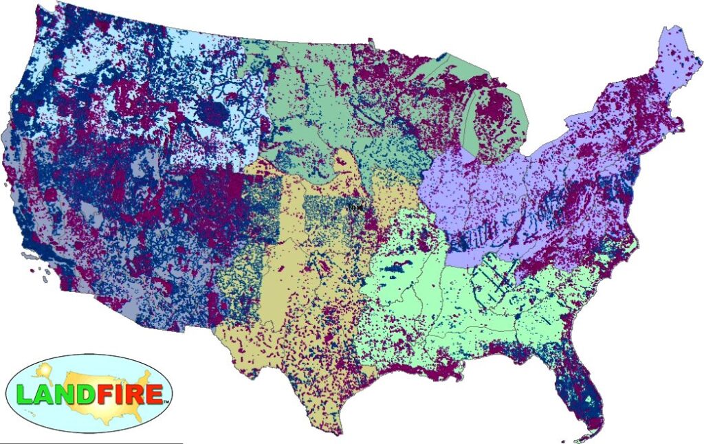
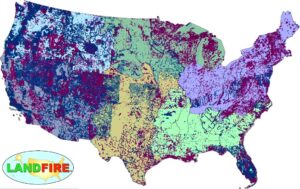
LANDFIRE Remap Is Here
LANDFIRE has released its Remap dataset; new techniques and new data provide significant improvement.