

[Source: earthzine] There is a global effort afoot to fight hunger and reduce poverty by allowing anyone with an internet connection to see agricultural projections.
This month, earthzine took a detailed look at the Group on Earth Observations Global Agricultural Monitoring initiative (GEOGLAM) in a three-piece narrative.
(1) GEOGLAM: Working Together to Reduce Poverty and Fight Global Hunger, by Osha Gray Davidson
In the first article, Osha Gray Davidson, explains what GEOGLAM is and how it will help fight hunger and poverty.
He writes:
GEOGLAM is unique because it is building a “system of systems” that aims to be greater than the sum of its parts. Those parts — national and international agricultural monitoring agencies — leverage data acquired by satellites from several nations and ground-based observations to develop national-to-global scale detailed crop condition information. GEOGLAM then provides the means to produce international consensus reports on global crop conditions. These monthly reports, known as the Crop Monitor, are freely available to anyone with an Internet connection.
The open data also can lessen market volatility — the large fluctuations in food prices that can have disastrous results, particularly for the millions of people in developing nations who spend more than half their income on food. Between June 2010 and January 2011, for example, rising food prices pushed 44 million people into poverty, according to the World Bank. These price hikes are associated with higher levels of malnutrition, as people are forced to eat less or buy cheaper, less nutritious food.
Human-caused climate change is making the challenge of feeding a hungry planet even more complex. A report released earlier this year by a British government taskforce concluded that an increase in extreme weather events — including droughts, floods, and heat waves — may make the global food system more vulnerable to crop failures and resulting production shocks.
Davidson speaks with Alyssa Whitcraft, assistant research professor at University of Maryland and a program scientist at GEOGLAM. She explains: “With GEOGLAM, we now have the power to improve the kinds of information that can contribute to sound policy. The downstream effect can reduce human suffering.”
(2) GEOGLAM Collaboration Builds Bright Future for a Strong Earth Observation Tradition, by Amy C. Hutton
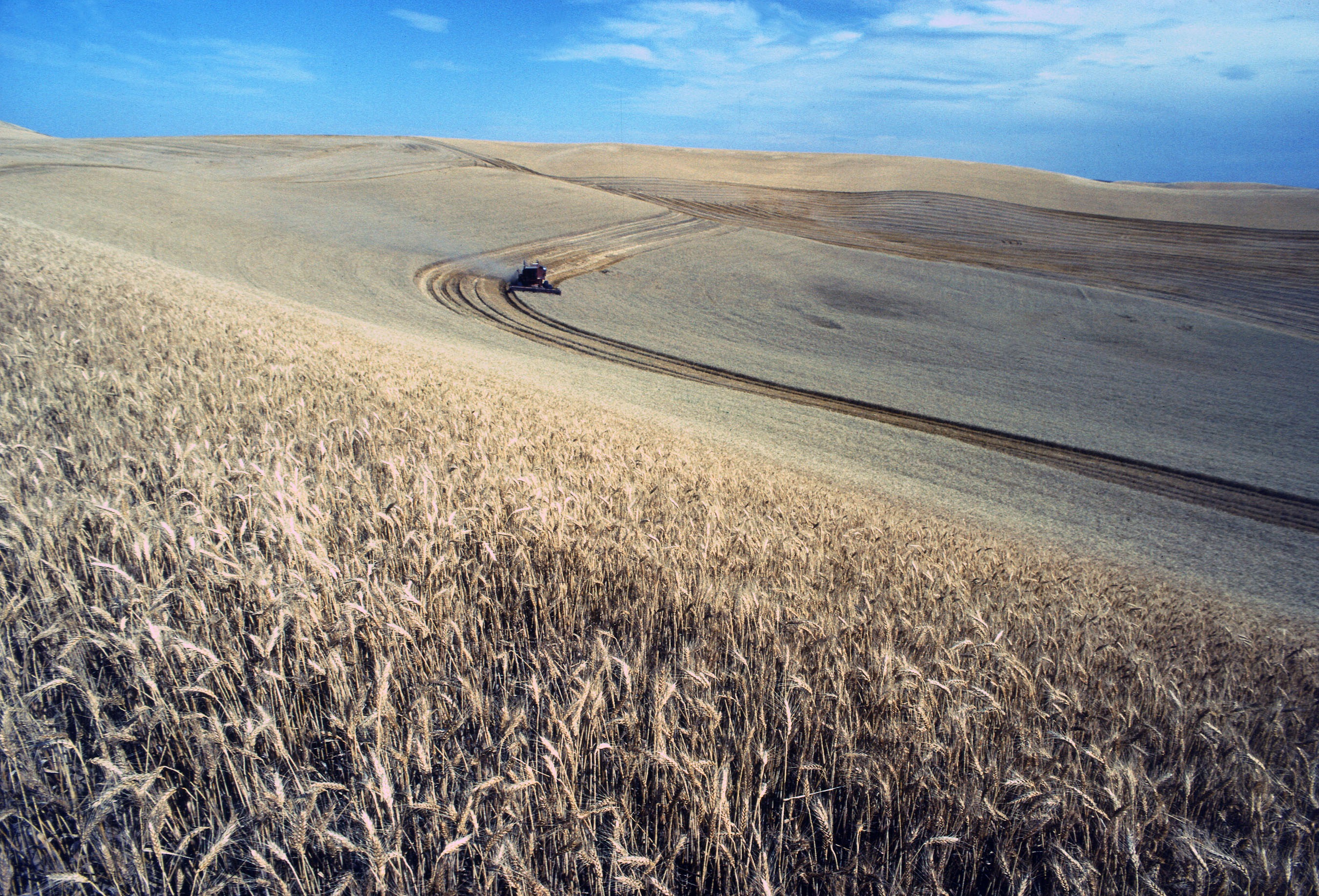
In the second article, Amy C. Hutton, writes about how GEOGLAM will use data from both USGS/NASA and European Space Agency (ESA) satellites: Landsat; the Landsat-like Senitel-2a and -2b; as well as, Sentinel-1, a radar satellite.
Hutton writes:
For the last 43 years, NASA’s [and USGS’s] Earth Observation satellite program has created an unparalleled record of global change, revolutionizing our understanding of land use, climate, and agriculture production trends. Building on this foundation, partners working through GEO Global Agricultural Monitoring (GEOGLAM) are collaborating internationally to bring together new technology, both on the ground and in orbit, to enable timely and applicable agricultural monitoring.
“The Landsat instruments have evolved and improved over the years with changing technologies, providing a dynamic data continuity,” says GEOGLAM principal Dr. Christopher Justice.
By coordinating the Landsats with ESA’s two new Sentinel-2 satellites, GEOGLAM aims to cut the scene capture interval to every two days, enabling crop condition monitoring and improving yield estimation. NASA’s Goddard Space Flight Center also is collaborating with European colleagues to develop a standard processing of data from the multiple instruments.
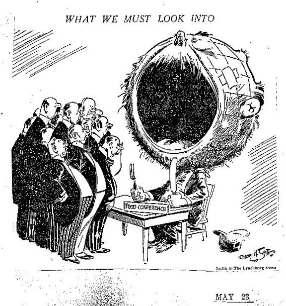
(3) The ‘Great Grain Robbery’ of 1972, by Rachel Chenven Powers
In the third article, author Rachel Chenven Powers takes a look back in history to explain the birth of space-based agricultural monitoring.
Powers writes:
The “Great Grain Robbery” was not really a robbery, but it was a major turning point in the history of agricultural monitoring. [In the same timeframe as the “Great Grain Robbery”], scientists at NASA had just launched Landsat 1 with the aim of contributing to the better management of the Earth’s resources. NASA teamed up with the U.S. Department of Agriculture (USDA) and the National Oceanic and Atmospheric Administration (NOAA) to develop crop production forecasts through satellite monitoring. Out of the unsettling agricultural and economic events of 1972, the beginnings of a robust agricultural monitoring program were born.
+ Visit earthzine to read the full articles


