
Landsat 7 and Landsat 8 acquire over 1,200 new images per day. This is more data than at any other time in the history of the Landsat program.
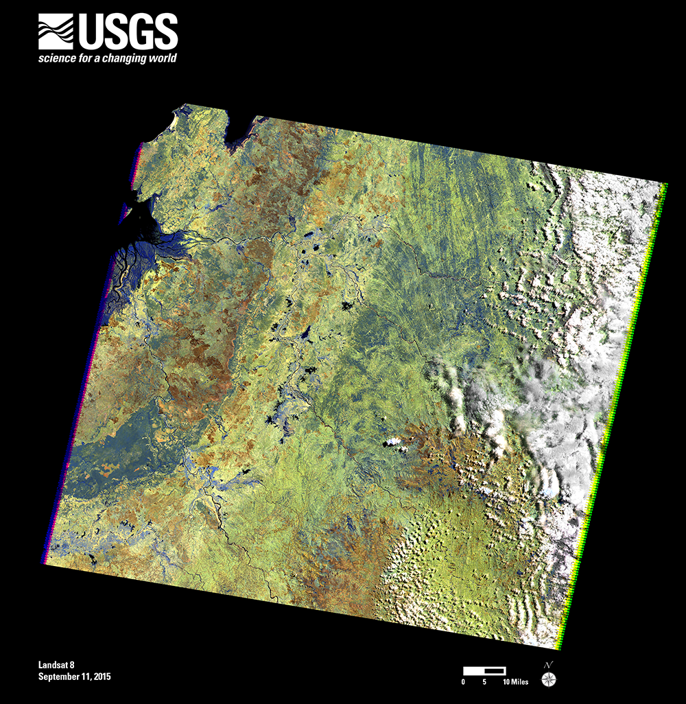
The 2 millionth Landsat 7 scene includes a portion of northwestern Madagascar, acquired on September 11, 2015. The dark region in the lower left is the Ankarafantsika Nature Reserve. This large area of deciduous forest, savannah, and wetland is protected as a national park. On the left edge of the scene is Mahajamba Bay. This shallow bay contains Madagascar’s largest mangrove ecosystem, with tidal mudflats along the edges of the mangroves.
+ Download full resolution poster from USGS

Be Part of What’s Next: Emerging Applications of Landsat at AGU24
Anyone making innovative use of Landsat data to meet societal needs today and during coming decades is encouraged to submit and abstract for the upcoming “Emerging Science Applications of Landsat” session at AGU24.


