By Madeleine Gregory
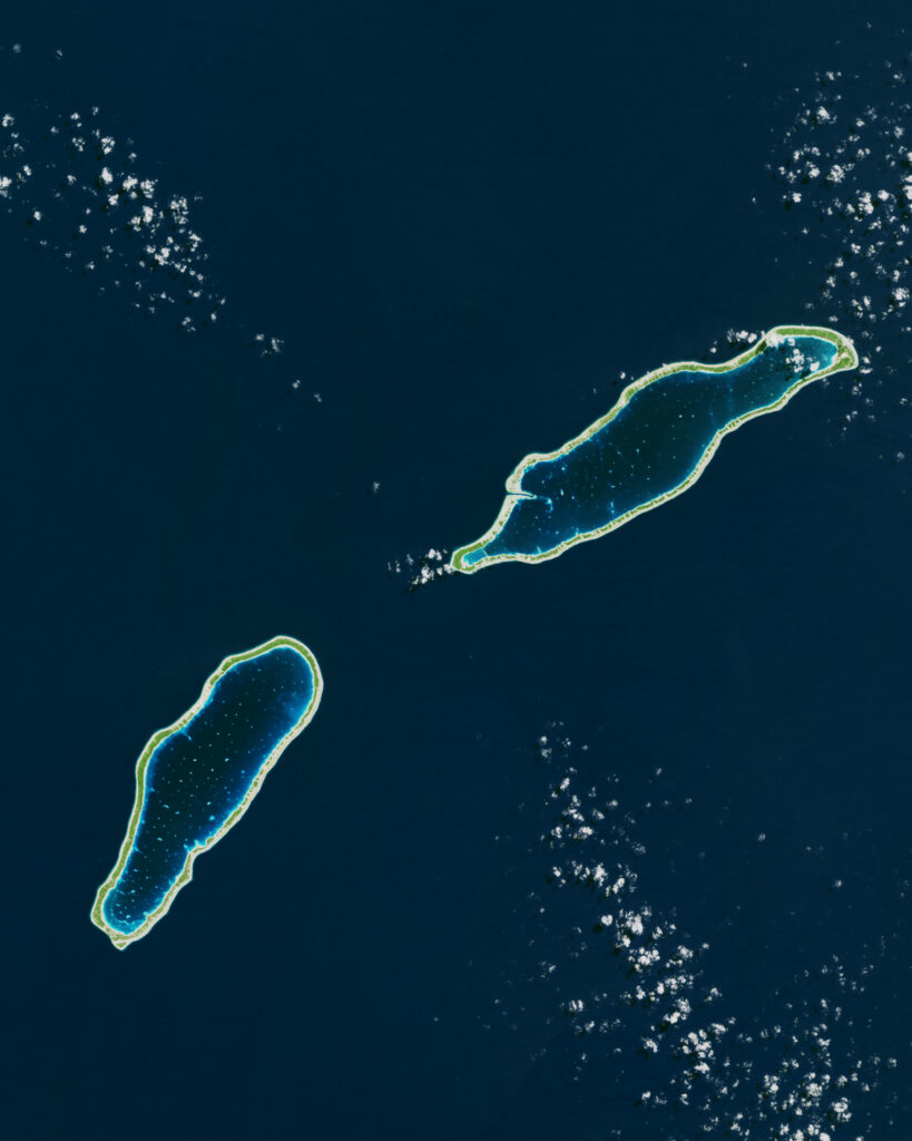
From a birds-eye view, the South Pacific’s many atolls look almost like a trick of the light. Zoomed closer, these scattered dots on the wide expanse of the Pacific Ocean reveal themselves to be ring-shaped slivers of land or reef enclosing turquoise lagoons.
Most atolls are tiny, just a few dozen square miles, but they’re of outsize importance. In the atolls of French Polynesia, farming for clams or pearls is an important part of the local economy. Now, with climate change warming waters, this economy is threatened by marine heat waves and coral bleaching events. Tracking the changing temperatures of these atolls is critical but difficult: temperature sensors are expensive to maintain, especially as many of these atolls are remote and hard to access.

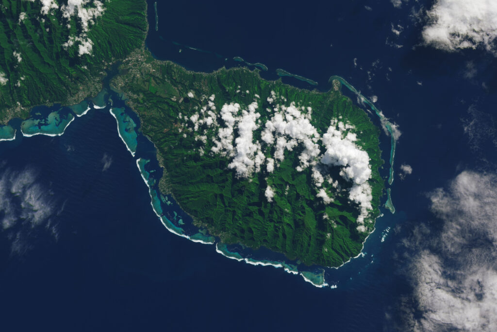
French Polynesia is halfway between South America and Australia, about 2,500 miles south of Hawaii. The islands themselves are spread out, too: Tahiti, the biggest island in French Polynesia, is over 350 miles from Takaroa, the closest atoll studied.
In a study published in Remote Sensing Applications: Society and Environment, researchers set out to uncover whether satellite data could help fill in the gap in temperature data. What they found was promising: sea surface temperature (SST) collected from Landsat 8 was able to accurately measure the spatial gradient of temperatures of four atoll lagoons.
The study focused on four atolls of aquaculture interest in the Tuamotu Archipelago in French Polynesia: Takaroa, Raroia, Tatakoto, and Reao. Researchers collected data from in situ temperature sensors placed in each atoll. Then, they used SST algorithms to infer temperature from Landsat 8 thermal data for each of these lagoons. They found that the temperature measurements from the sensors matched up well with the temperature data collected from Landsat. In fact, Landsat was able to get a better picture of the spatial gradient of temperature in the atolls, as each atoll had a limited number of in situ sensors to capture the range of temperatures of each lagoon.

There were limitations to using Landsat 8. Firstly, the SST algorithm performed better when it was optimized atoll-by-atoll rather than generally across all atolls, meaning that collecting in situ temperature data is a necessary step in calibrating the algorithms. Secondly, Landsat 8 passes over these atolls around 9 am every 16 days, meaning that it can’t capture the full temporal variation of temperatures. In situ sensors, on the other hand, can record temperatures throughout the day and with greater frequency. The temporal resolution could be improved by including data from Landsat 9 (which launched while this research was underway), and even further with the launch of Landsat Next in early 2031. Landsat Next is set to have a temporal revisit of 6 days.
The world has 598 atolls, many of which are lacking sea surface temperature maps. The temperatures in atoll lagoons can deviate significantly from surrounding ocean temperatures. This research points to satellite data as an important tool to begin filling in those data gaps, which is critical for managing marine resources, understanding how ecosystems and fisheries respond to temperature changes, and mapping refugia and areas of high risk for endangered species. Climate change promises to warm lagoons and increase the threats to local ecosystems and economies. Tracking temperature shifts with Landsat—especially with Landsat Next’s improved temporal revisit and 10-meter spatial resolution—could help fishery and environmental managers adapt to these changing waters.


