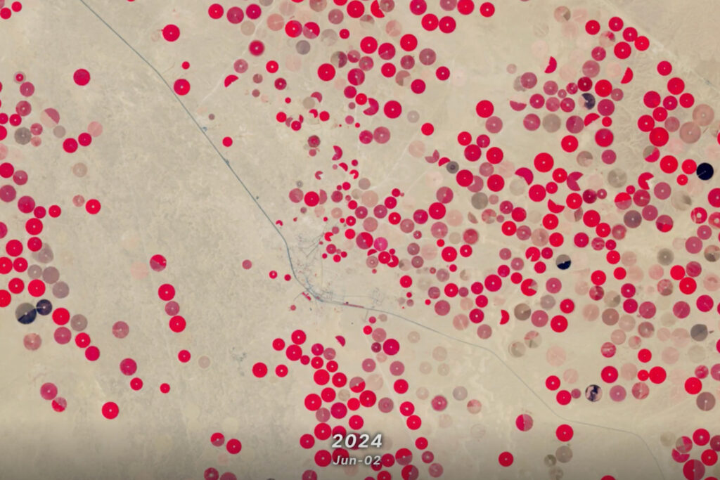
The data animation, based on LandTrendr-derived land cover change, illustrates the effects of political boundaries on forest cover as well as the relationship between insect infestations and forest fire behavior.
On May 4, 2017, Hooper’s video won Science’s People Choice Award in its 2017 Data Stories Contest. Congratulations Sam!
Further Reading:
+ 2017 Data Stories Winners, Science
+ LandTrendr website

Undamming the Klamath
Between October 2023 and October 2024, the four dams of the Klamath Hydroelectric Project were taken down, opening more than 400 miles of salmon habitat.


