Source: Jeff Ho and Anna Michalak, Carnegie Science
With the growing frequency and magnitude of toxic freshwater algal blooms becoming an increasingly worrisome public health concern, Carnegie scientists Jeff Ho and Anna Michalak, along with colleagues, have made new advances in understanding the drivers behind Lake Erie blooms and their implications for lake restoration. The work is published in two related studies.
Using data from NASA’s Landsat 5 instrument, the researchers generated new estimates of historical algal blooms in Lake Erie, more than doubling the number of years previously available for scientists to investigate, from 14 to 32. (This first study was published in Remote Sensing of Environment.) Exploring this new historical record, they discovered that decadal-scale cumulative phosphorous loading—that is the runoff that enters the waterway—helps to predict bloom size in addition to the effects from same-year phosphorus inputs. The work suggests that it may take up to a decade to reap the benefits of recently proposed nutrient loading reductions. (This second study was published in the Journal of Great Lakes Research.)
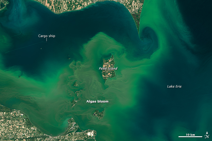
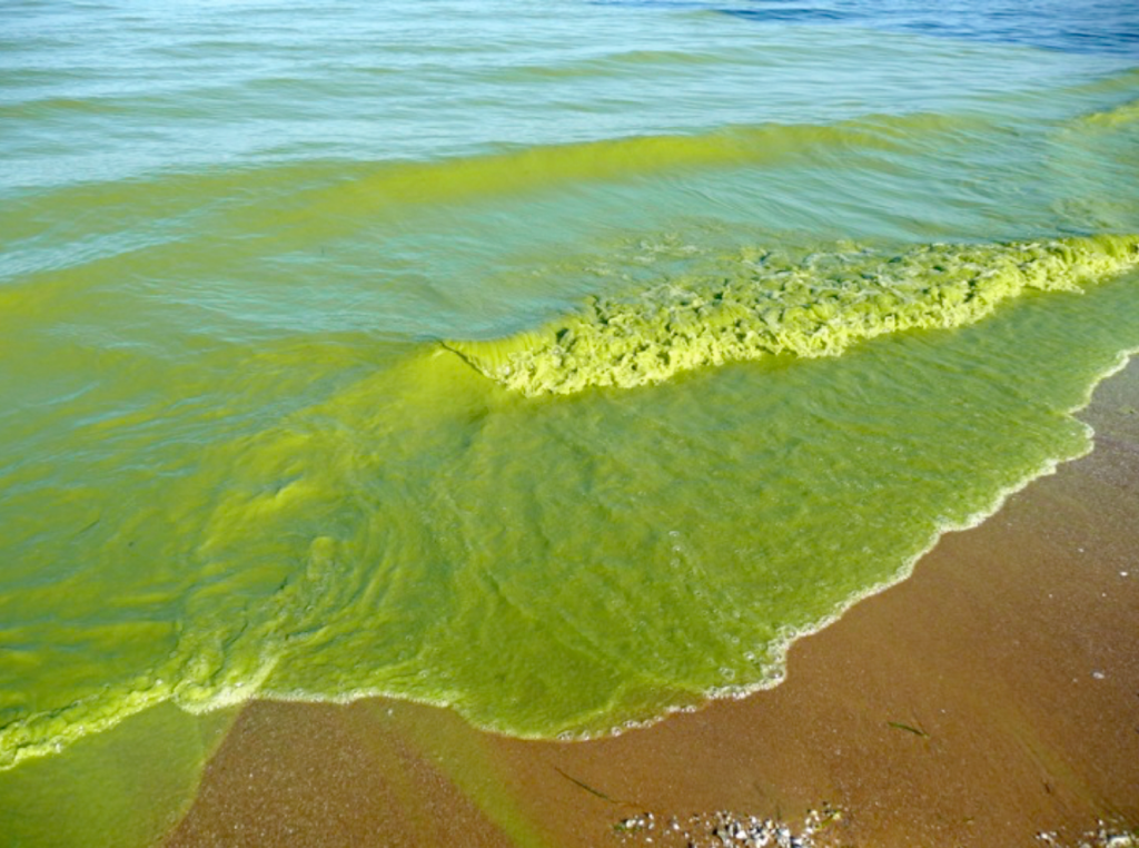
Harmful freshwater algal blooms result when excessive amounts of phosphorus are added to the water, often as runoff from fertilizer. The excess phosphorus stimulates the growth of aquatic plants and phytoplankton like the blue-green algae Microcytsis sp., an organism that produces a toxin affecting the human liver and can also cause skin irritation.
Nowhere has the problem of toxic algal blooms been felt more acutely than Lake Erie, which borders the U.S. states of Ohio, Pennsylvania, and New York, and the Canadian province of Ontario. In the 1960s and 1970s, algal blooms were a major nuisance, but bi-national phosphorus targets led to lake recovery. More recently, the blooms have returned with greater intensity and consequences, with record-setting blooms in 2011 and 2015. Toxins from a Microcystis bloom in 2014 led to a three-day “do not drink tap water” advisory for the 500,000 residents of Toledo, Ohio, and the surrounding area.
“The water quality in the western portion of Lake Erie has been declining for two decades,” remarked lead author Jeff Ho. “Some 11 million people depend on Lake Erie for drinking water.”
This urgent problem prompted the development of new phosphorus targets from the bi-national International Joint Commission in 2016. The new targets are an important step in safeguarding Lake Erie’s water, but recovery is likely to take several years even after the amount of phosphorus entering the lake has decreased.
“The results of our studies suggest that phosphorus trapped in lake sediments continues to be re-released into the lake for several years, feeding blooms year after year,” remarked co-author Anna Michalak.
Michalak and Ho were motivated to embark on these studies after realizing that all current efforts to model toxic blooms in Lake Erie were based on fewer than fifteen years of data. “Would our understanding of lake processes change if we could go back to see what was happening in the ’80s and ’90s?” Michalak remembers asking.
The first step was to glean new information about historical blooms from existing satellite records. To do this, the team looked at the Landsat 5 archive, going back to 1984. Using a newly developed method based on multiple metrics of bloom presence, distribution, size, and timing, they evaluated eleven candidate Landsat algorithms, and found the one that best matched existing data for recent years. They then applied this algorithm to map blooms back to 1984, more than doubling the existing historical record, and dramatically boosting their ability to understand trends and causes.
“This multi-metric approach for identifying the best bloom-detection algorithm gave us a comprehensive picture of each algorithm’s strength and weaknesses,” remarked Ho.
With these new bloom data in hand, the researchers explored relationships between bloom severity and water inputs to the lake, especially phosphorus. The researchers discovered that the amount of phosphorus entering the lake each spring, together with the amount of phosphorus that had entered the lake over the previous decade, could explain three quarters of the year-to-year variability in bloom size over the three-decade period of record.
“The cumulative phosphorus load, indicative of long-term trends in bloom size, was the key to understanding why some blooms had occurred during years with very little spring phosphorus runoff,” remarked Ho. “It also explains why blooms have been getting bigger in recent years, even more so than we would have expected based on year-to-year changes in springtime loading alone,” added Michalak.
“The path ahead for Lake Erie is clear—we have to reduce the amount of phosphorus flowing into the lake. And we will need to be patient to give the lake time to recover,” concluded Michalak.
This work was supported by the U. S. National Science Foundation and the Natural Sciences and Engineering Research Council of Canada.


