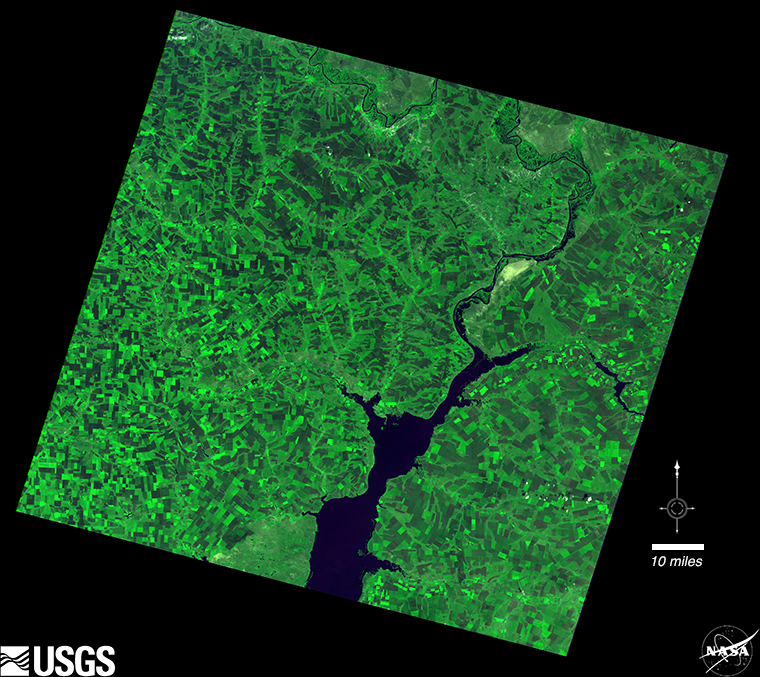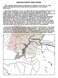
 “This Landsat (MSS) image, acquired by Landsat 2 on May 27, 1981 (WRS-1 Path 186 Row 26), marks the one-millionth MSS image acquired by the Landsat satellites. The image covers a 115×115-mile (185×185-km) area of the steppe (vast treeless plain) region of southwestern Russia. The large body of water on the south-central portion of the image is the Tsimlyanskoye reservoir, located approximately 60 miles (96 km) west of Volgograd (formerly Stalingrad) and 550 miles (885 km) south of Moscow. The river that meanders north and west of the Tsimlyanskoye reservoir is the Don River. The darker [green] tones along the Don River appear to be stands of trees, and the white areas are sand. The canal that runs off the image to the east from the reservoir is the Volga-Don Canal that canal links the Don River with the Volga River just south of Volgograd. As is apparent from the large field patterns throughout the image, this area is an extensive agricultural region. The climate is similar to that of central South Dakota, with annual precipitation of 15 to 18 inches (381–457 mm). The predominantly larger [green] areas or fields are either winter or spring wheat or other small grains.”
This document (right) and image description (above) were found while research was being conducted for the Landsat Legacy project.
USGS manages the Landsat data archive, where all Landsat imagery—including historical images like this—can be found and freely downloaded. Since making Landsat data available at no cost, Landsat data downloads have skyrocketed. On Sept. 19, 2014, USGS reported that Landsat image downloads had reached 20 million!

Be Part of What’s Next: Emerging Applications of Landsat at AGU24
Anyone making innovative use of Landsat data to meet societal needs today and during coming decades is encouraged to submit and abstract for the upcoming “Emerging Science Applications of Landsat” session at AGU24.


