Location: Imperial Valley, California
Source: USGS Earthshots

The Imperial Valley is actually an extension of the Gulf of California, cut off from the Gulf by the Colorado River’s delta fan. The area south of the border is known as the Mexicali Valley. In these images, several cities are visible within the area of irrigated agriculture surrounded by the natural desert. At the bottom of the sink lies the Salton Sea, the largest lake in California.
The Imperial Valley has good agricultural soils but is extremely dry. In 1901 a company began diverting some Colorado River water into the valley for irrigation. In a 1905 flood, the Colorado River broke through a half-finished headgate of an irrigation ditch until almost the entire river was flowing into the sink rather than toward the Gulf of California. It took engineers and work crews until 1907 to return the river to its proper course, by which time a considerable lake had formed.
Today, the All-American Canal (visible just north of the border) taps into the Colorado River and carries about 90% of the river’s water away to the valley (5 million acre-feet annually).
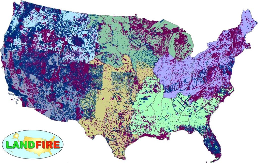
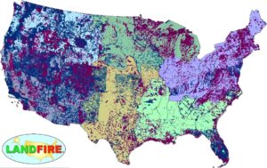
LANDFIRE Remap Is Here
LANDFIRE has released its Remap dataset; new techniques and new data provide significant improvement.