
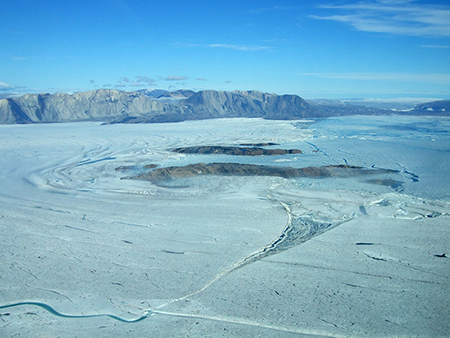
The data portal uses over 37,000 Landsat image—going all the way back to 1972—to monitor glacier movement.
The authors write:
“The long time span covered by the Landsat scenes allows us to determine long-term flow velocity trends. The high temporal resolution lets us analyze seasonal flow velocity variations of numerous outlet glaciers…The monitoring system provides a powerful tool to examine the flow velocity pattern throughout time and space, and we have detected an acceleration pattern for a number of outlet glaciers.”
Read the full article:
+ Scheinert, M., R. Rosenau, and B. Ebermann (2016), Using landsat to take the long view on Greenland’s glaciers, Eos, 97, doi:10.1029/2016EO065625. Published on 29 December 2016.
Visit the data portal:
+ Velocity fields of Greenland outlet glaciers
Reference:
Rosenau, R.; Scheinert, M.; Dietrich, R. (2015): A processing system to monitor Greenland outlet glacier velocity variations at decadal and seasonal time scales utilizing the Landsat imagery. Remote Sens. Environ., 169, 1-19, doi: 10.1016/j.rse.2015.07.012

A Rendezvous with Landsat
NASA outreach specialists led educators through a workshop on accessing and utilizing Landsat data at the annual Earth Educators’ Rendezvous.


