
Landsat's Role in Responding to Disasters
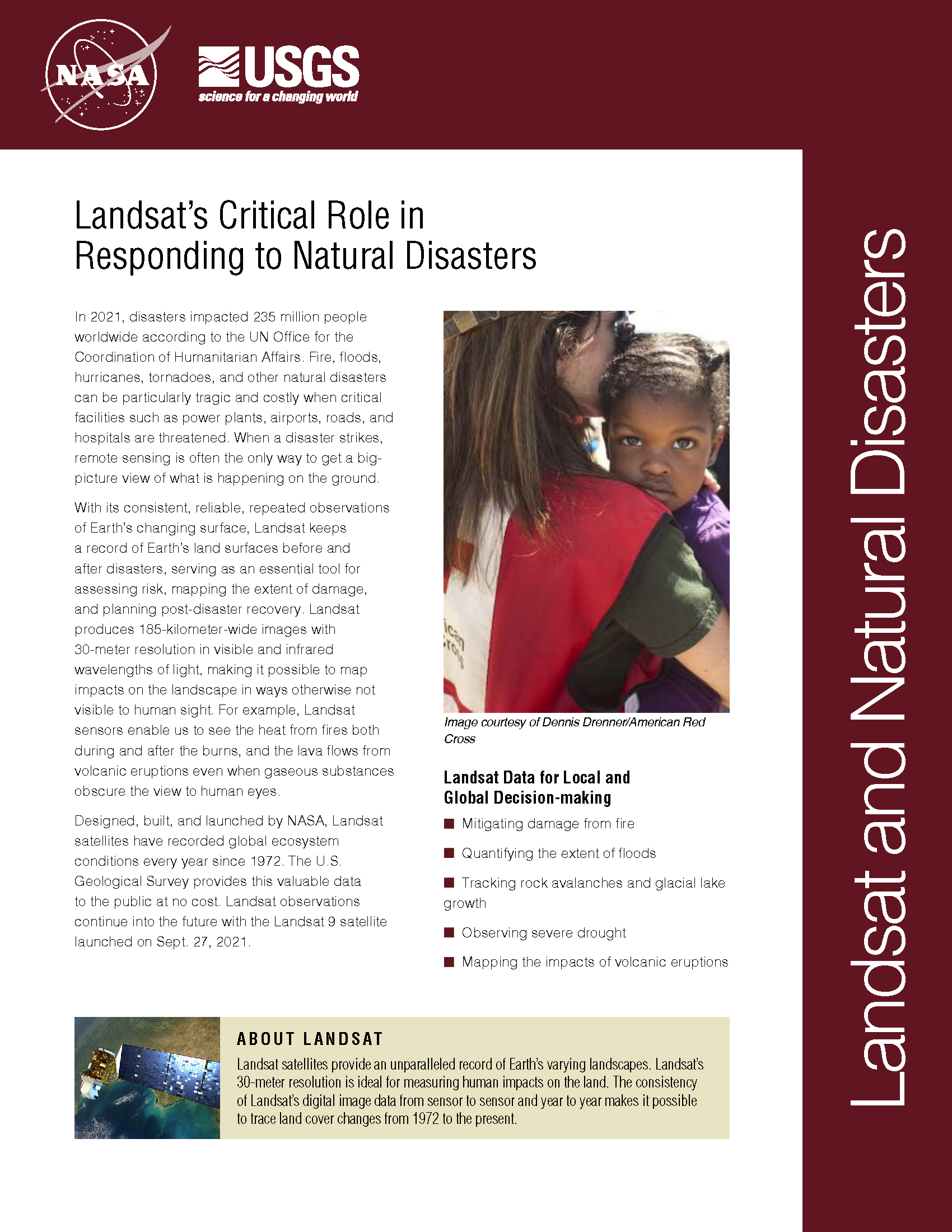
In 2022, the Emergency Events Database (EM-DAT) reported 387 natural hazards and disasters worldwide, resulting in the loss of over 30,000 lives and affecting more than 185 million individuals. Economic losses totaled around US$223.8 billion. Fires, floods, heat waves, drought, hurricanes, tornadoes, and other natural disasters can be particularly tragic and costly when critical facilities such as power plants, airports, roads, and hospitals are threatened. When a disaster strikes, remote sensing is often the only way to get a big-picture view of what is happening on the ground. With its consistent, reliable, repeated observations of Earth’s changing surface, Landsat keeps a record of Earth’s land surfaces before and after disasters, serving as an essential tool for assessing risk, mapping the extent of damage, and planning post-disaster recovery. Landsat produces 185-kilometer-wide images with 30-meter resolution in visible and infrared wavelengths of light, making it possible to map impacts on the landscape in ways otherwise not visible to human sight. For example, Landsat sensors enable us to see the heat from fires both during and after the burns, and the lava flows from volcanic eruptions even when gaseous substances obscure the view to human eyes.
Landsat Images Reveal Extent of Historic North Dakota Flooding
Heavy rains in Canada caused historic flooding in Minot, N.D. Landsat satellite images taken before and during the flooding reveal the water’s extent. The Souris River finally crested on June
Landsat 5 Satellite Helps Emergency Managers Fight Largest Fire in Arizona History
Contributor: Rob Gutro, NASA Goddard Space Flight Center The largest fire in the history of the state of Arizona continues to burn and emergency managers and responders are using satellite
Landsat 5 Satellite Sees Mississippi River Floodwaters Lingering
In a Landsat 5 satellite image captured June 11, 2011, flooding is still evident both east and west of the Mississippi River near Vicksburg, Miss. Standing water is most apparent,
Arizona Wildfire Sweeps Through Apache National Forest
Source: Jan Nelson, USGS / Rob Gutro, NASA Goddard Space Flight Center The second largest fire in Arizona history, the Wallow Fire is graphically depicted by this Landsat image, taken
Landsat 5 Sees Tornado Track near Sturbridge, Massachusetts
Source: Michon Scott, NASA’s Goddard Space Flight Center On June 1, 2011, a supercell thunderstorm developed over western Massachusetts. The storm produced an EF3 tornado that cut a 39-mile (63-kilometer)
Landsat Offers Stunning Comparison Of Flooding
Extreme rainfall and heavy snowmelt have combined this spring to bring the Mississippi River roaring beyond its banks. While humans on the ground have scrambled to evacuate, build sandbag walls,
