
Landsat's Role in Responding to Disasters
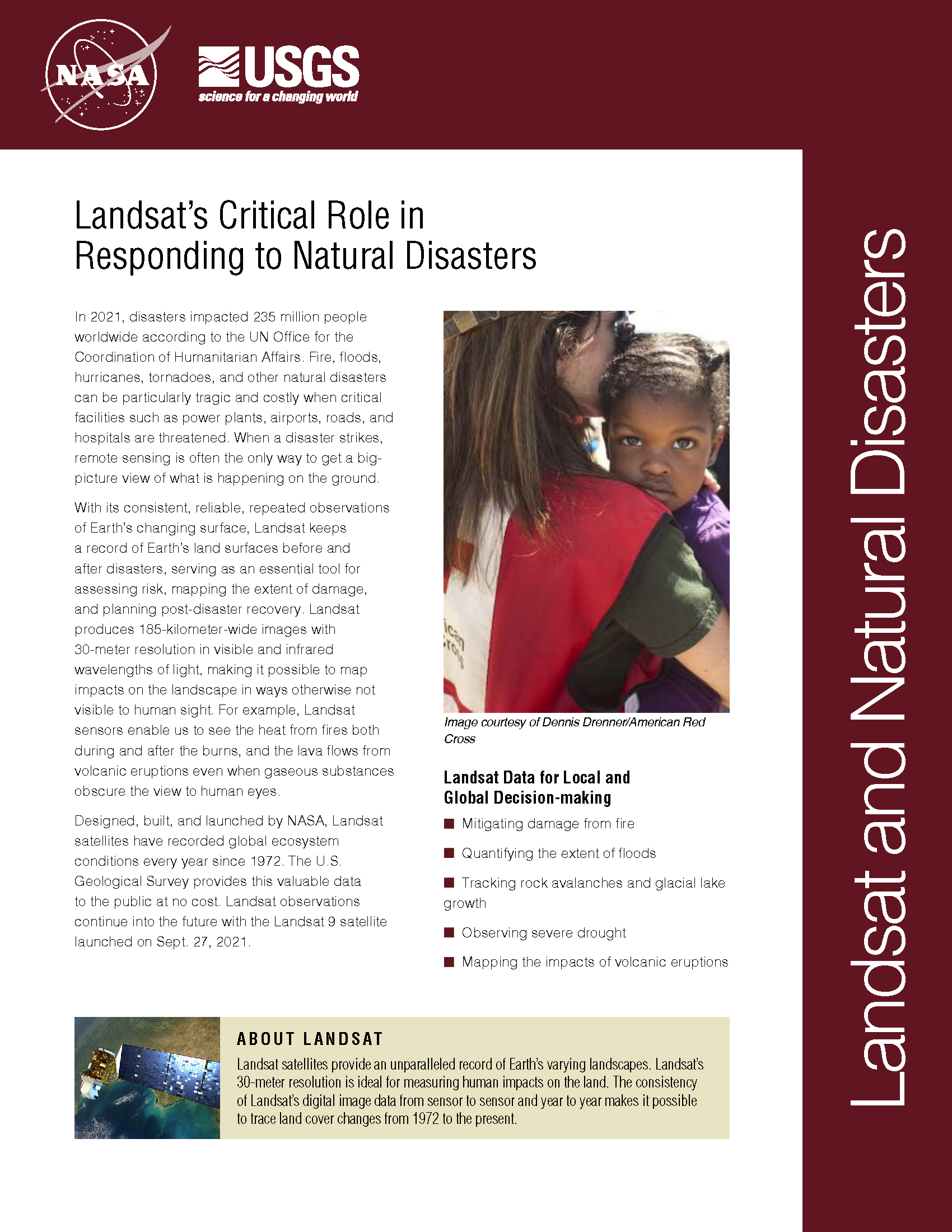
In 2022, the Emergency Events Database (EM-DAT) reported 387 natural hazards and disasters worldwide, resulting in the loss of over 30,000 lives and affecting more than 185 million individuals. Economic losses totaled around US$223.8 billion. Fires, floods, heat waves, drought, hurricanes, tornadoes, and other natural disasters can be particularly tragic and costly when critical facilities such as power plants, airports, roads, and hospitals are threatened. When a disaster strikes, remote sensing is often the only way to get a big-picture view of what is happening on the ground. With its consistent, reliable, repeated observations of Earth’s changing surface, Landsat keeps a record of Earth’s land surfaces before and after disasters, serving as an essential tool for assessing risk, mapping the extent of damage, and planning post-disaster recovery. Landsat produces 185-kilometer-wide images with 30-meter resolution in visible and infrared wavelengths of light, making it possible to map impacts on the landscape in ways otherwise not visible to human sight. For example, Landsat sensors enable us to see the heat from fires both during and after the burns, and the lava flows from volcanic eruptions even when gaseous substances obscure the view to human eyes.
Mapping Orinoco and Caroni River Floods in Venezuela
The Disaster Charter used Landsat 8 data to map flooding on the Orinoco and Caroni Rivers.
Landsat Helps Map Fires in Western and Southern Cape Provinces of South Africa
Landsat 8 data was used to map the fire extent, measuring some 16,000 hectares of destruction.
Blazing Fast Relief: A NASA-Supported Tool is Accelerating Wildfire Recovery
Burned Area Emergency Response teams—one of most important parts of wildfires that you’ve probably never heard of.
Mt. St. Helens, 37 Years of Recovery
In the decades since the Mount St. Helens eruption, scientists have studied the recovery of the ecosystem around the mountain using the Landsat series of satellites.
UNOSAT Maps Flood Extent Near Lake Urmia with Landsat 8
A Landsat 8-based map showing regions south of Iran’s Lake Urmia that have been effected by recent flooding has been created for UN decision makers.
Creating a Volcanic Plume Elevation Model
Using Landsat 8 to create three-dimensional maps of volcanic ash plumes.
