
Landsat's Role in Responding to Disasters
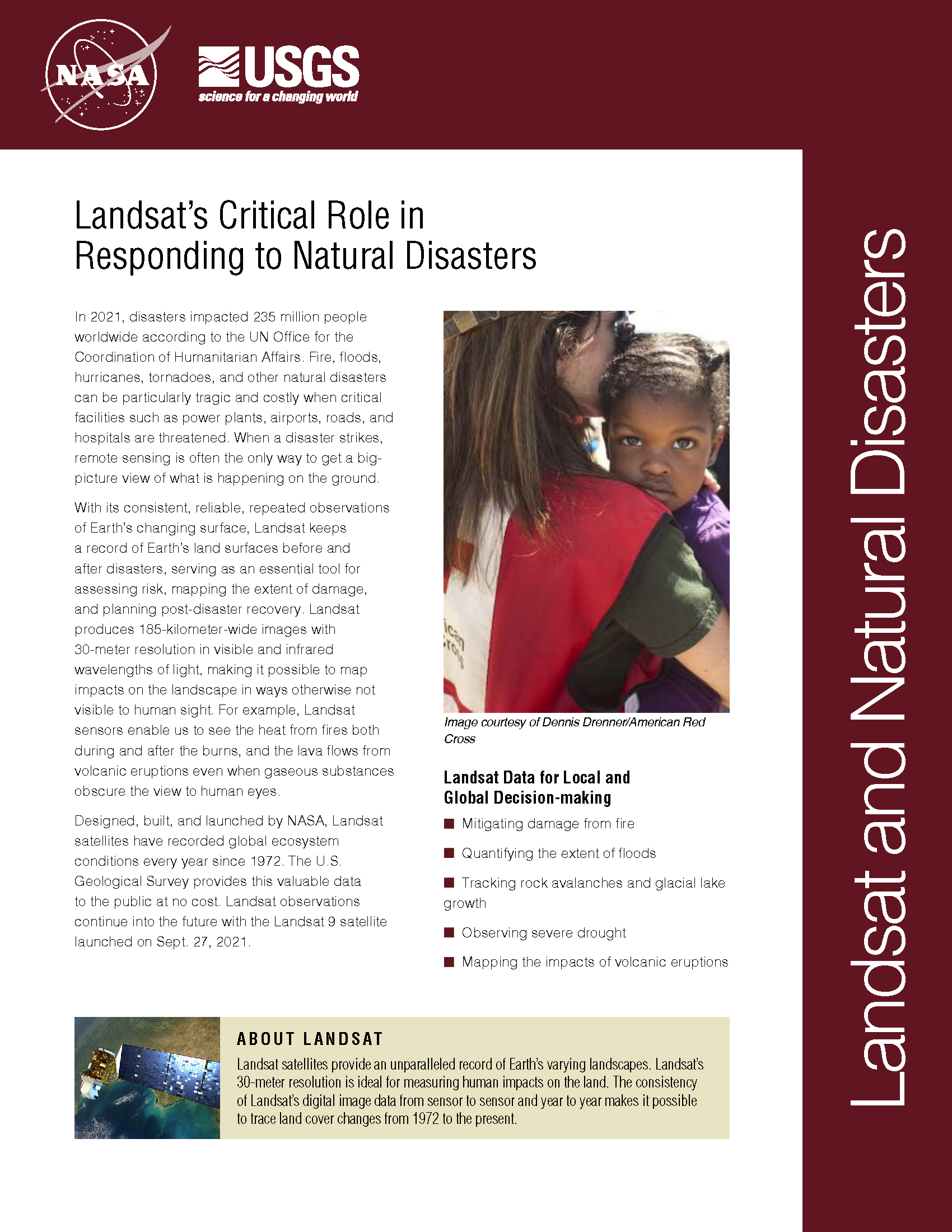
In 2022, the Emergency Events Database (EM-DAT) reported 387 natural hazards and disasters worldwide, resulting in the loss of over 30,000 lives and affecting more than 185 million individuals. Economic losses totaled around US$223.8 billion. Fires, floods, heat waves, drought, hurricanes, tornadoes, and other natural disasters can be particularly tragic and costly when critical facilities such as power plants, airports, roads, and hospitals are threatened. When a disaster strikes, remote sensing is often the only way to get a big-picture view of what is happening on the ground. With its consistent, reliable, repeated observations of Earth’s changing surface, Landsat keeps a record of Earth’s land surfaces before and after disasters, serving as an essential tool for assessing risk, mapping the extent of damage, and planning post-disaster recovery. Landsat produces 185-kilometer-wide images with 30-meter resolution in visible and infrared wavelengths of light, making it possible to map impacts on the landscape in ways otherwise not visible to human sight. For example, Landsat sensors enable us to see the heat from fires both during and after the burns, and the lava flows from volcanic eruptions even when gaseous substances obscure the view to human eyes.
The 2015 Surge of Kelayayilake Glacier
In May 2015, a severe glacier surge struck the eastern Pamir.
Surveying Damage after Severe Weather Events
Imagery, like Landsat’s, offers an overhead view to NWS personnel.
A Spatial Toolbox to Help Deal with Flooding in Vietnam
A new collaborative platform has been developed to help Vietnam plan for and respond to flooding.
Mapping Historic Floods Around the World
Developing the largest database of spatial extents for historic floods.
Decades of Foothill Forest Growth in Sierra Nevada Mountains Erased Due to California’s Extreme Drought
Analyzing a three-decade record of vegetation cover change from the Landsat to compare previous controls on Sierra Nevada forest growth rates and effects of recent fluctuations in water availability since the mid-1980s.
Landsat Data Show Rapid Recovery for Some Forests in Santa Cruz Mountains Despite Drought
NASA and the U.S. Geological Survey’s Landsat satellite images over the past three decades showed that the severe drought periods recorded since the 1980s have not slowed rapid tree and shrub growth, especially on steep slopes burned recently by wildfires.
